Home » US Maps » Connecticut » County Map
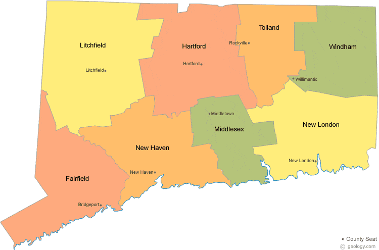
Connecticut County Map with County Seat Cities
ADVERTISEMENT
County Maps for Neighboring States:
Massachusetts New York Rhode Island


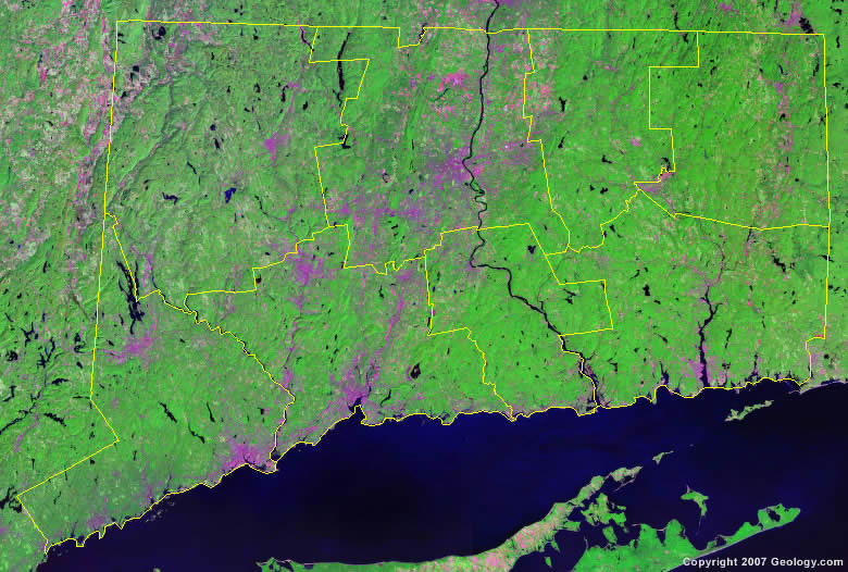
The map above is a Landsat satellite image of Connecticut with County boundaries superimposed. We have a more detailed satellite image of Connecticut without County boundaries.


ADVERTISEMENT
Connecticut Counties and County Seats |
|
|
Fairfield County - Bridgeport Hartford County - Hartford Litchfield County - Litchfield Middlesex County - Middletown |
New Haven County - New Haven New London County - New London Tolland County - Rockville Windham County - Willimantic |
