Home » US Maps » South Carolina » Lakes and Rivers
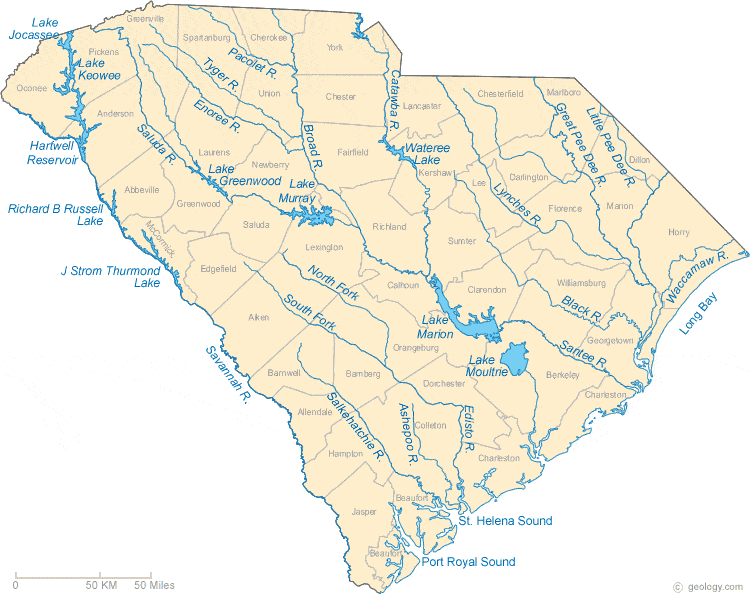
South Carolina Lakes, Rivers and Water Resources
ADVERTISEMENT
South Carolina Rivers Shown on the Map: Ashepoo River, Black River, Broad River, Catawba River, Edisto River, Enoree River, Great Pee Dee River, Little Pee Dee River, Lynches River, North Fork Edisto River, Pacolet River, Salkehatchie River, Saluda River, Santee River, Savannah River, South Fork Edisto River, Tyger River, and Waccamaw River.
South Carolina Lakes Shown on the Map: Hartwell Reservoir, J. Strom Thurmond Lake, Lake Greenwood, Lake Jocassee, Lake Keowee, Lake Marion, Lake Moultrie, Lake Murray, Richard B. Russell Lake and Wateree Lake.
| South Carolina Stream and River Levels |
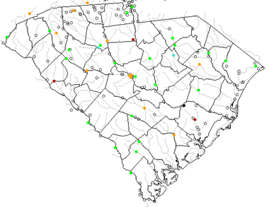 The United States Geological Survey has a number of stream gages located throughout South Carolina. These estimate stream levels, discharges and record them over time. This data is published on the web and many stations allow users to plot custom graphs. Get updated South Carolina river and stream levels from USGS here.
| South Carolina Stream and River Level Alerts |
 The United States Geological Survey has a system that will send you an email message when flood levels are reached on any steam with USGS gaging equipment that you have selected. Sign up here to recieve South Carolina stream and river level alerts.

| South Carolina Drought Map |
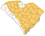 The United States Geological Survey publishes updated drought maps on their website. There you can view a map that shows where below normal 7-day average stream flow conditions were recently recorded. The maps are updated daily. Get a current South Carolina drought map here.
| South Carolina Water Publications |
 The United States Geological Survey has a number of publications related to water use and water resources in South Carolina. Visit the South Atlantic Water Science Center here.
| South Carolina Elevation Map |
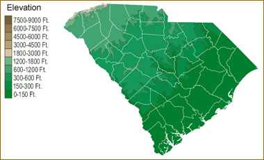 The topography of an area determines the direction of stream flow and often is a primary influence on the geographic distribution of precipitation. View a detailed South Carolina elevation map.


Find Other Topics on Geology.com:

|

| ||

|

| ||

|

| ||

|

|