Home » Satellite Images » US States » North Dakota
Satellite Image of North Dakota
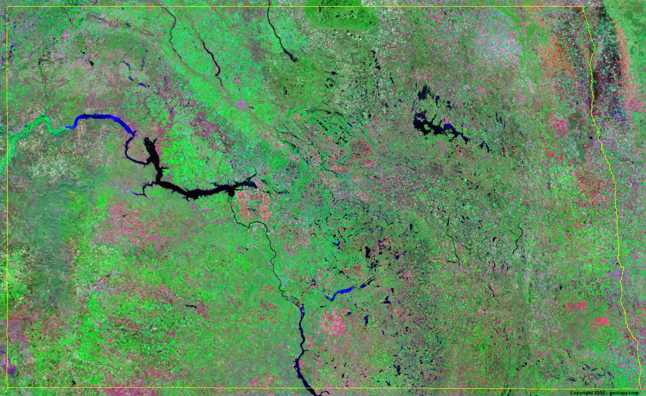
North Dakota Satellite Image - View Cities, Rivers, Lakes & Environment
Satellite Images for Neighboring States:
Minnesota Montana South DakotaThis is a Landsat GeoCover 2000 satellite image map of North Dakota. Cities, rivers, lakes, mountains and other features shown in this image include:
North Dakota Cities:
Bismarck, ND
Devils Lake, ND
Dickinson, ND
Fargo, ND
Grand Forks, ND
Jamestown, ND
Mandan, ND
Minot, ND
Moorhead, ND
Williston, ND
North Dakota Rivers, Lakes, Water Features:
Alkaline Lake
Audubon Lake
Des Lacs River
Devils Lake
Dry Lake
Horsehead Lake
Hurricane Lake
James River
Jamestown Reservoir
Lake Ashtabula
Lake Darling
Lake Oahe
Lake Sakakawea
Long Lake
Missouri River
Red Lake
Red River
Round Lake
Smoky Lake
Souris River
South Lake
Stump Lake
Sweetwater Lake
White Lake
Other Prominent North Dakota Features:
Killdeer Mountains
North Dakota farm land
ADVERTISEMENT
More Satellite Images
 State Satellite Images: Color Landsat views of all 50 states. Spectacular images.
 Use Google Earth for FREE: Browse seamless worldwide satellite images. Free.
 Earth from Space at Night: Composite images show worldwide patterns of night light and heat.
 Oil & Gas Fields from Space at Night: Drill pad lighting and flaring make them stand out at night.
 Country Satellite Images: Satellite images for over 170 countries from Landsat GeoCover data.
  Satellite Views of US Cities: Images of 120 cities and their surrounding environment.
 Land Below Sea Level: The top ten locations where land is below the level of the ocean.
  Satellite Views of 64 World Cities: Spectacular images showing the city and surrounding environment.
Copyright information: The images on this page were composed by Angela King and are copyright by Geology.com. These images are not available for use beyond our websites. If you would like to share them with others, please link to this page. The satellite image was produced using Landsat data from NASA.