 Makes a great gift!
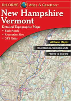
New Hampshire and Vermont DeLorme Atlas
Complete New Hampshire and Vermont Road Map
and Topographic Map Coverage
- Large 11" x 15.5" Pages
- Topo Maps with Back Roads
- 103 Pages of Maps
- 17 Pages of Attractions, Information and Places to Visit
- Scale: 1:100,000 (1" = 1.6 miles)
Some suggested ways to use this atlas are to:
- Find what fish species are caught in the Merrimack River
- Plan week of recreation at Conway Lake!
- Explore Mt. Washington kid-friendly activities
- Locate historic sites in Portsmouth
|
Ships right away by Priority Mail
A Sample Map From This Book
Some of the Map Symbols
 |
Attractions |
 |
Paddling |
 |
Campgrounds |
 |
Warmwater Fishing |
 |
Hunting |
 |
Hiking |
 |
State Lands |
 |
Scenic and Cultural Byways |
 |
Historic Sites/Museums |
 |
Downhill Skiing
|
 |
Golf Courses |
 |
Unique Natural Features |
This atlas also contains 17 pages of reference information for New Hampshire's public lands, golf courses, campgrounds, skiing, paddling, fishing, hunting, trails and scenic drives. This is no ordinary map. The DeLorme Atlas and Gazetteer is a collection of topographic maps, a recreation guide and travel planner in one handy book!