Makes a great gift!
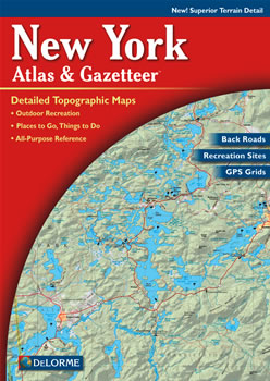
New York DeLorme Atlas
Complete New York Road Map and
Topographic Map Coverage
- Topo Maps with Back Roads
- 80 Pages of Maps
- 24 Pages of Attractions, Information and Places to Visit
- Scale: 1:150,000 (1" = 2.4 miles)
Some suggested ways to use this atlas are to:
|
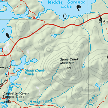
A Sample Map From This Book
Some of the Map Symbols
| Amusements | |
| Art Museums/Science Centers | |
| Beaches | |
| Bicycle Routes | |
| Hunting | |
| Excursions/Scenic Drives | |
| Parks/Forests | |
| Gardens | |
| Wineries | |
| Downhill Skiing | |
| Hiking | |
| Wildlife | |
This atlas also contains 24 pages of reference information for New York's recreation and points of interest. These include: amusements, spectator sports, gardens, historic sites, museums, wineries, golf courses, campgrounds, parks, bicycle routes, skiing, canoeing, hiking, hunting and fishing. This is not your ordinary map! The DeLorme Atlas and Gazetteer is a collection of topographic maps, a recreation guide and travel planner in one handy book.