Makes a great gift!
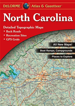
North Carolina DeLorme Atlas
Complete North Carolina Road Map and
Topographic Map Coverage
- Topo Maps with Back Roads
- 78 Pages of Maps
- 10 Pages of Attractions, Information and Places to Visit
- Scale: 1:160,000 (1" = 2.5 miles)
This great atlas can help you to:
|
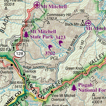
A Sample Map From This Book
Some of the Map Symbols
| Campgrounds | |
| Family Outings | |
| Fishing | |
| Fishing Pier | |
| Hunting | |
| Outdoor Adventures | |
| Recreation Areas | |
| Unique Natural Features | |
| Boat Launch Site | |
| Golf Course | |
| Lighthouse | |
| Information Center | |
The detailed maps in this atlas show physical features, such as forests, mountains, lakes, rivers, creeks, swamps, sounds, bays and islands. Other features include roads, highways, interstates, parks, wildlife refuges, cities and towns. State-wide topographic information is shown by contour lines with intervals of 20 feet or 200 feet, depending on the terrain. This DeLorme Atlas and Gazetteer is a topographic map collection, a travel guide and activity planner conveniently organized in one book!