Makes a great gift!
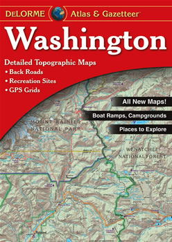
Washington DeLorme Atlas
Complete Washington Road Map and
Topographic Map Coverage
- Topo Maps with Back Roads
- 90 Pages of Maps
- 14 Pages of Attractions, Information and Places to Visit
- Scale: 1:160,000 (1" = 2.5 miles)
Some suggested ways to use this atlas are to:
|
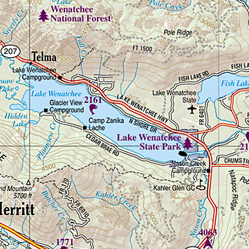
A Sample Map From This Book
Some of the Map Symbols
| Outdoor Adventures | |
| Family Outings | |
| Campgrounds | |
| Recreation Areas | |
| Hunting | |
| Fishing | |
| Unique Natural Features | |
| Golf Courses | |
| Lighthouses | |
| Boat Launch Site - Non-restricted | |
| Boat Launch site - Restricted | |
| Information Center | |
This atlas also contains 14 pages of reference information including: gardens, historic sites, museums, wineries, golf courses, campgrounds, parks, bicycle routes, skiing, canoeing, hiking, hunting and fishing. This is not your ordinary map! The DeLorme Atlas and Gazetteer is a collection of topographic maps, a recreation guide and travel planner brought together in one handy book.