|
Advertising
Categories
From Our Store
Map Collections
|
Home »
Satellite Images » World Cities
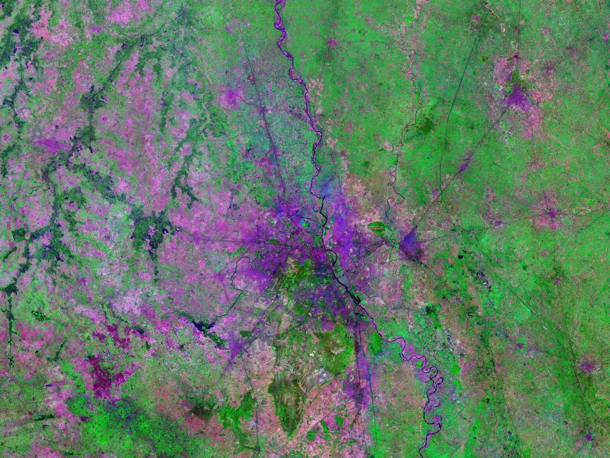
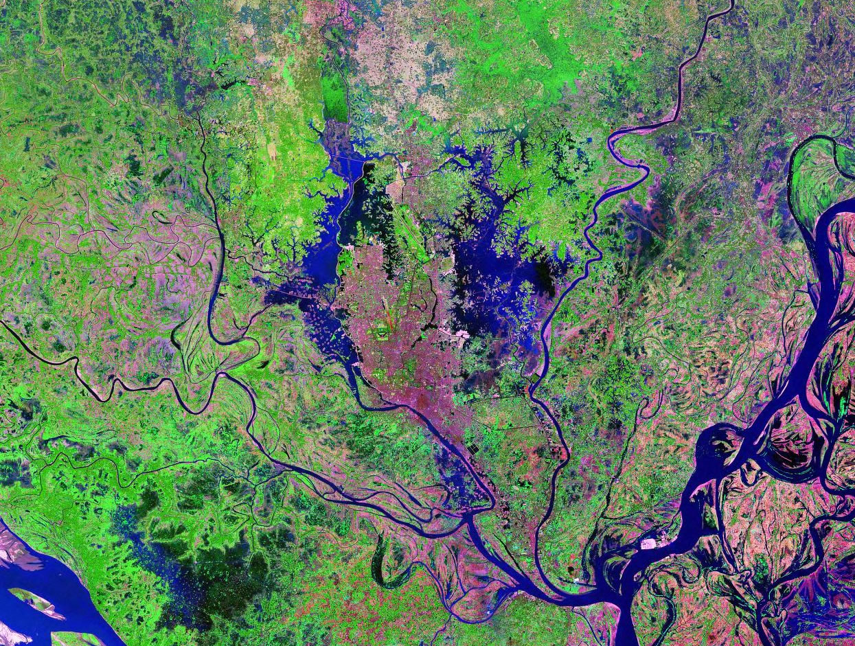
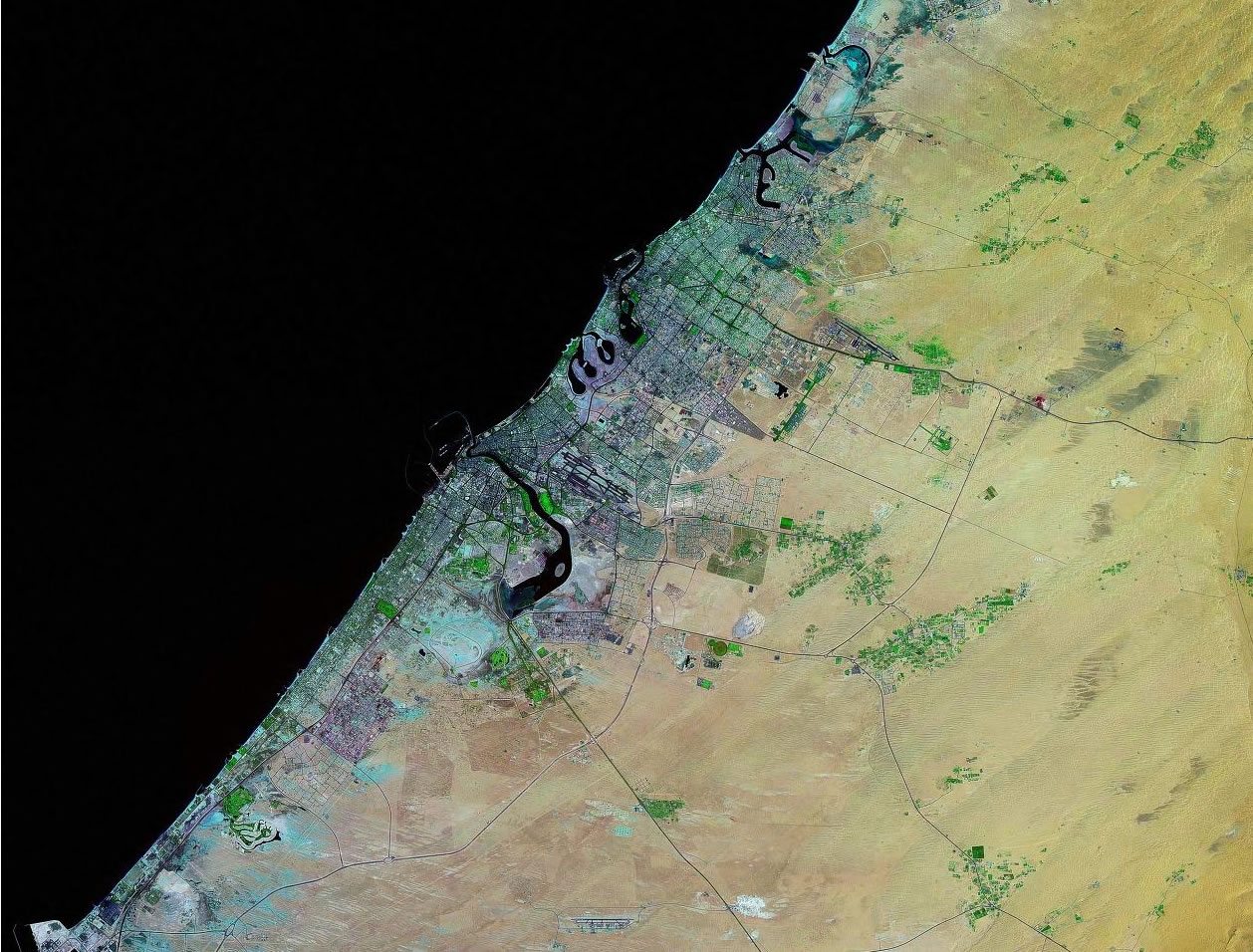
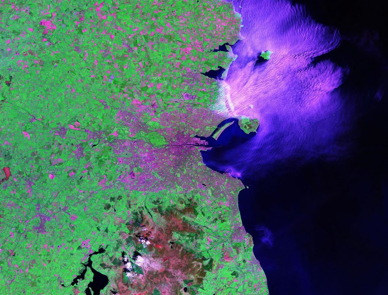
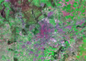
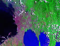
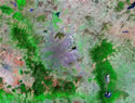
Satellite Images of World Cities - Landsat GeoCover

|
|
|
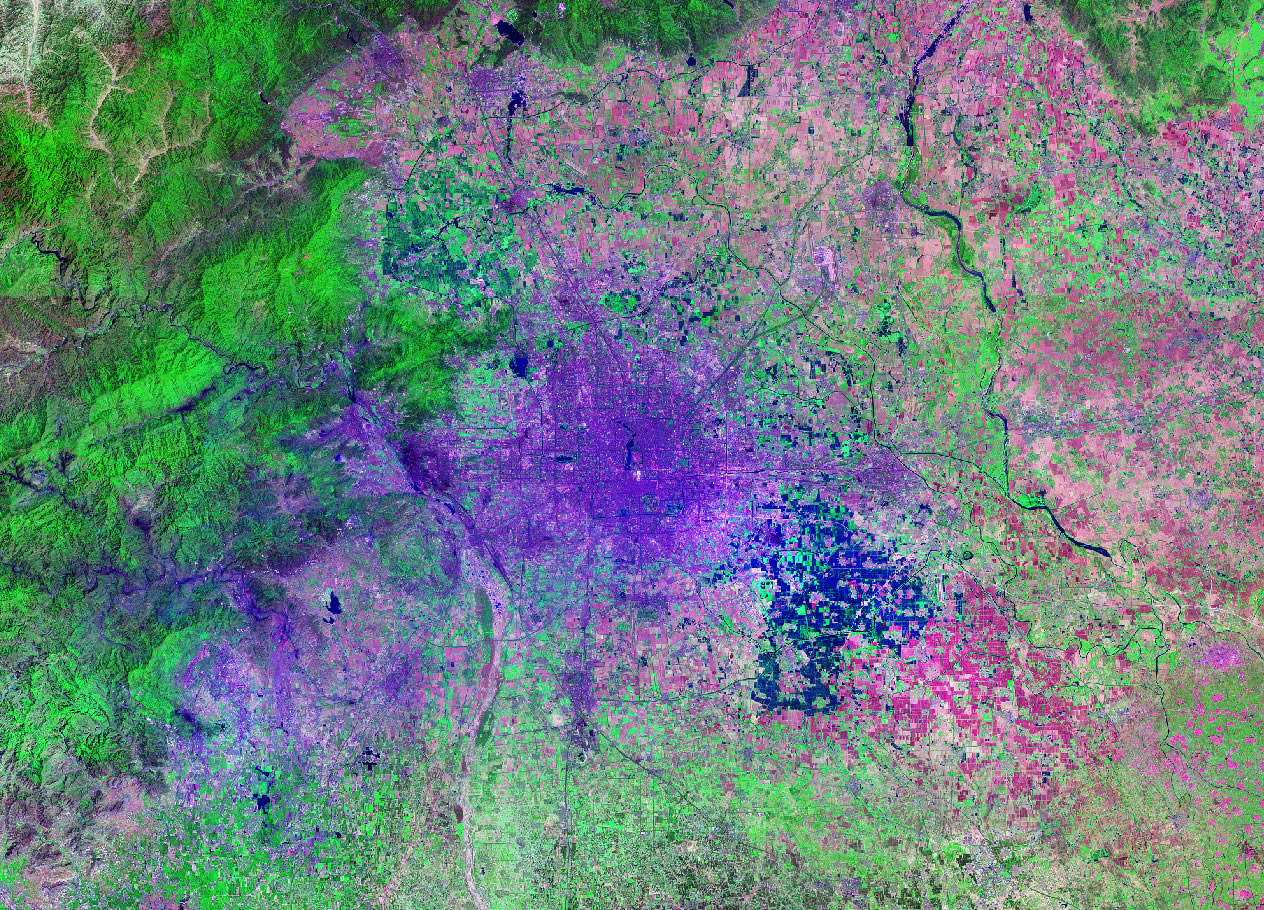
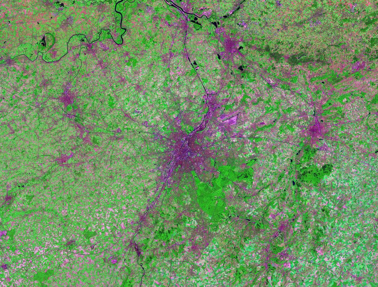
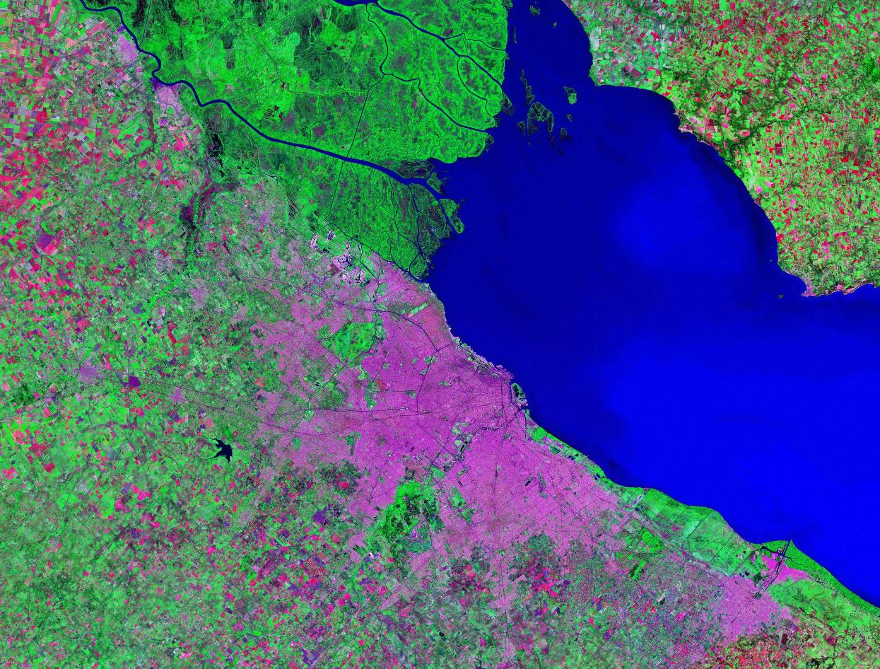
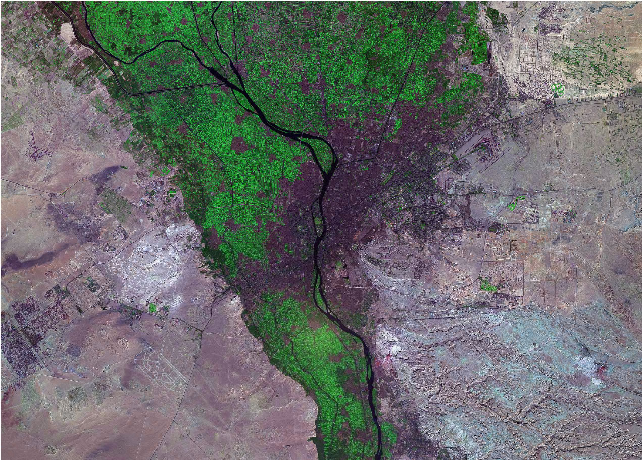
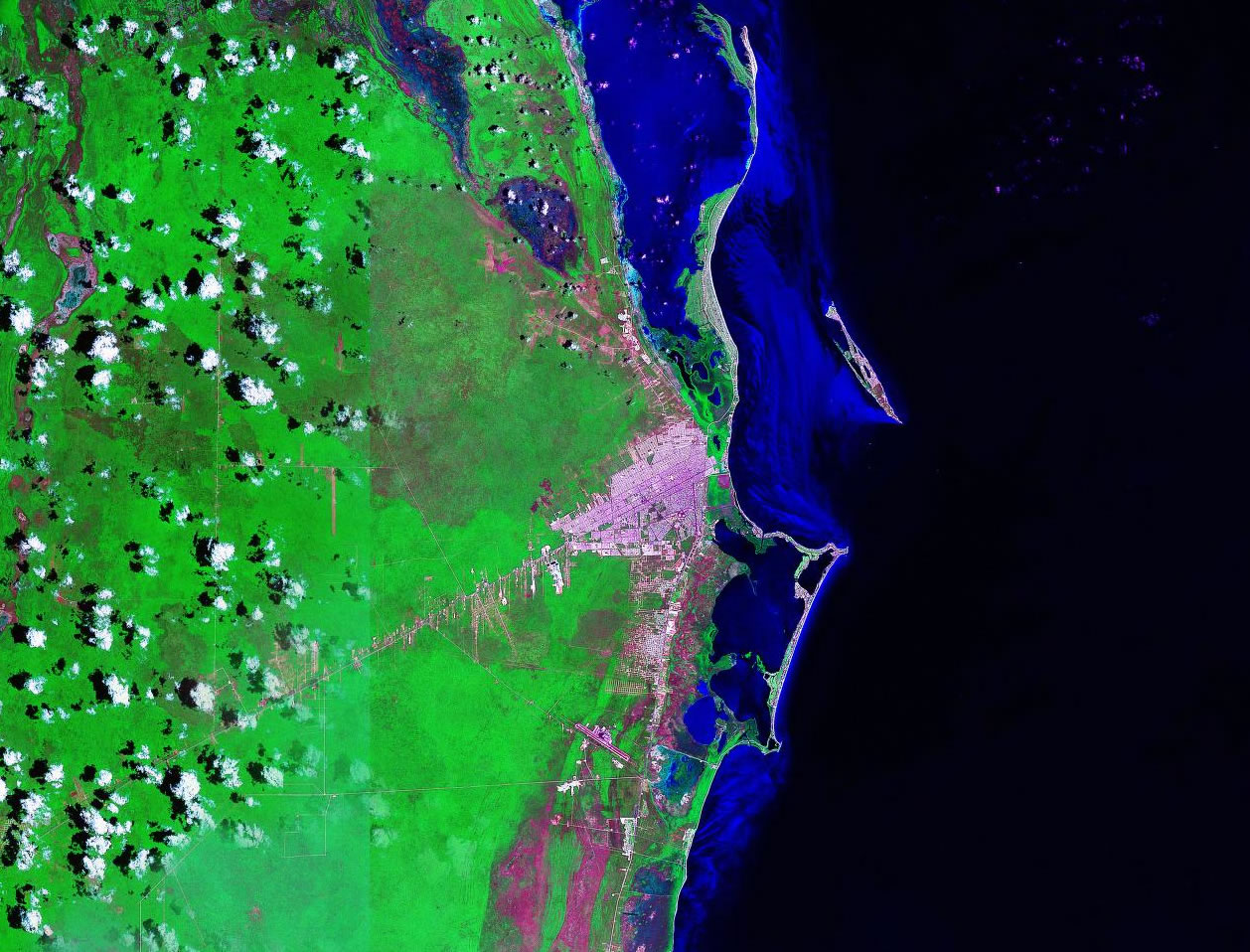
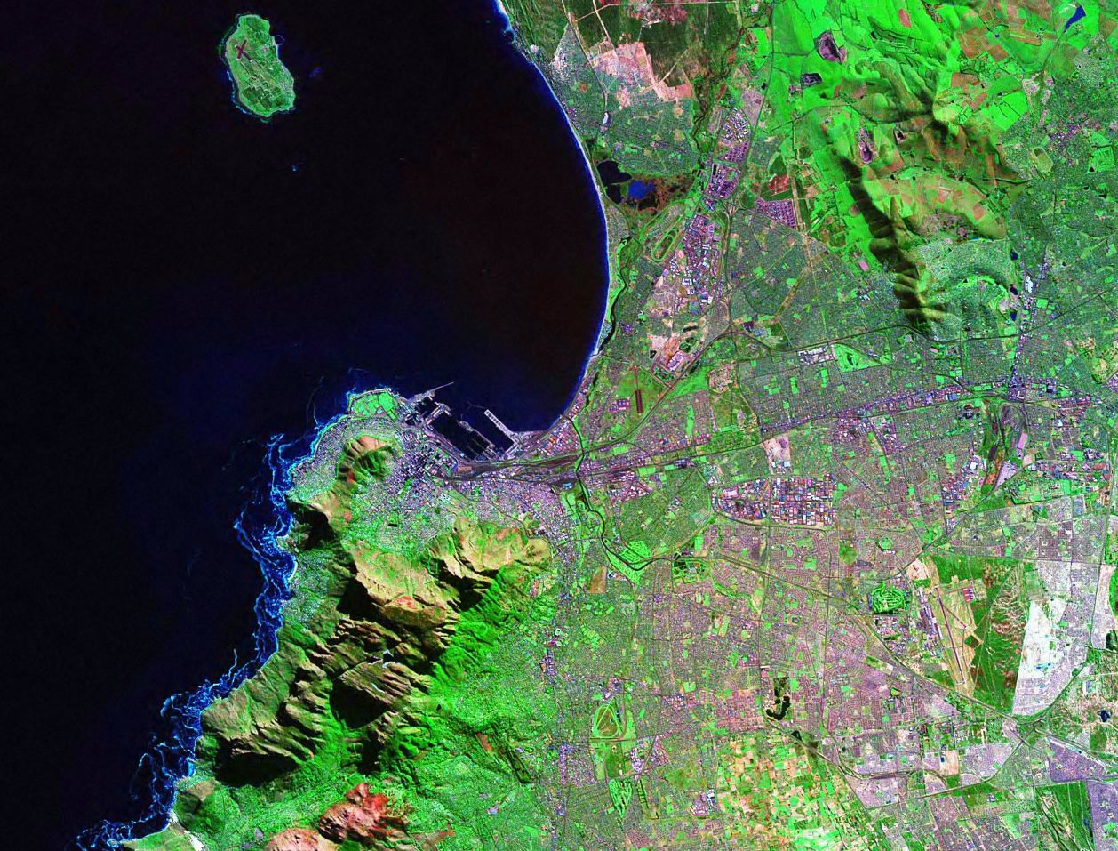
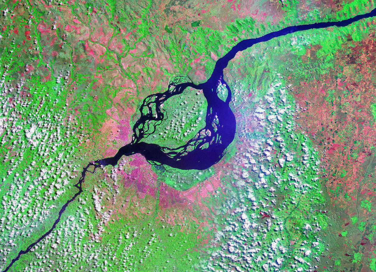
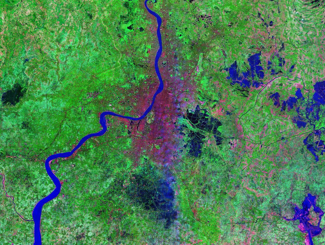
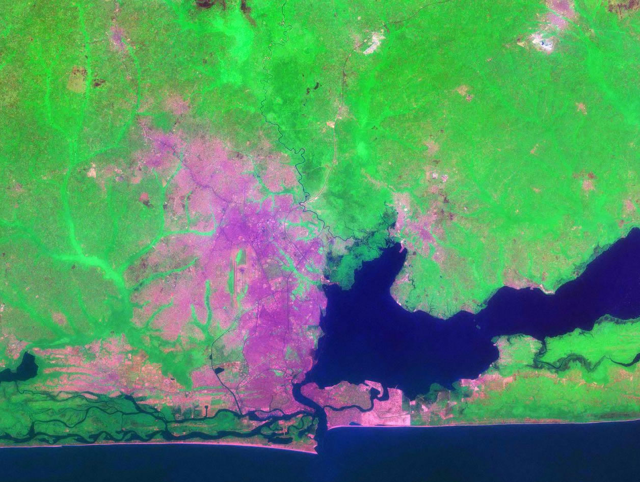
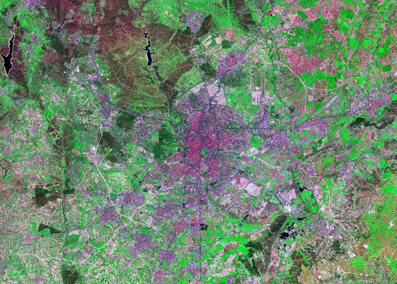
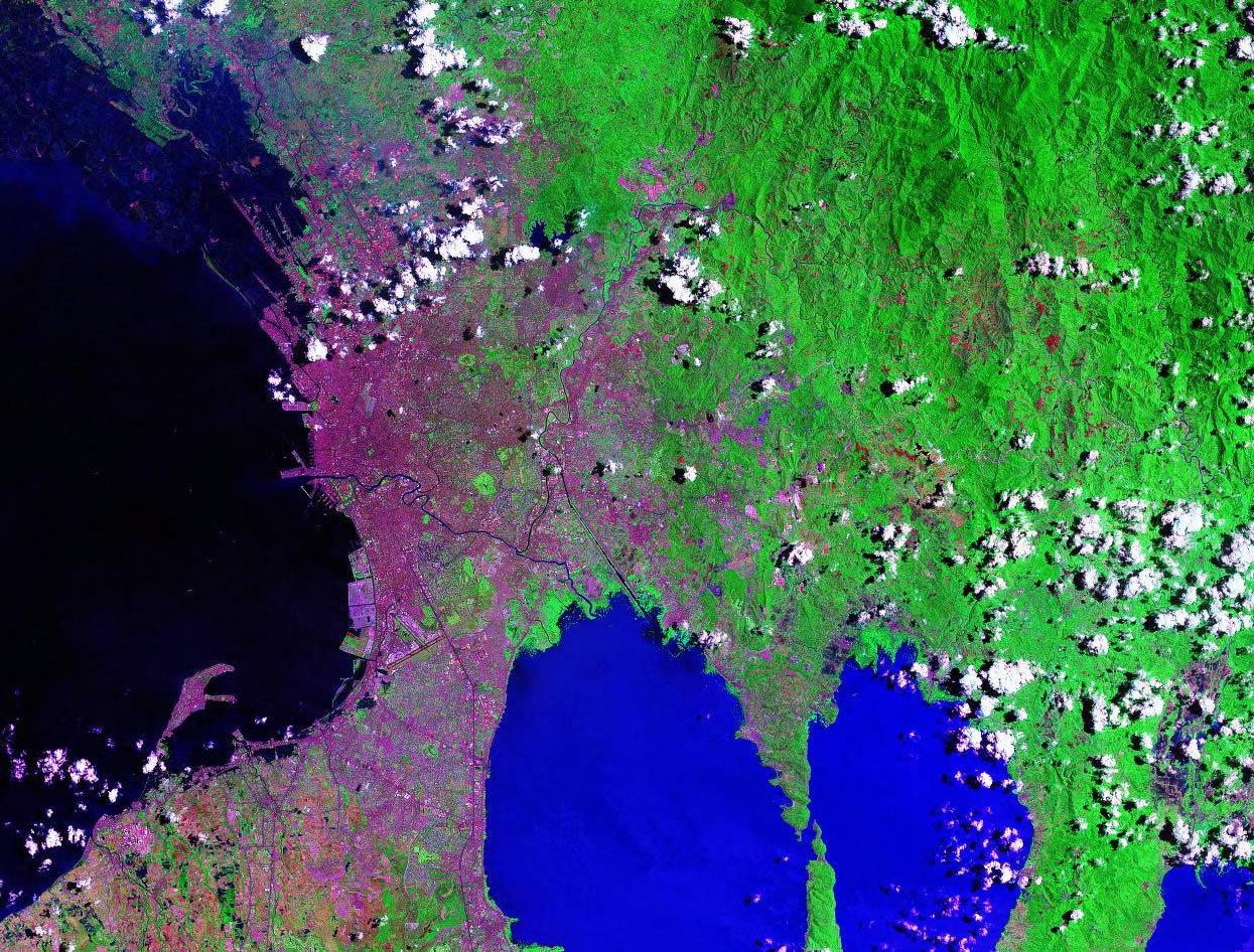
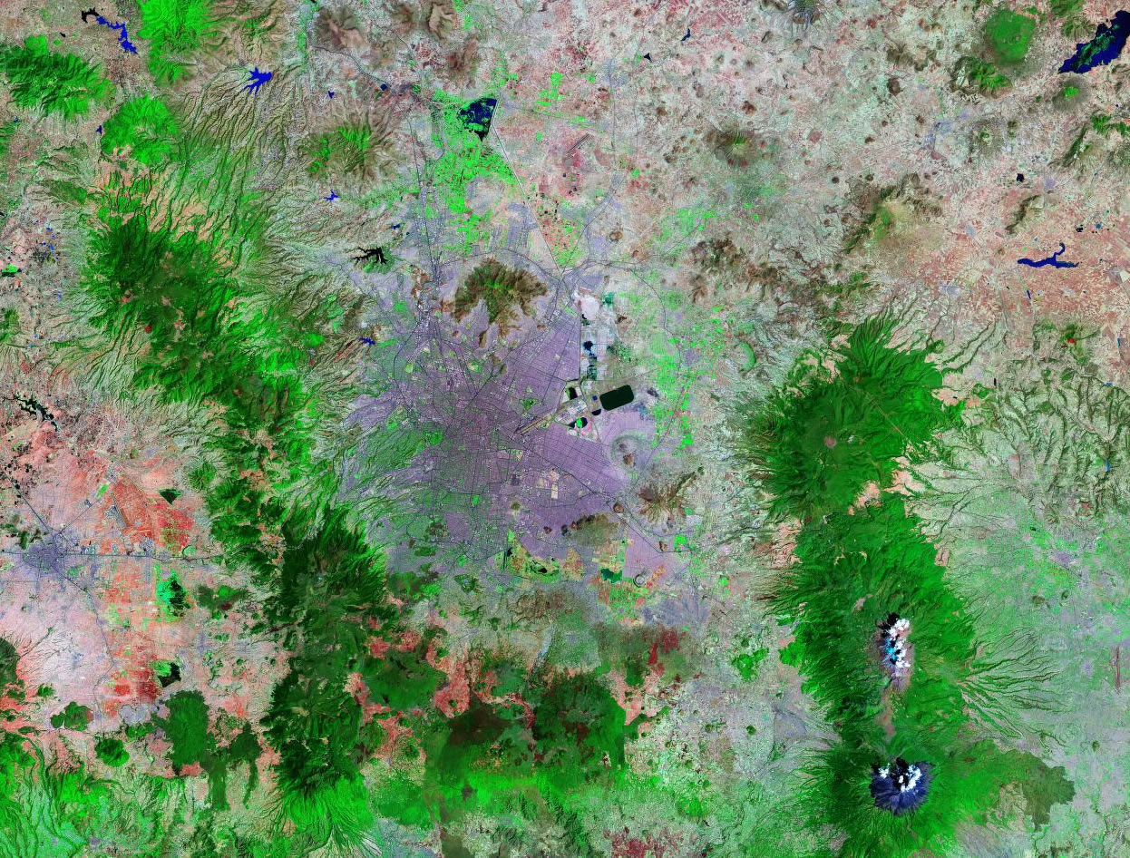
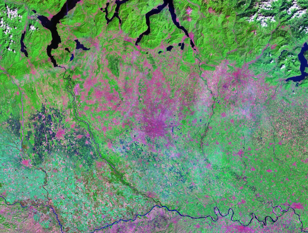
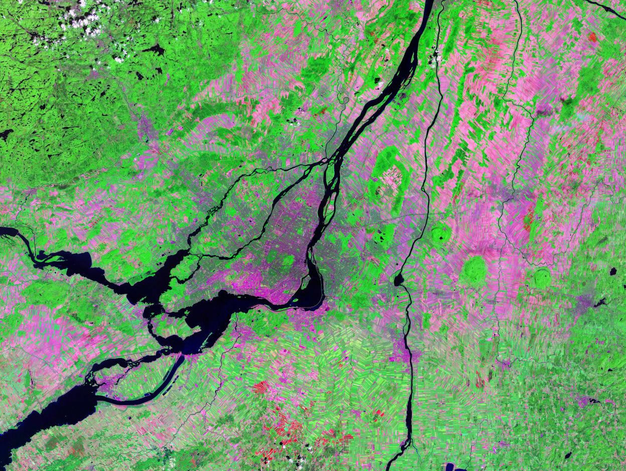
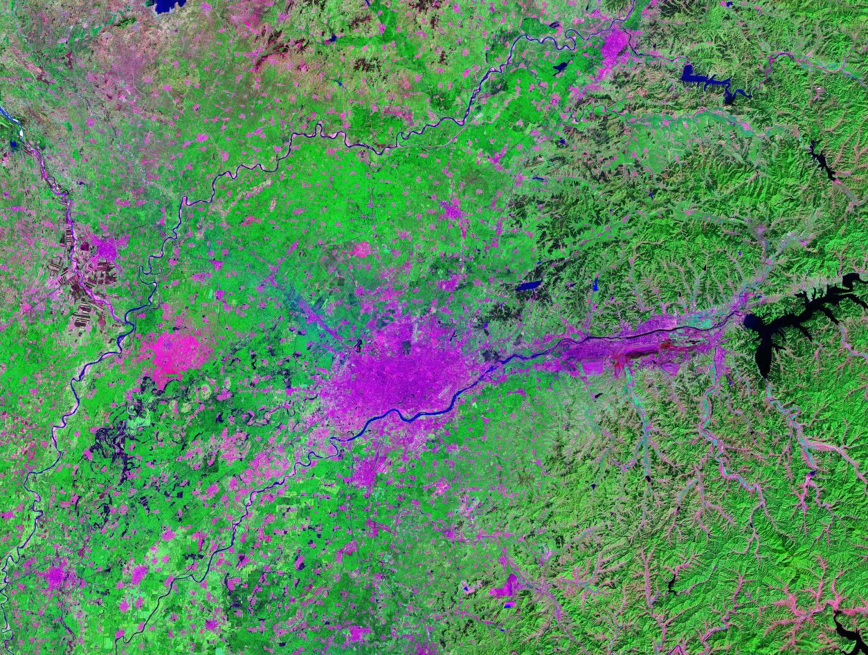
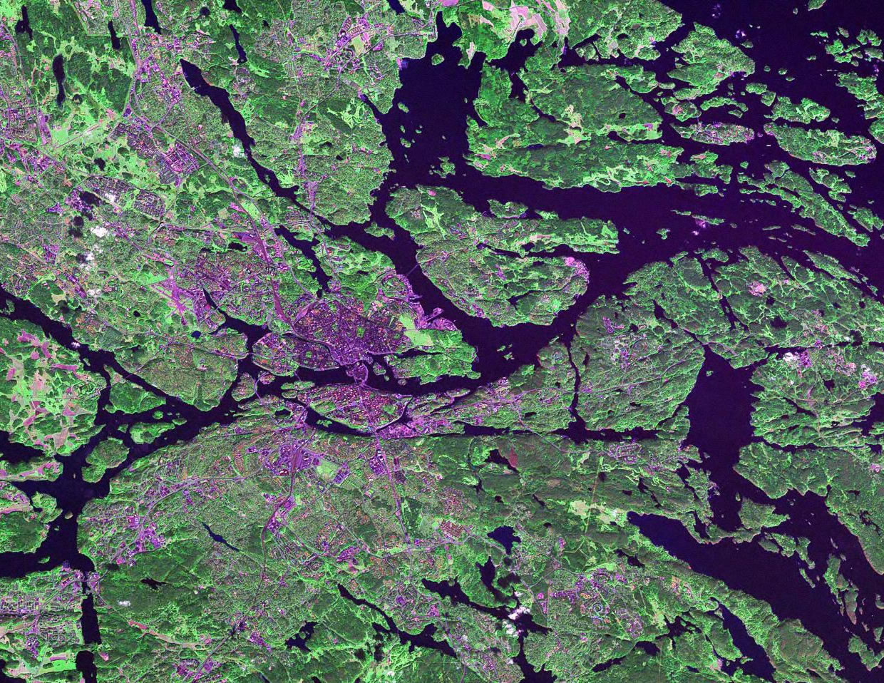
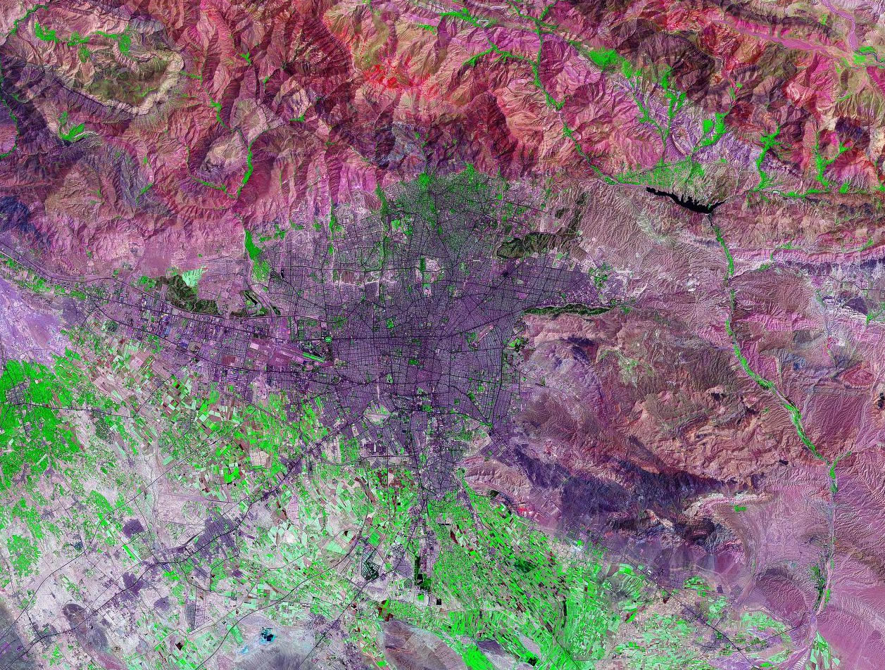
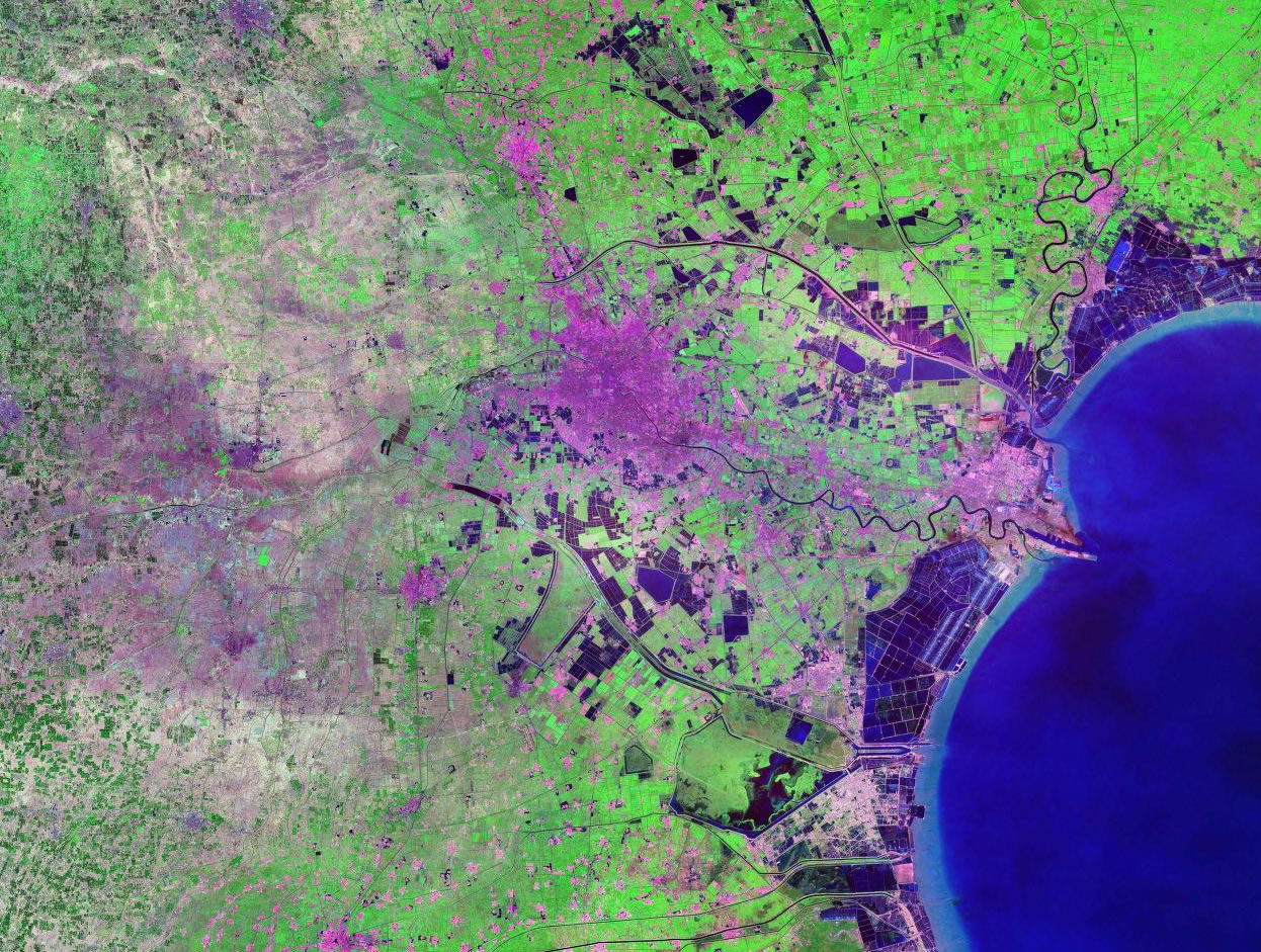
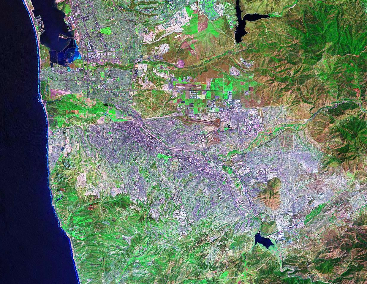
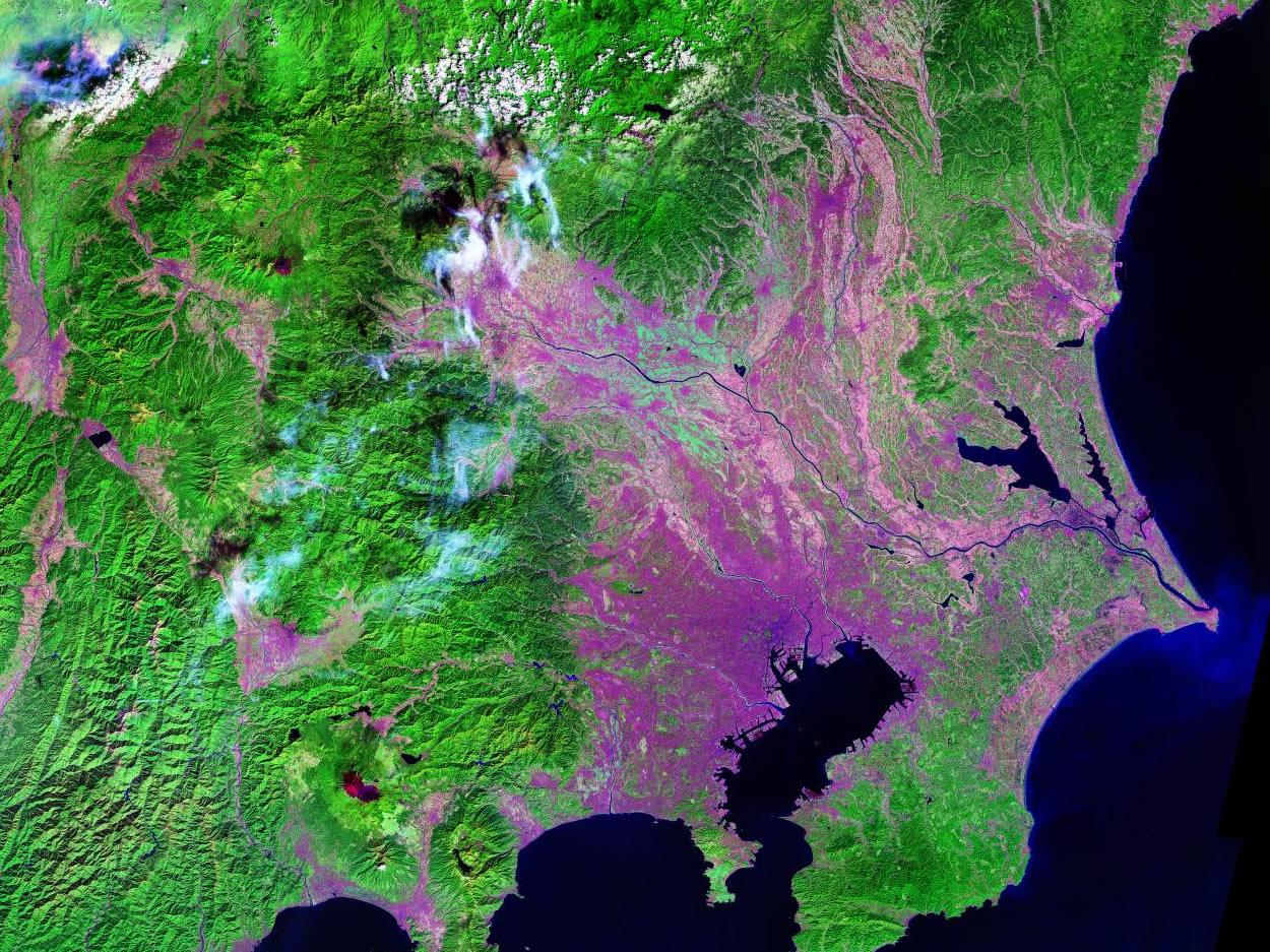
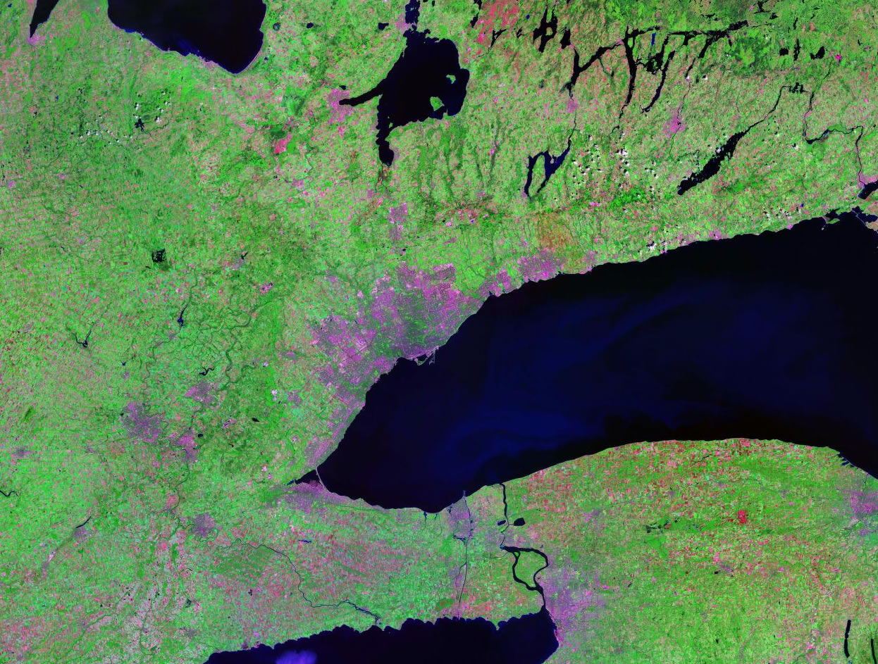
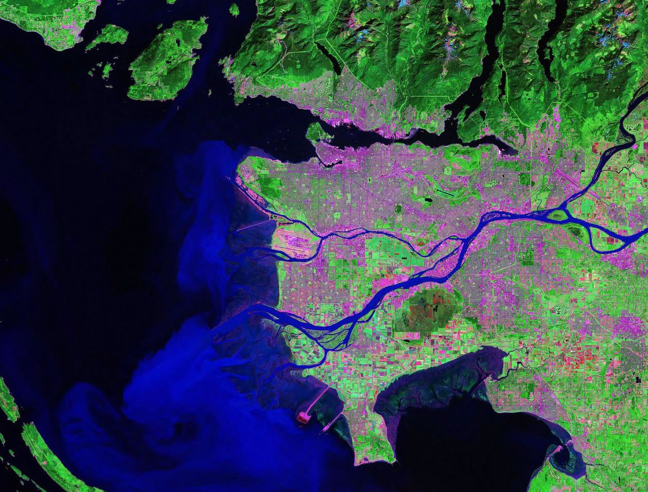
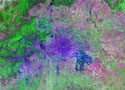
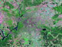
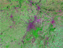
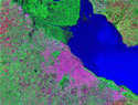
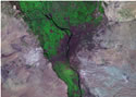
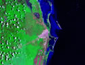
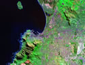
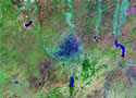
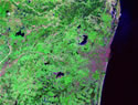
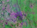
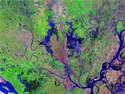
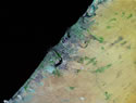
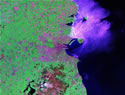
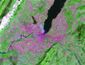
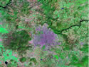
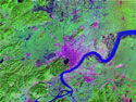
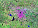
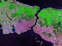
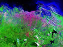
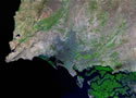
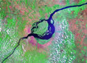
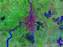
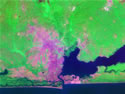
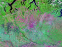
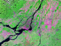
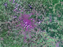
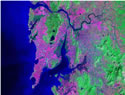
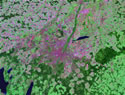
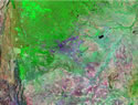
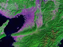
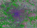
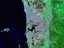
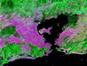
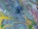
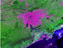
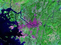
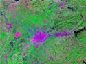
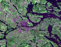
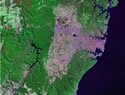
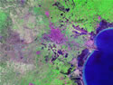
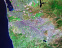
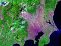
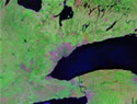
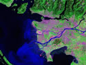
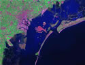
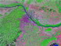
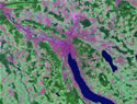
Click on a thumbnail below to see a Landsat
image of that city. These images are compiled using NASA's GeoCover data collected
during Calendar Year 1999. We have selected and scaled
them to show the city and its surrounding environment in an
artistic view. (Note: images shown below differ in scale.)
|
|
|
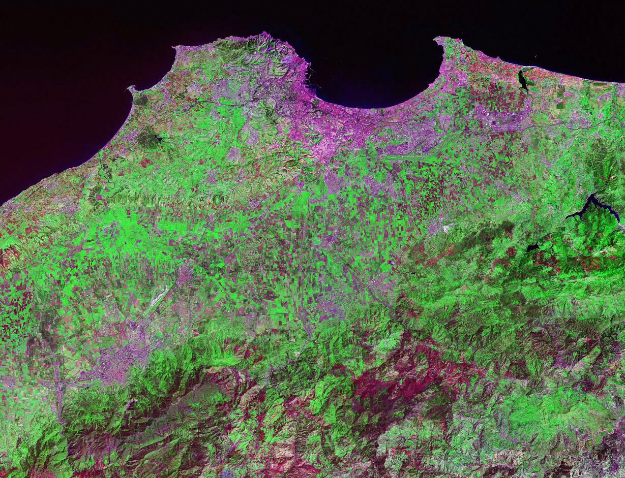
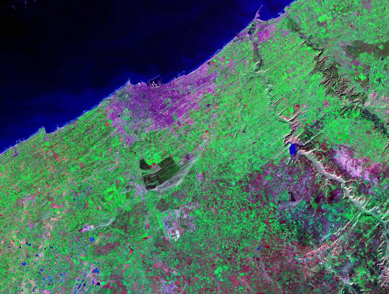
 Algiers, Algeria Algiers, Algeria |
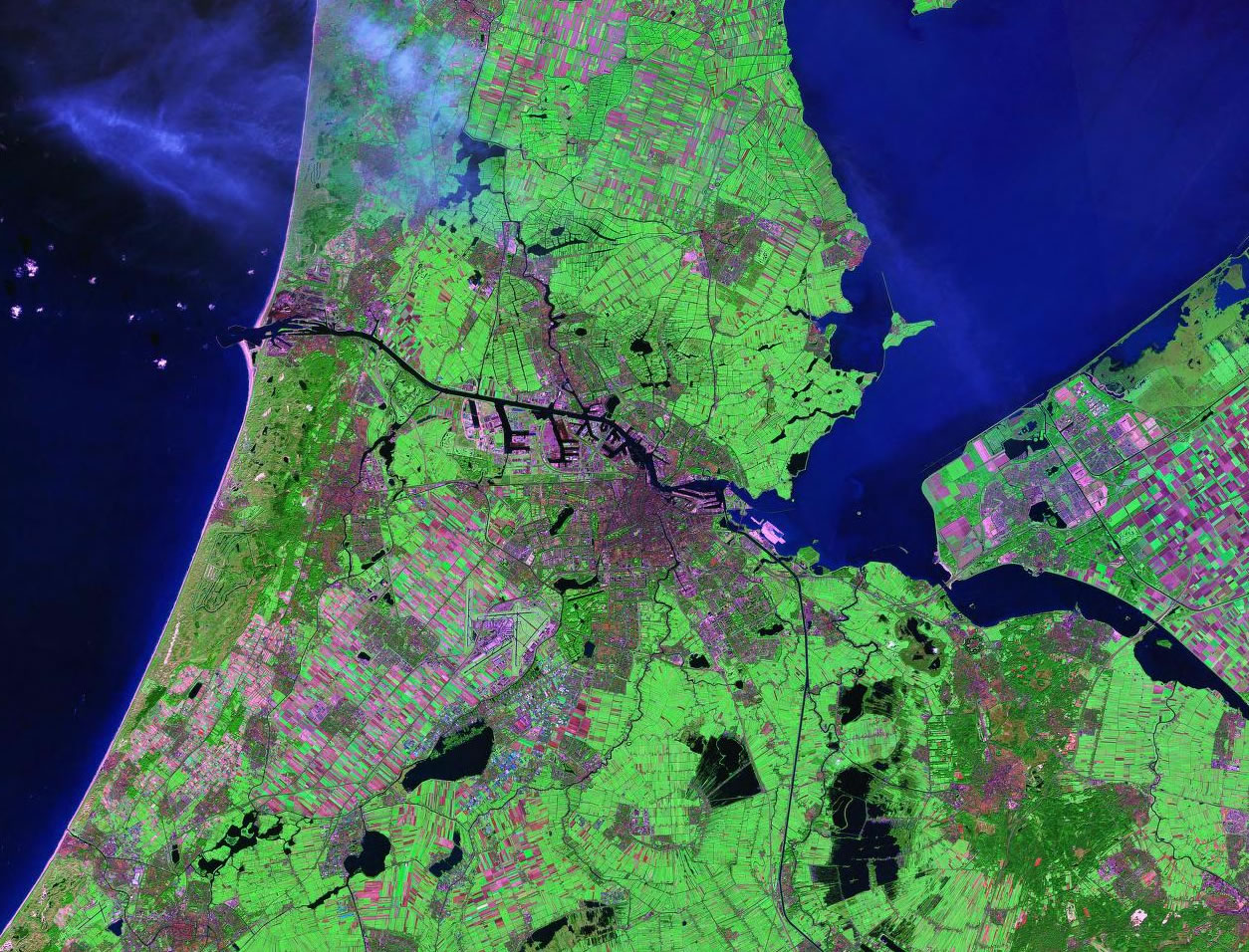
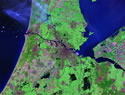 Amsterdam, Neth. Amsterdam, Neth. |
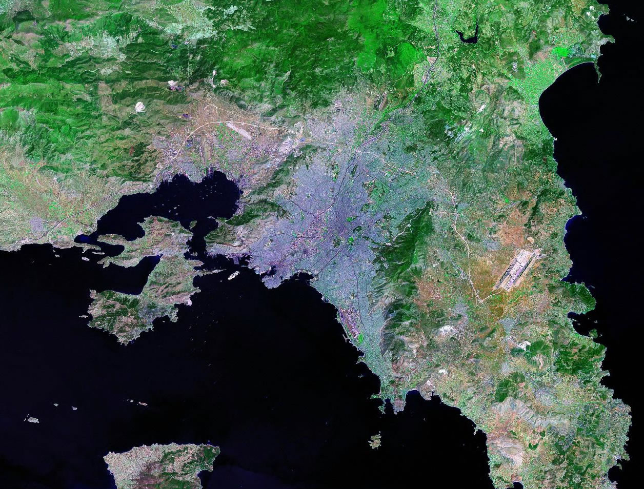
Athens, Greece |
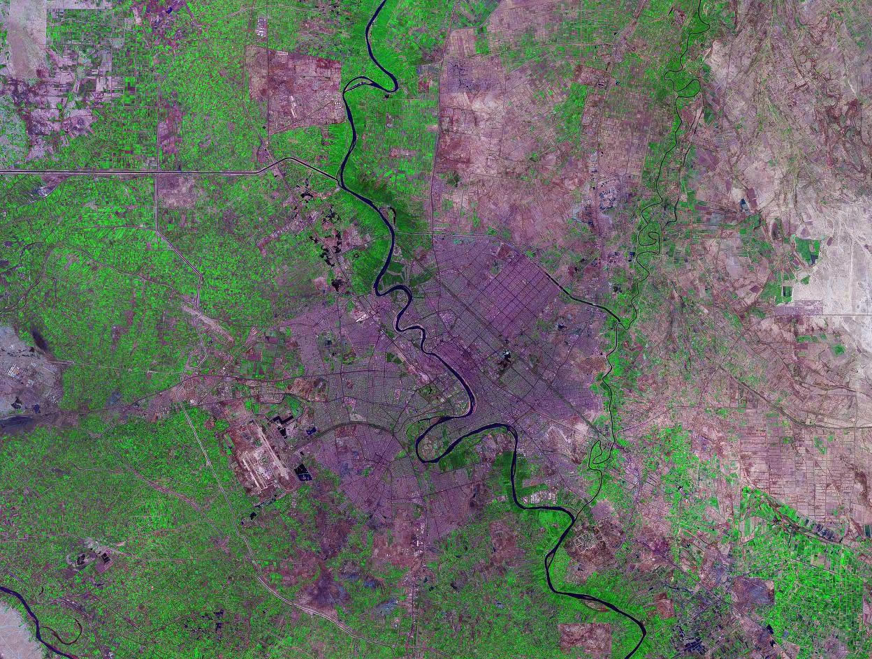
Baghdad, Iraq |
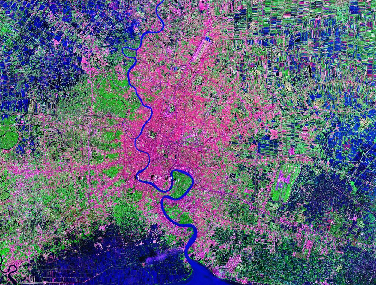
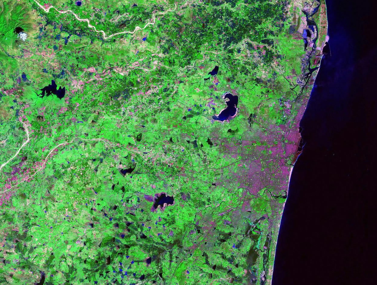
 Bangkok, Thailand Bangkok, Thailand |
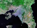
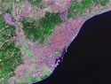 Barcelona, Spain Barcelona, Spain |
 Beijing, China Beijing, China |
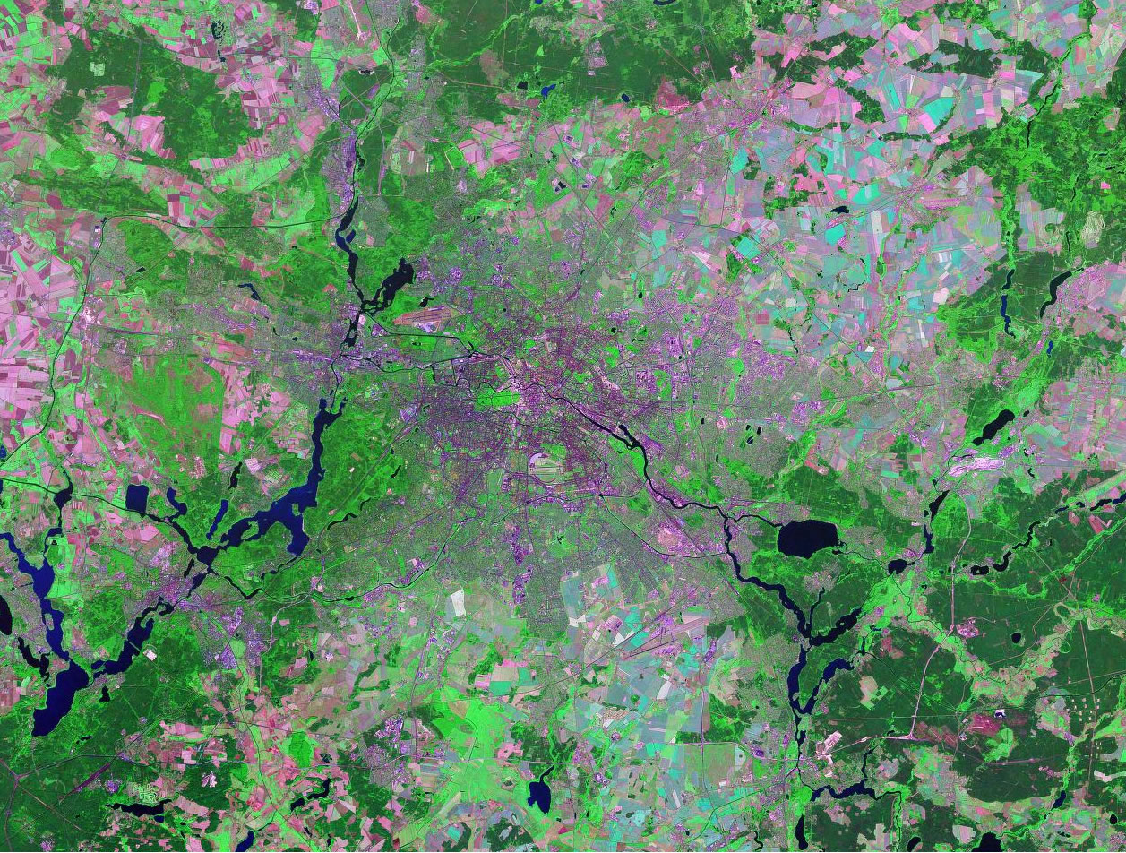
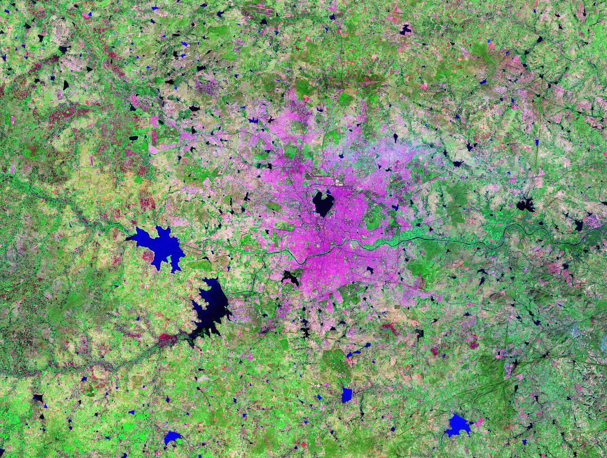
Berlin, Germany |
 Brussels, Belgium Brussels, Belgium |
 Buenos Aires, Arg. Buenos Aires, Arg. |
Cairo, Egypt |
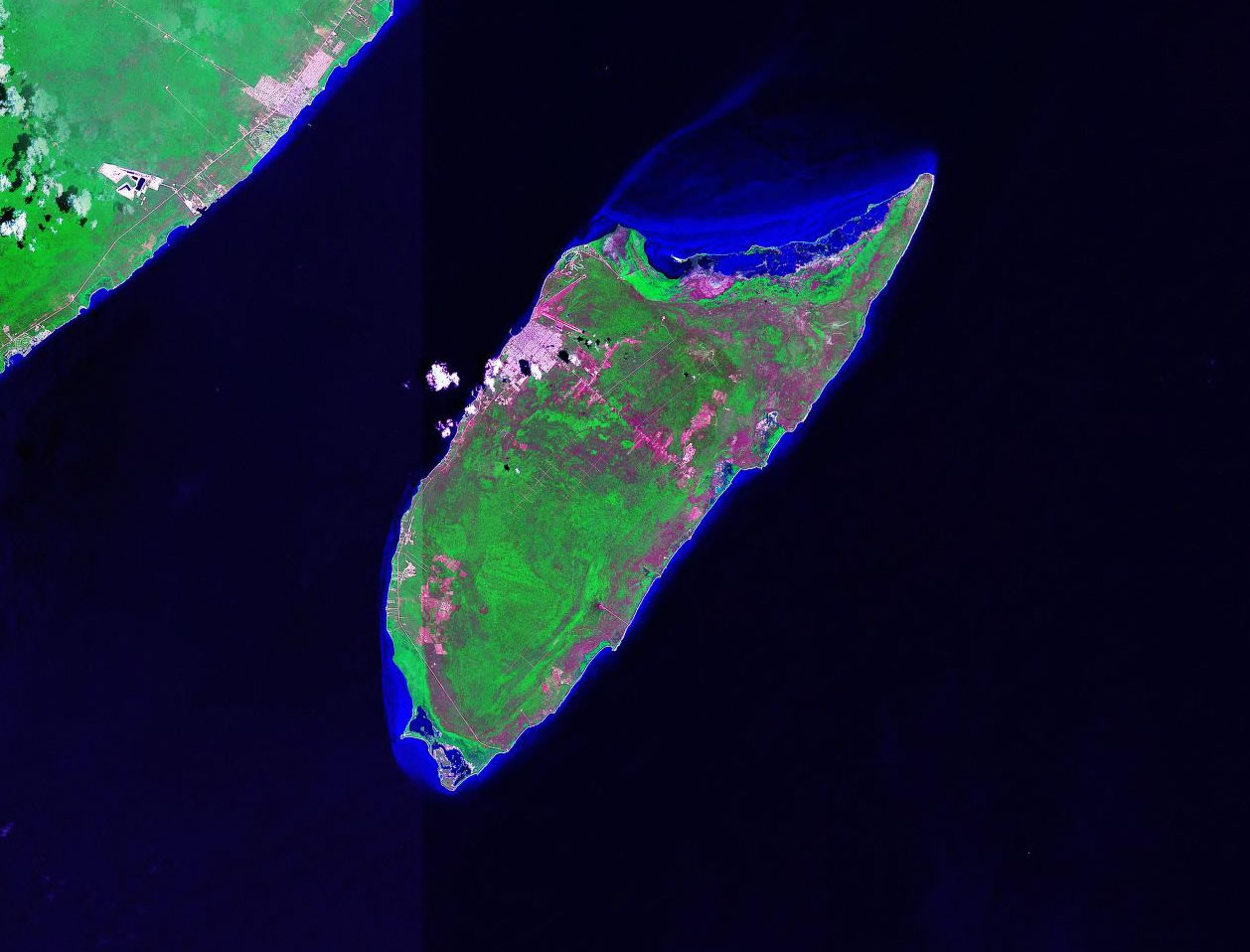
 Cancun, Mexico Cancun, Mexico |
 Cape Town, S. Africa Cape Town, S. Africa |

Casablanca, Morocco |
 Changchun, China Changchun, China |
 Chennai, India Chennai, India |

Cozumel, Mexico |
 Delhi, India Delhi, India |
Dhaka, Bangladesh |
Dubai, U. A. E. |
Dublin, Ireland |
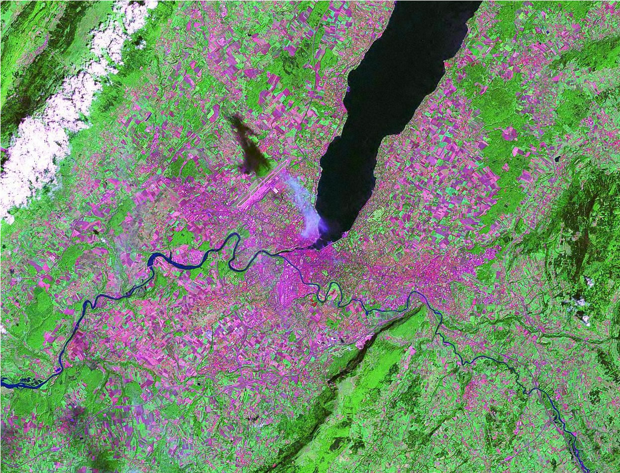
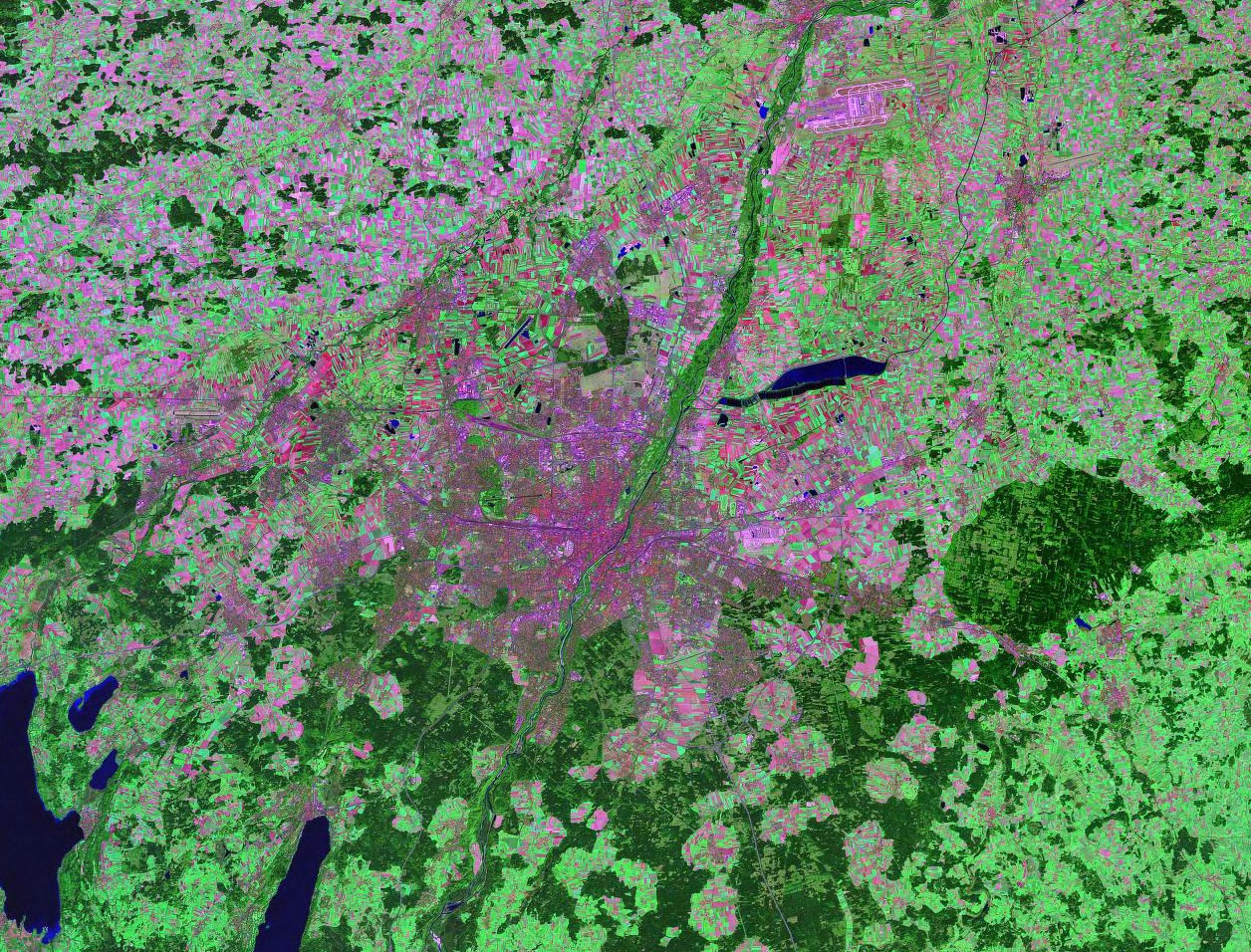
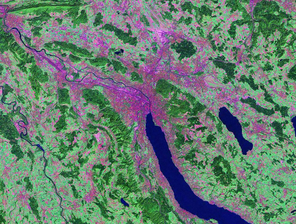
Geneva, Switzerland |
Guadalajara, Mexico |
 Hangzhou, China Hangzhou, China |
 Hyderabad, India Hyderabad, India |
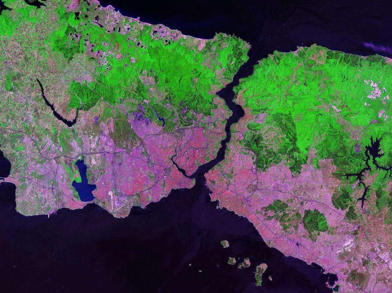
Istanbul, Turkey |
 Jakarta, Indonesia Jakarta, Indonesia |
Karachi, Pakistan |
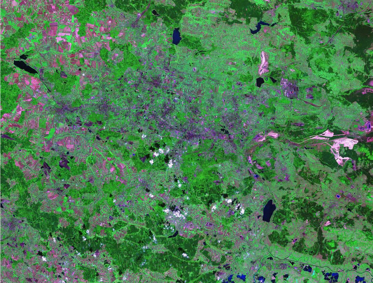
 Katowice, Poland Katowice, Poland |
Kinshasa, D.R. Congo |
 Kolkata, India Kolkata, India |
 Lagos, Nigeria Lagos, Nigeria |
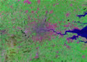 London, U.K. London, U.K. |
Madrid, Spain |
 Manila, Philippines Manila, Philippines |
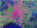
 Mexico City, Mexico Mexico City, Mexico |
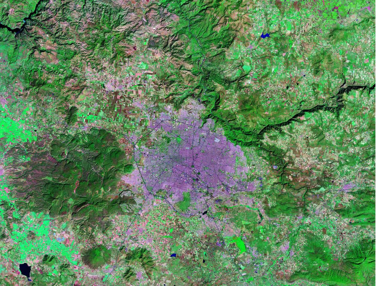
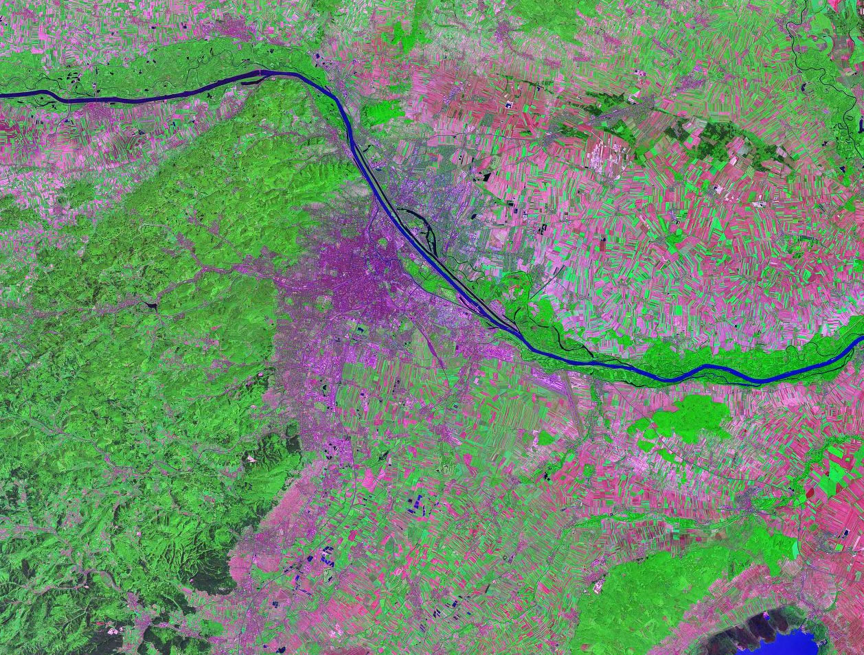
Milan, Italy |
 Montreal, Canada Montreal, Canada |
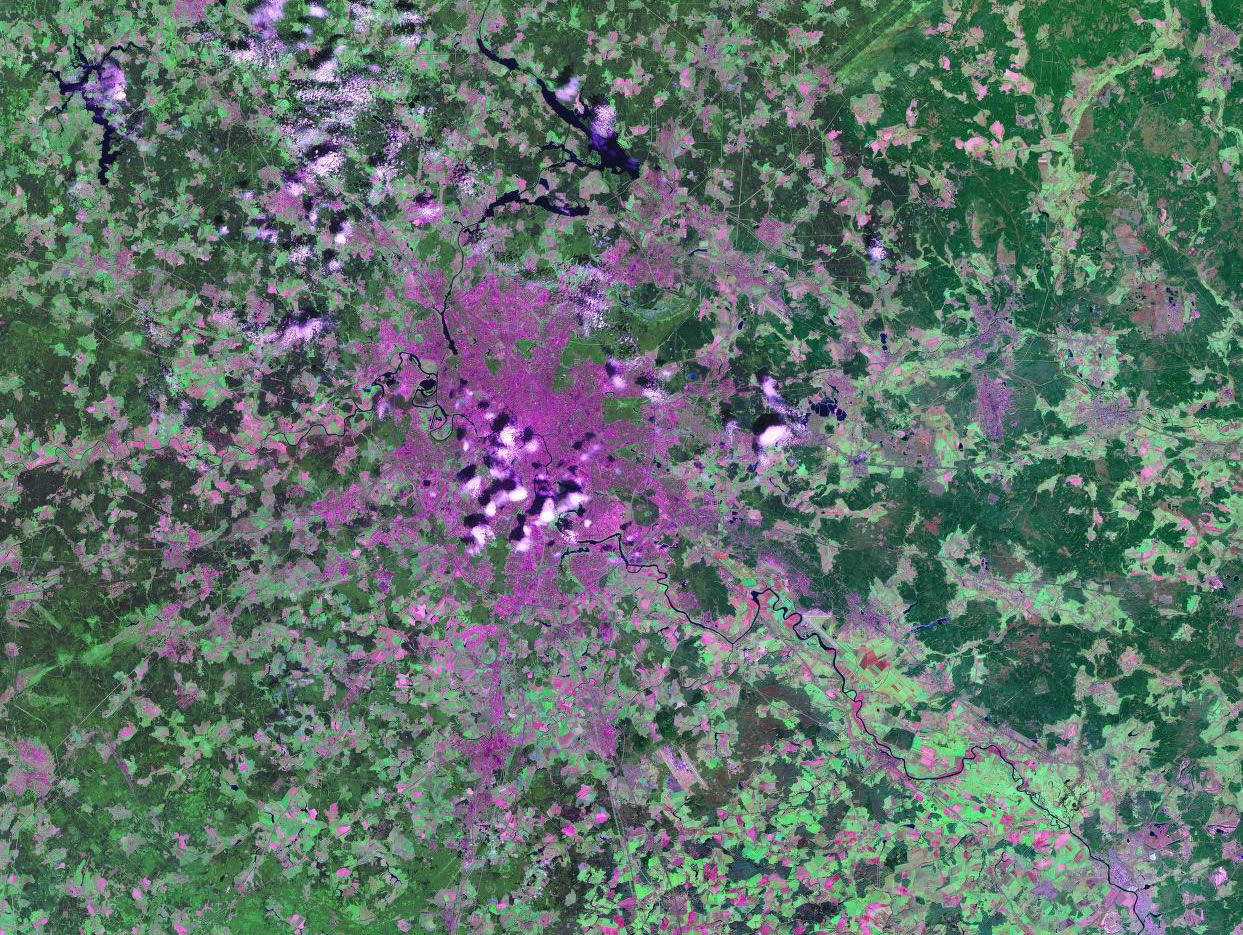
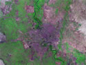
 Moscow, Russia Moscow, Russia |
 Mumbai, India Mumbai, India |
 Munich, Germany Munich, Germany |
Nairobi, Kenya |
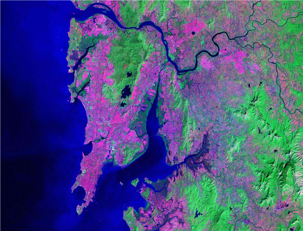
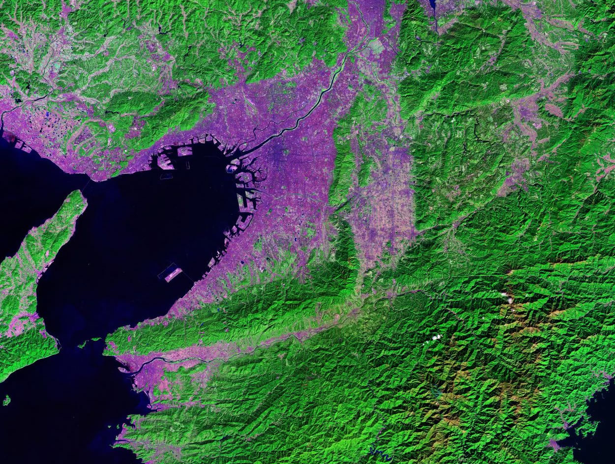
 Osaka, Japan Osaka, Japan |
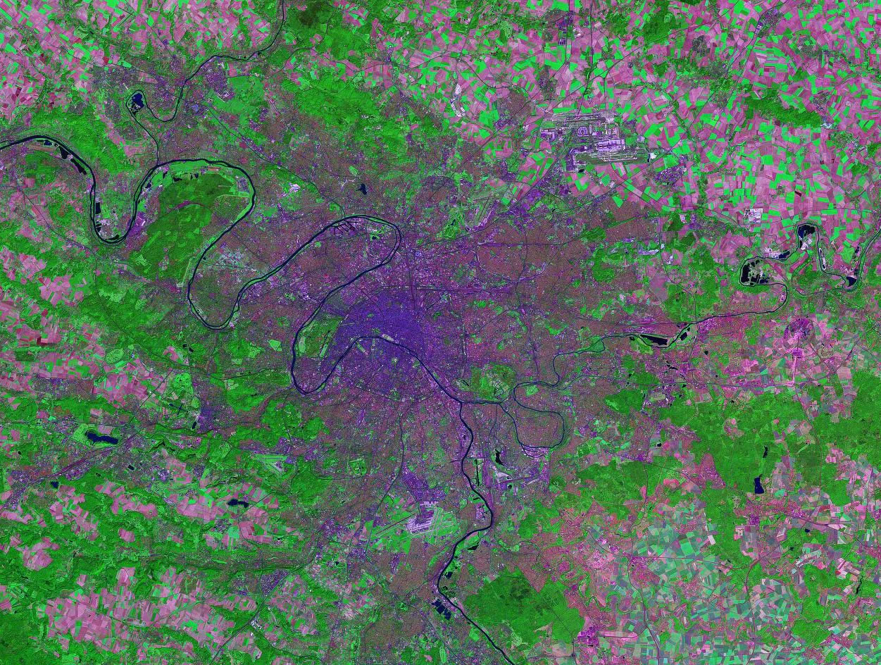
 Paris, France Paris, France |
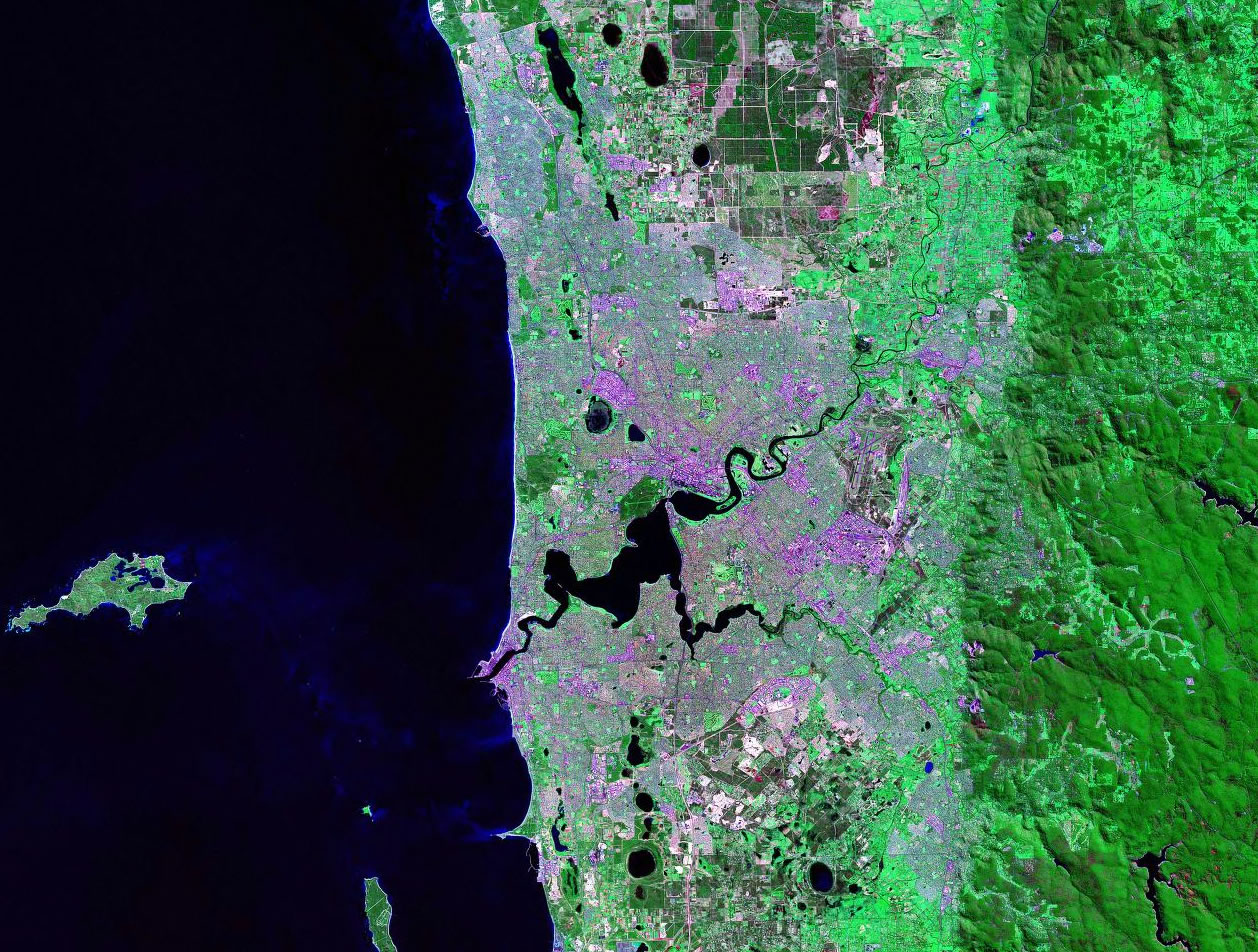
Perth, Australia |
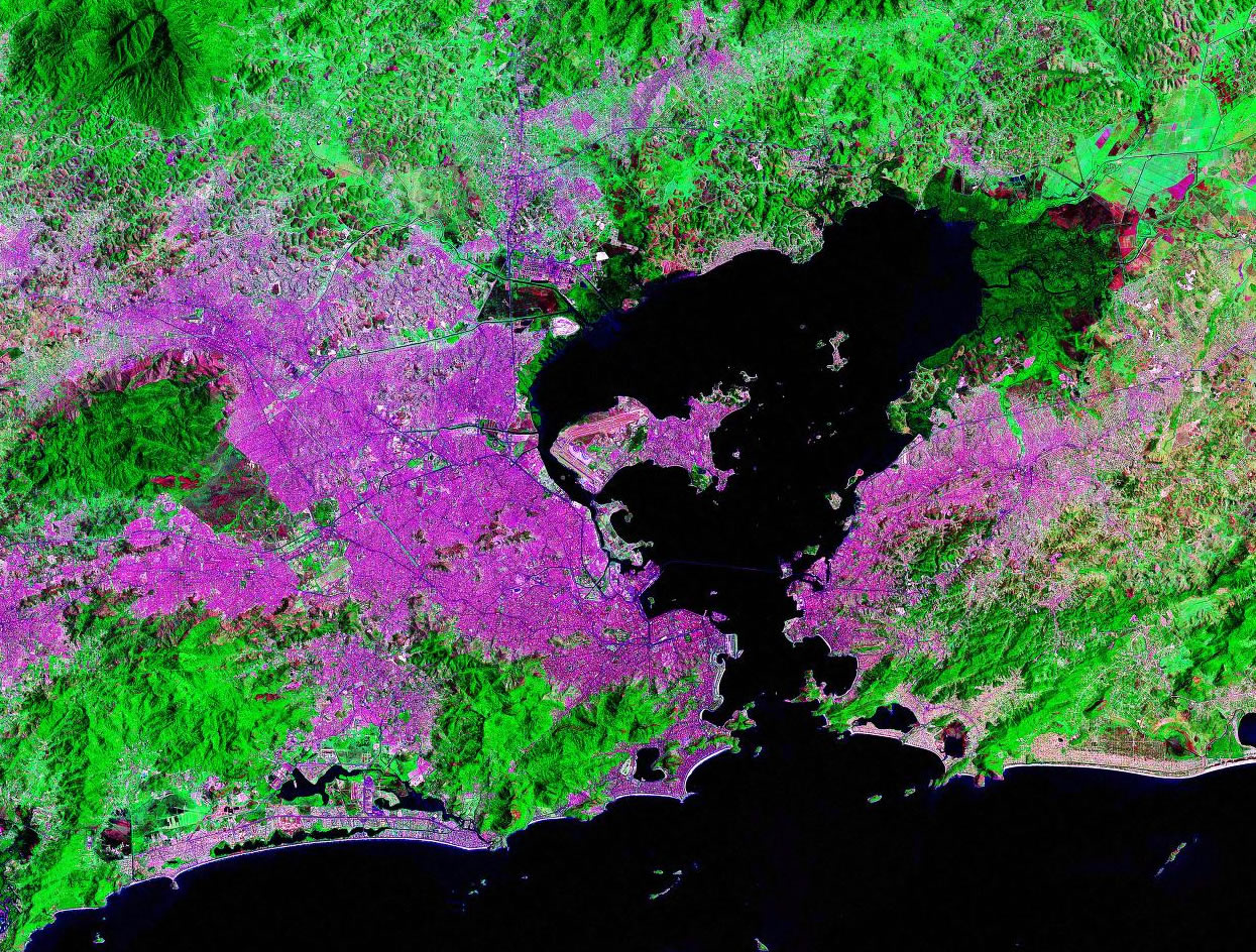
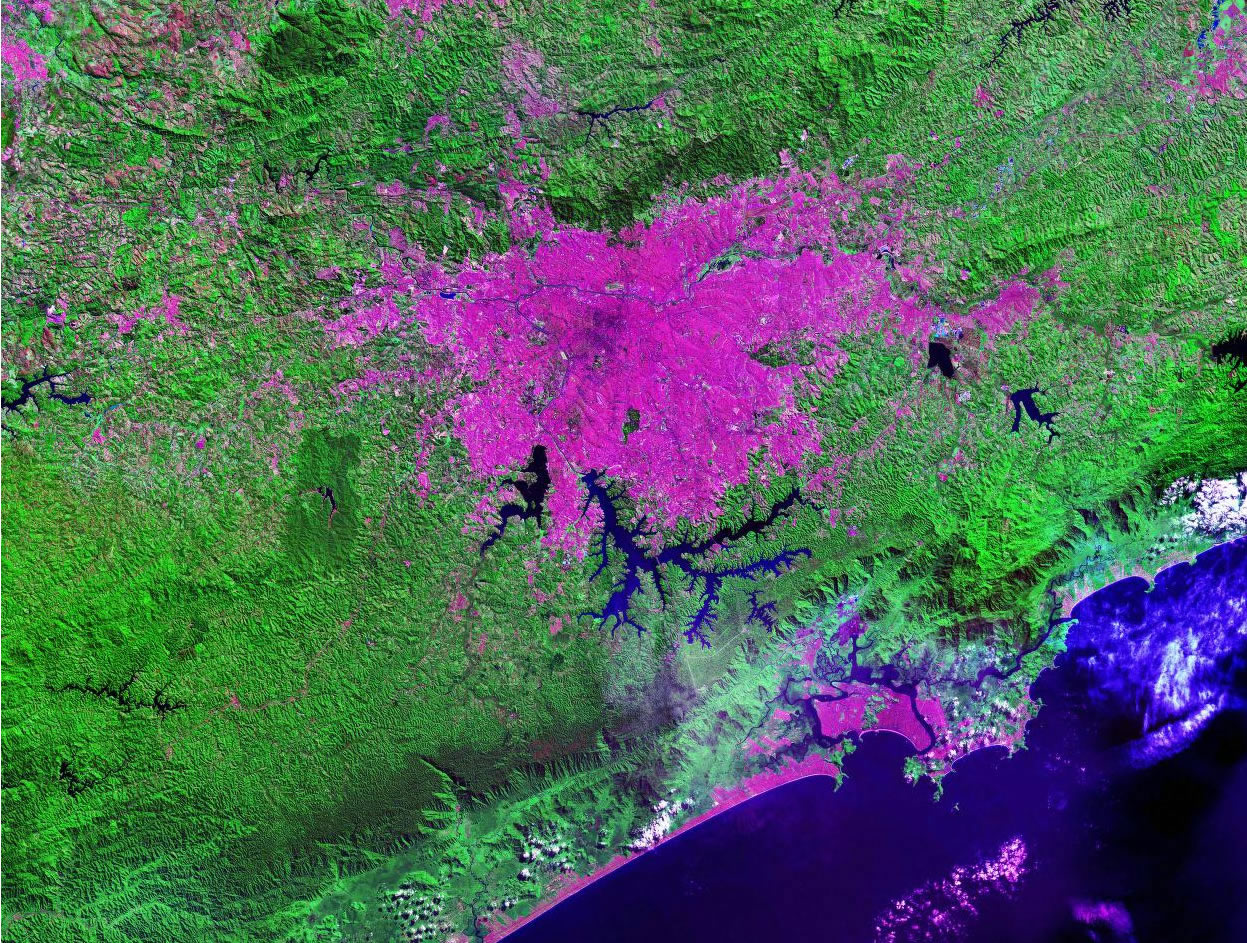
Rio de Janeiro, Brazil |
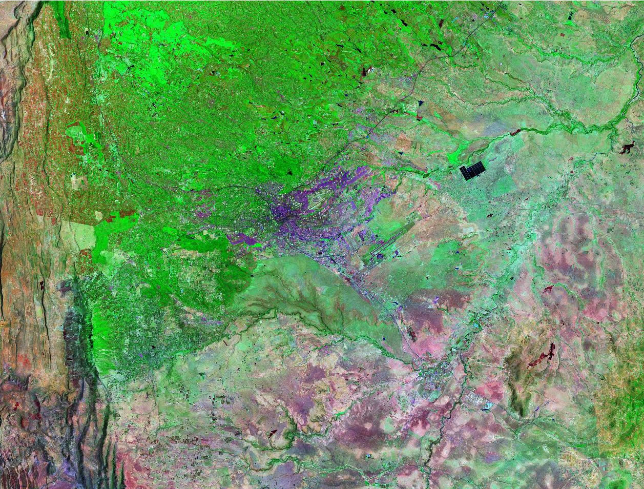
Riyadh, Saudi Arabia |
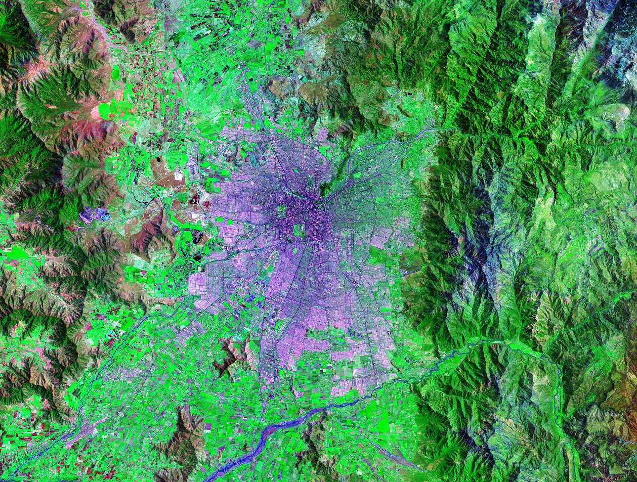
 Santiago, Chile Santiago, Chile |
Sao Paulo, Brazil |
 Seoul, South Korea Seoul, South Korea |

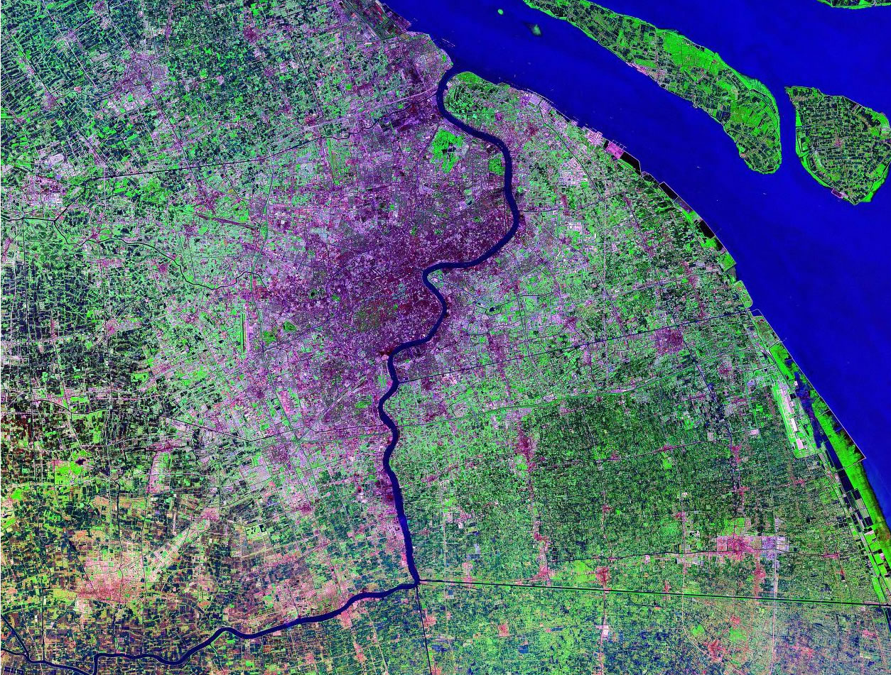
Shanghai, China |
 Shenyang, China Shenyang, China |
 Stockholm, Sweden Stockholm, Sweden |
 Sydney, Australia Sydney, Australia |
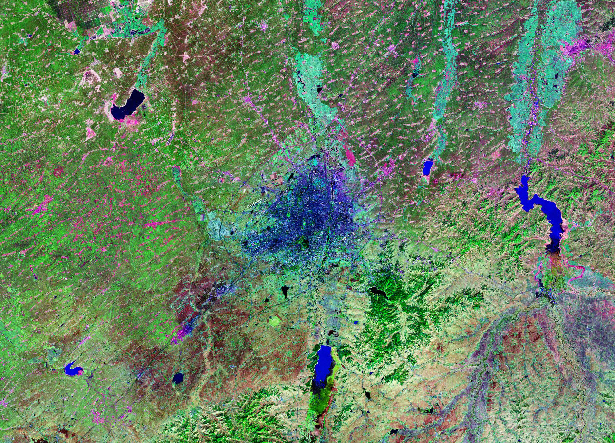
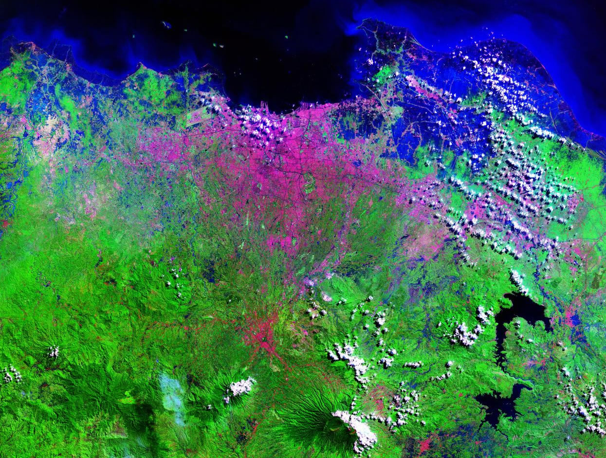
 Tehran, Iran Tehran, Iran |
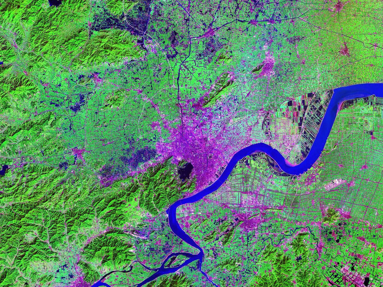
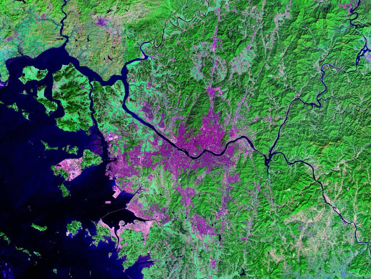
Tianjin, China |
Tijuana, Mexico |
 Tokyo, Japan Tokyo, Japan |
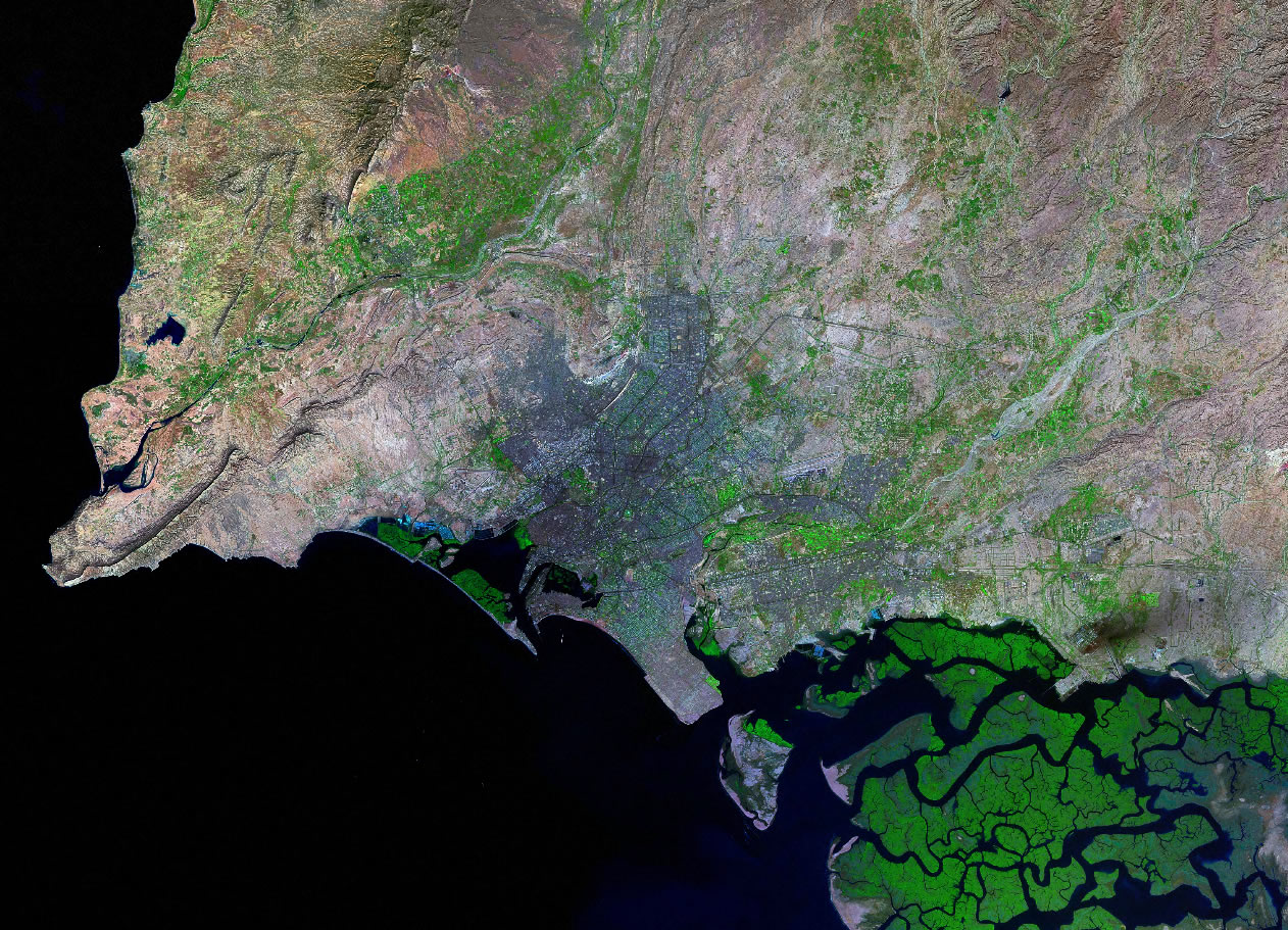
 Toronto, Canada Toronto, Canada |
 Vancouver, Canada Vancouver, Canada |
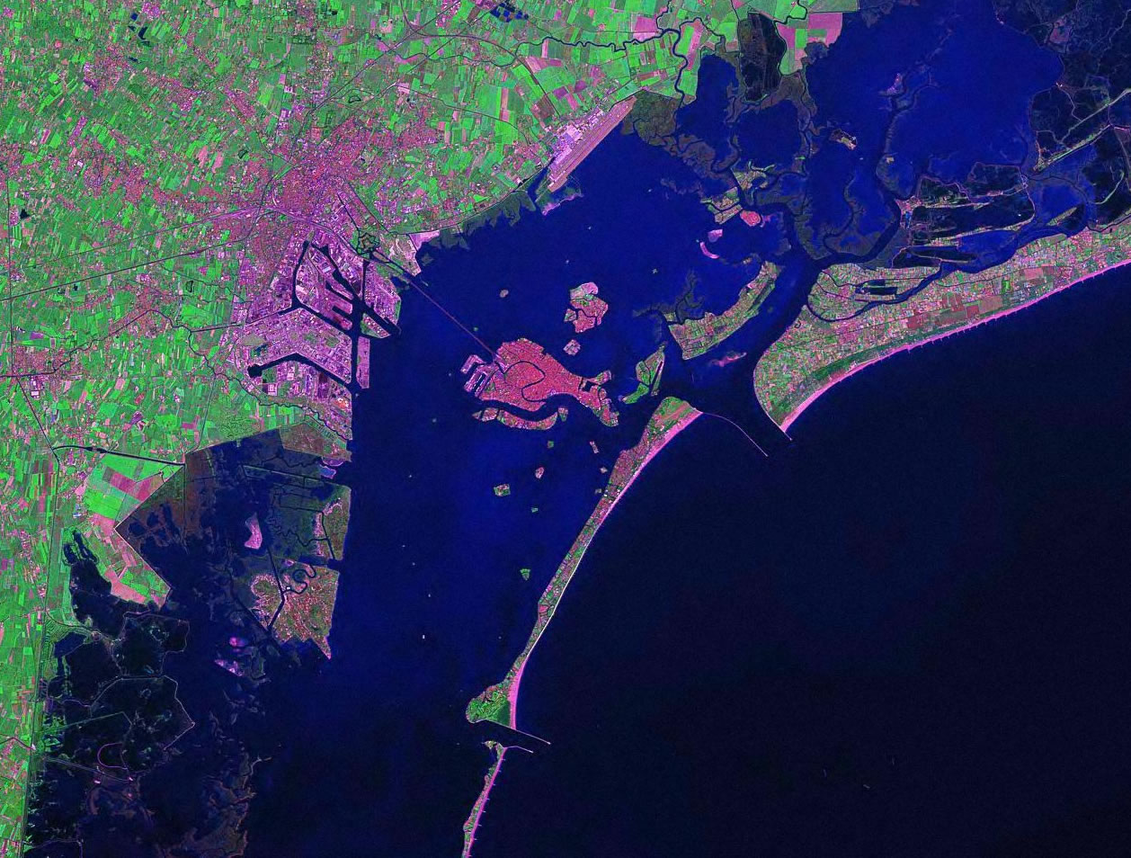
Venice, Italy |
Vienna, Austria |
 Zurich, Switzerland Zurich, Switzerland |
| Copyright information: The satellite images on this page were composed by Ann Bryant and are copyright by Geology.com. If you want to share these images with others, please link to this page. Use of any Geology.com image without written permission is prohibited. |
|