 Makes a great gift!
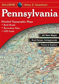
Pennsylvania DeLorme Atlas
Complete Pennsylvania Road Map and
Topographic Map Coverage
- Large 11" x 15.5" Pages
- Topo Maps with Back Roads
- 72 Pages of Maps
- 16 Pages of Attractions, Information and Places to Visit
- Scale: 1:150,000 (1" = 2.4 miles)
A few ways you can use this atlas:
- Plan a family outing to Hershey!
- Explore museums and science centers in Philadelphia
- Find camping sites in Allegheny National Forest
- Locate hiking trails in the Delaware Water Gap
|
Ships right away by Priority Mail
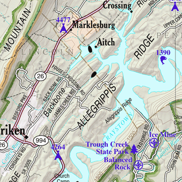
A Sample Map From This Book
Some of the Map Symbols
 |
Campgrounds |
 |
Family Outings |
 |
Outdoor Adventures |
 |
Unique Natural Features |
 |
Hunting |
 |
Fishing |
 |
Recreation Areas |
 |
Windmill |
 |
Boat Launch Site - Non-restricted |
 |
Boat Launch Site - Restricted |
 |
Golf Courses |
 |
Information Centers |
You will be impressed with the details and extras that the DeLorme Atlas and Gazetteer has to offer!