 Makes a great gift!
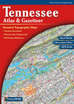
Tennessee DeLorme Atlas
Complete Tennessee Road Map and
Topographic Map Coverage
- Large 11" x 15.5" Pages
- Topo Maps with Back Roads
- 59 Pages of Maps
- 13 Pages of Attractions, Information and Places to Visit
- Scale: 1:150,000 (1" = 2.4 miles)
A few ways you can use this atlas:
- Explore historic sites of Memphis!
- Find hiking trails in Cumberland Mountain State Park
- Plan where to camp in the Great Smoky Mountains
- Learn what types of fish caught in Norris Lake
|
Ships right away by Priority Mail
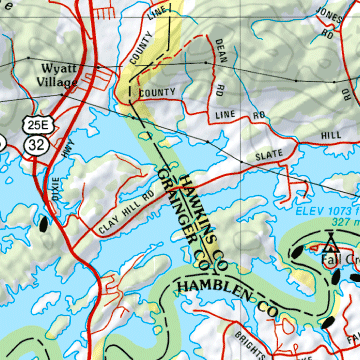
A Sample Map From This Book
Some of the Map Symbols
 |
Wildlife |
 |
Scenic Drives |
 |
Campgrounds |
 |
Canoe Trips |
 |
Hiking |
 |
Fishing |
 |
Parks/Forests/Recreation Areas |
 |
Historic Sites/Museums |
 |
Hunting |
 |
Unique Natural Features |
 |
Boat Launch Site |
 |
Welcome Center |
This up-to-date atlas offers so much more than an ordinary map. It can help to plan your next vacation in Tennessee!