 Makes a great gift!
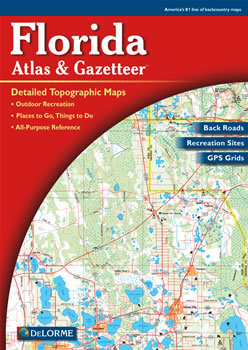
Florida DeLorme Atlas
Complete Florida Road Map and
Topographic Map Coverage
- Large 11" x 15.5" Pages
- Topo Maps with Back Roads
- 103 Pages of Maps
- 25 Pages of Attractions, Information and Places to Visit
- Scale: 1:150,000 (1" = 2.4 miles)
You can use your atlas to:
- Pick from Florida's 600-plus listed golf courses!
- Check the mileage from Pensacola to Key West
- Plan a scuba dive trip in one of Florida's many springs
- Find RV camping sites in Kissimmee
|
Ships right away by Priority Mail
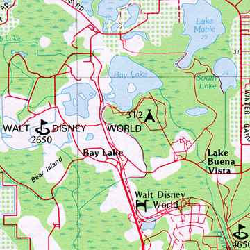
A Sample Map From This Book
Some of the Map Symbols
 |
Beaches |
 |
Campgrounds |
 |
Freshwater Fishing |
 |
Saltwater Fishing |
 |
Botanical Gardens |
 |
Bicycle Routes |
 |
Parks/Forests/Recreation Areas |
 |
Golf Courses |
 |
Historic Sites |
 |
Wildlife |
 |
Museums |
 |
Canoe Trips |
The DeLorme Atlas and Gazetteer has an index of place names for easy look-up. The back cover of this atlas has a large map of Florida with an overlying grid. Each cell of the grid contains the page number for a detailed map of that area. Plan your next trip with this map collection, recreation guide and travel planner organized in one handy book!