Makes a great gift!
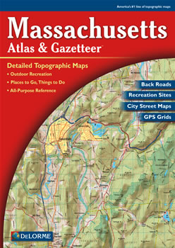
Massachusetts DeLorme Atlas
Complete Massachusetts Road Map and
Topographic Map Coverage
- Topo Maps with Back Roads
- 60 Pages of Maps
- 20 Pages of Attractions, Information and Places to Visit
- Scale: 1:80,000 (1" = 1.3 miles)
A few ways you can use this atlas:
|
A Sample Map From This Book
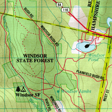
Some of the Map Symbols
| Attractions | |
| Campgrounds | |
| Downhill Skiing | |
| Golf Courses | |
| Fishing | |
| Hunting | |
| Recreation Areas | |
| Paddling | |
| Historic Sites | |
| Trails | |
| Scenic Drives | |
| Wildlife Viewing | |
There are 20 additional pages of reference information for the state's activities and points of interest. These include: trails, wildlife viewing, fishing, hunting, paddling, golf courses, camping, skiing, recreation areas, unique natural features, historic sites and scenic drives. Also, you will find city street maps of Boston, Springfield and Worcester. The details in the DeLorme Atlas and Gazetteer makes this a convenient and complete topographic map collection, travel guide and activity planner in one book!