Makes a great gift!
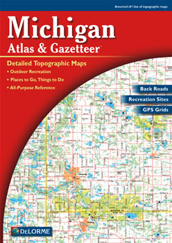
Michigan DeLorme Atlas
Complete Michigan Road Map and
Topographic Map Coverage
- Topo Maps with Back Roads
- 102 Pages of Maps
- 18 Pages of Attractions, Information and Places to Visit
- Scale: 1:150,000 (1" = 2.4 miles)
Some suggested ways to use this atlas are to:
|
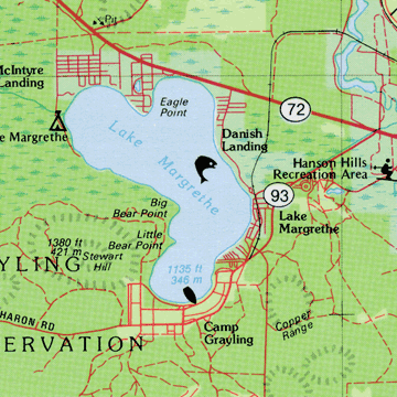
A Sample Map From This Book
Some of the Map Symbols
| Art Museums/Science Centers | |
| Campgrounds | |
| Downhill Skiing | |
| Golf Courses | |
| Inland Fishing | |
| Hunting | |
| Parks | |
| Canoe Trips | |
| Sports | |
| Excursions/Scenic Drives | |
| Wildlife | |
| Wineries | |
This atlas has 18 additional pages of reference information on the state's recreation and attractions. The information includes: Michigan's parks, wilderness areas, gardens, beaches, waterfalls, golf courses, wineries, museums, campgrounds, hiking, skiing and biking. There are so many details and extras you will not be disappointed with the DeLorme Atlas and Gazetteer!