Makes a great gift!
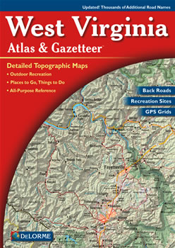
West Virginia DeLorme Atlas
Complete West Virginia Road Map and
Topographic Map Coverage
- Topo Maps with Back Roads
- 46 Pages of Maps
- 18 Pages of Attractions, Information and Places to Visit
- Scale: 1:150,000 (1" = 2.4 miles)
This great atlas can help you to:
|
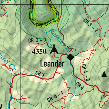
A Sample Map From This Book
Some of the Map Symbols
| Attractions | |
| Bicycle Routes | |
| Campgrounds | |
| State Lands | |
| Hunting | |
| Fishing | |
| Unique Natural Features | |
| Covered Bridges | |
| Hiking | |
| Historic Sites | |
| Downhill Skiing | |
| Paddling | |
The detailed maps in this DeLorme Atlas and Gazetteer show physical features, such as mountains, forests, hollows, lakes, rivers and creeks. The man-made features include: towns, cities, roads, highways, interstates, airports, railroads, parks and wildlife management areas. State-wide topographic information is shown by contour lines with intervals of 100 feet. The extra features and details in this shaded relief map collection will make your trip-planning easy!