 Makes a great gift!
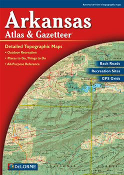
Arkansas DeLorme Atlas
Complete Arkansas Road Map and
Topographic Map Coverage
- Large 11" x 15.5" Pages
- Topo Maps with Back Roads
- 113 Pages of Maps
- 15 Pages of Attractions, Information and Places to Visit
- Scale: 1:125,000 (1" = 1.97 miles)
Here are just a few ways you can use this atlas:
- Plan a family outing to crystal mines near Mt. Ida
- Find golf courses around Little Rock
- Learn what types of fish are caught in Bull Shoals Lake
- Select a mountain biking trail for a weekend adventure
|
Ships right away by Priority Mail
A Sample Map From This Book
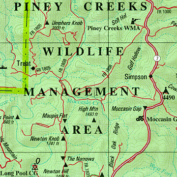
Some of the Map Symbols
 |
Attractions |
 |
Campgrounds |
 |
Biking |
 |
Fishing |
 |
Scenic Drives |
 |
State Lands |
 |
Unique Natural Features |
 |
Float Trips |
 |
Golf Courses |
 |
Hiking |
 |
Historic Sites |
 |
Hunting |
The details in this up-to-date atlas make it a convenient topographic map collection, recreation guide and travel planner available in one handy book!