Makes a great gift!
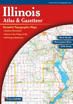
Illinois DeLorme Atlas
Complete Illinois Road Map and
Topographic Map Coverage
- Topo Maps with Back Roads
- 81 Pages of Maps
- 15 Pages of Attractions, Information and Places to Visit
- Scale: 1:150,000 (1" = 2.4 miles)
You can use this atlas to:
|
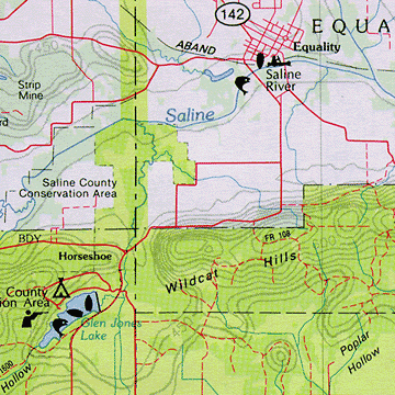
A Sample Map From This Book
Some of the Map Symbols
| Wildlife | |
| Campgrounds | |
| Canoe Trips | |
| Fishing | |
| Boat Launch Sites - Trailerable | |
| Scenic Drives | |
| Parks/Forests/Recreation Areas | |
| Museums | |
| Historic Sites | |
| Trails | |
| Unique Natural Features | |
| Hunting | |
This handy atlas has an index of Illinois place names for easy look-up. The back cover of this atlas has a large map of Illinois with an overlying grid. Each cell of the grid contains the page number for a detailed map of that area. The detailed maps show physical and man-made features, which include: lakes, islands, rivers, creeks, springs, reservoirs, dams, towns, cities, roads, highways, interstates, county boundaries, parks, preserves, forests, airports and railroads. The details and extras can help to plan your next vacation in Illinois!