Makes a great gift!
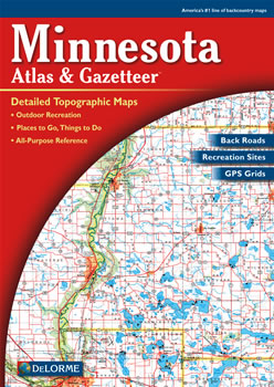
Minnesota DeLorme Atlas
Complete Minnesota Road Map and
Topographic Map Coverage
- Topo Maps with Back Roads
- 77 Pages of Maps
- 19 Pages of Attractions, Information and Places to Visit
- Scale: 1:190,000 (1" = 3 miles)
Ways you can use this atlas:
|
A Sample Map From This Book
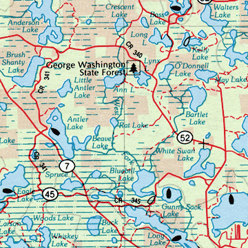
Some of the Map Symbols
| Art Museums/Science Centers | |
| Campgrounds | |
| Bicycle Routes | |
| Golf Courses | |
| Fishing | |
| Hunting | |
| Parks | |
| Canoe Trips | |
| Beaches | |
| Forests | |
| Wildlife | |
| Unique Natural Features | |
You will also find 19 additional pages of reference information on the state's attractions and activities. These areas of interest include: the state's parks, forests, historic sites, museums, campgrounds, wildlife, boat launch sites, hiking, hunting, scenic drives, canoeing, fishing, golf courses, seaplane bases and unique natural features. You will be impressed with the details and extras that the DeLorme Atlas and Gazetteer has to offer!