 Makes a great gift!
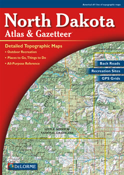
North Dakota DeLorme Atlas
Complete North Dakota Road Map and
Topographic Map Coverage
- Large 11" x 15.5" Pages
- Topo Maps with Back Roads
- 56 Pages of Maps
- 8 Pages of Attractions, Information and Places to Visit
- Scale: 1:200,000 (1" = 3.2 miles)
A few ways you can use this atlas:
- Locate museums and attractions in Fargo
- Plan a weekend exploring the Badlands
- Learn what types of fish are caught in Lake Tschida
- Find trailheads on Petrified Forest Trail!
|
Ships right away by Priority Mail
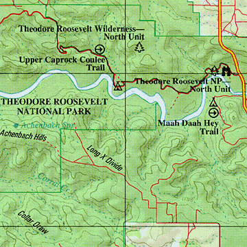
A Sample Map From This Book
Some of the Map Symbols
 |
Campgrounds |
 |
Attractions |
 |
Fishing |
 |
Historic Sites |
 |
Hunting |
 |
Trails |
 |
State Lands |
 |
Unique Natural Features |
 |
Wildlife Viewing |
 |
National Lands |
 |
Tribal Lands |
 |
Information Center |
The atlas has state-wide topographic information shown by contour lines with intervals of 120 feet. You will be impressed with the details and extras that the DeLorme Atlas and Gazetteer has to offer!