 Makes a great gift!
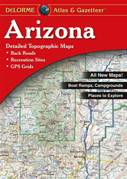
Arizona DeLorme Atlas
Complete Arizona Road Map and
Topographic Map Coverage
- Large 11" x 15.5" Pages
- Topo Maps with Back Roads
- 56 Pages of Maps
- 12 Pages of Attractions, Information and Places to Visit
- Scale: 1:260,000 (1" = 4.1 miles)
Some ways to use this atlas are to:
- Find trails, hikes and scenic drives close to Phoenix
- Locate Arizona's BLM and publicly owned lands
- Explore Grand Canyon National Park
- Plan your visit to the Petrified Forest National Forest
|
Ships right away by Priority Mail
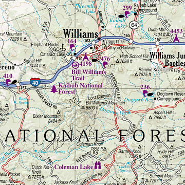
A Sample Map From This Book
Some of the Map Symbols
 |
Outdoor Adventures |
 |
Campgrounds |
 |
Hunting |
 |
Fishing |
 |
Family Outings |
 |
Recreation Areas |
 |
Unique Natural Features |
 |
Wildlife Viewing |
 |
Grand Canyon Campgrounds |
 |
Grand Canyon Fishing |
 |
Grand Canyon Family Outings |
|
Grand Canyon Natural Features |
The atlas has state-wide topographic information shown by contour lines with intervals of 300 feet. The DeLorme Atlas and Gazetteer has an additional 12 pages dedicated to Arizona's recreation and points of interest. You will be impressed with what this atlas has to offer!