 Makes a great gift!
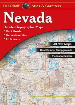
Nevada DeLorme Atlas
Complete Nevada Road Map and
Topographic Map Coverage
- Large 11" x 15.5" Pages
- Topo Maps with Back Roads
- 57 Pages of Maps
- 15 Pages of Attractions, Information and Places to Visit
- Scale: 1:250,000 (1" = 4 miles)
Here are some examples of how you can use this atlas:
- Find RV camping sites near Las Vegas
- Locate museums in Carson City
- Review recreational options in Valley of Fire State Park
- Explore Lunar Crater Volcanic Field
|
Ships right away by Priority Mail
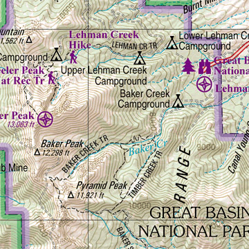
A Sample Map From This Book
Some of the Map Symbols
 |
Attractions |
 |
Casinos |
 |
Campgrounds |
 |
Fishing |
 |
Wildlife Viewing |
 |
Hiking |
 |
State Parks and Recreation Areas |
 |
Scenic Drives |
 |
Historic Sites |
 |
Downhill Skiing
|
 |
Golf Courses |
 |
Unique Natural Features |
There is an additional two-page map that shows the public owned lands in Nevada. This up-to-date atlas offers so much more than an ordinary map. It can help to plan your next vacation in Nevada!