 Makes a great gift!
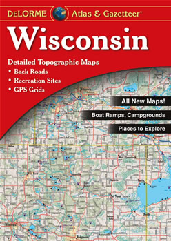
Wisconsin DeLorme Atlas
Complete Wisconsin Road Map and
Topographic Map Coverage
- Large 11" x 15.5" Pages
- Topo Maps with Back Roads
- 78 Pages of Maps
- 18 Pages of Attractions, Information and Places to Visit
- Scale: 1:160,000 (1" = 2.5 miles)
Here are just a few ways you can use this atlas:
- Plan a hike along the Ice Age National Scenic Trail
- Explore the geology of Kettle Moraine State Forest
- Find campgrounds near Lake Tomahawk
- Plan a family outing to the Wisconsin Dells
|
Ships right away by Priority Mail
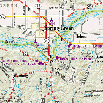
A Sample Map From This Book
Some of the Map Symbols
 |
Outdoor Adventures |
 |
Family Outings |
 |
Campgrounds |
 |
Recreation Areas |
 |
Hunting |
 |
Fishing |
 |
Unique Natural Features |
 |
Boat Launch Sites - Non-restricted |
 |
Boat Launch Sites - Restricted |
 |
Golf Courses |
 |
Windmill |
 |
Information Center |
This atlas also has a two-page Wisconsin highway map and mileage chart. There are so many extras you will be impressed with the usefulness of the DeLorme Atlas and Gazetteer!