Makes a great gift!
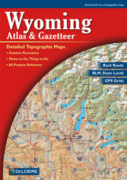
Wyoming DeLorme Atlas
Complete Wyoming Road Map and
Topographic Map Coverage
- Topo Maps with Back Roads
- 60 Pages of Maps
- 12 Pages of Attractions, Information and Places to Visit
- Scale: 1:250,000 (1" = 4 miles)
Some suggested ways to use this atlas are to:
|
A Sample Map From This Book
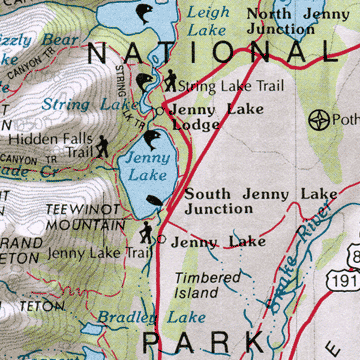
Some of the Map Symbols
| BLM Public Lands | |
| Scenic Drives | |
| Campgrounds | |
| State Parks | |
| Hunting - Game and Fish Offices | |
| Fishing | |
| Unique Natural Features | |
| Hiking | |
| National Lands | |
| Ski Areas | |
| Historic Sites/Museums | |
| Information Centers | |
This atlas also contains 12 pages of reference information including the state's annual events, public lands, campgrounds, guest/dude ranches, historic sites, skiing, hiking, hunting and fishing. In addition, there is a locator map for publicly-owned-lands and a two-page map with information about Yellowstone National Park. This is no ordinary map. You will be impressed with the details and extras that the DeLorme Atlas and Gazetteer has to offer!