Home » Store » Wall Maps » South America

Political Map of South America
Laminated Wall Map

Map of South America

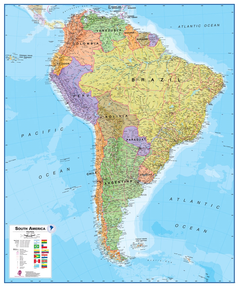
Laminated Political Wall Map of South America

Map Dimensions: 47 inches tall x 39 inches wide. Click here for more detail.

A Spectacular Map of South America

Only $99.99
This is a great map of South America for students, schools, homes or offices. It shows the countries of Africa in great detail along with their boundaries, important cities, major transportation features, lakes, rivers, mountains, deserts and other cultural and physical features. It is large, colorful, beautiful, and its lamination makes a durable map. You can write on it with dry-erase markers and wipe them off when finished. Post-It notes make great markers that cleanly remove when you are finished.

ADVERTISEMENT

This map will be an attractive and functional addition to your room, or keep it rolled for occasional use. It has wonderful blue oceans, brightly colored countries, and accurate geographic detail. Use it anywhere that a map is needed for education, display, or decor. Lamination makes it easy to hang and display.
Plan or share your trip to South America on this map!
Use pins or removable tape to attach photos, tickets, notes, signs, flags and more.

A Great Map for Home Learning

One of the most valuable uses of a map like this is in the home. When you learn about an important event in South America while watching the news or reading a news website, you can find the location on the map. This will enrich your understanding of the event and your knowledge of South American geography. This is a great map for those who are home schooling.

How We Ship This Map to You

This is a large map and we want you to receive it in perfect condition. To do that we neatly roll it - face-inwards - and insert it into a sturdy map tube. We ship all of our laminated maps through the United States Postal Service using Priority Mail. We ship no later than the next business day after your order is placed and you should receive it in just a few days. We ship Priority Mail to all customer addresses in Hawaii, Alaska, APO, FPO and all official United States Territories (Sorry, we are unable to ship any purchases to countries outside of the United States). If you order other items at the same time, your maps will be shipped in a separate tube.

South American Countries Shown on this Map

A total of twelve South American countries are shown on the map. They include: Argentina, Bolivia, Brazil, Chile, Colombia, Ecuador, Guyana, Paraguay, Peru, Suriname, Uruguay and Venezuela.