Utah Map Collection

Utah County Map:
This map shows Utah's 29 counties. Also available is a detailed Utah County Map with county seat cities.
ADVERTISEMENT


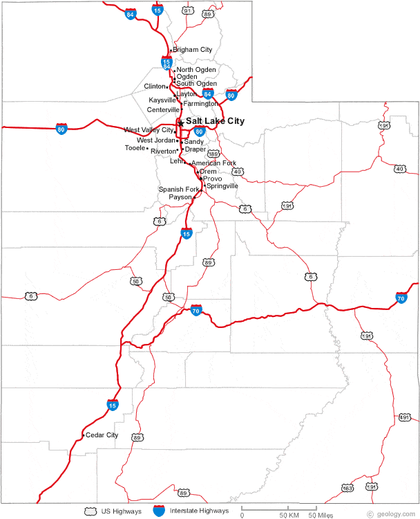
Map of Utah Cities:
This map shows many of Utah's important cities and most important roads. The important north - south route is Interstate 15. Important east - west routes include: Interstate 70, Interstate 80 and Interstate 84. We also have a more detailed Map of Utah Cities.
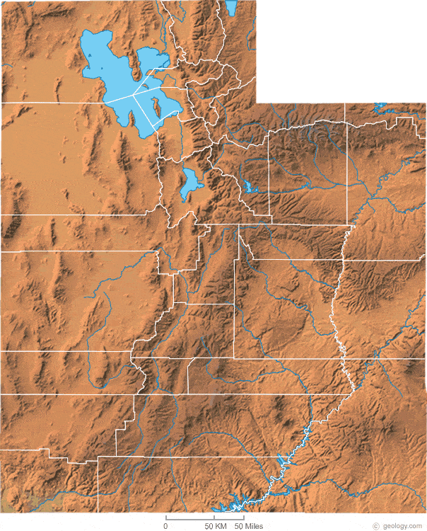
Utah Physical Map:
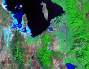
This Utah shaded relief map shows the major physical features of the state. For other nice views of the state, see our Utah Satellite image or the Utah map by Google.
ADVERTISEMENT

Utah Rivers Map:
This map shows the major streams and rivers of Utah and some of the larger lakes. Most of western Utah is part of the Great Basin, an area of the United States with internal drainage that does not contribute water to an ocean. Instead, the water flows into basins such as Great Salt Lake, Utah Lake and Sevier Lake. The rest of the state is in the Gulf of America Watershed with most of the water leaving the state through the Colorado River. Most of these lakes and streams can be clearly seen on the Utah Satellite Image. We also have a page about Utah water resources.
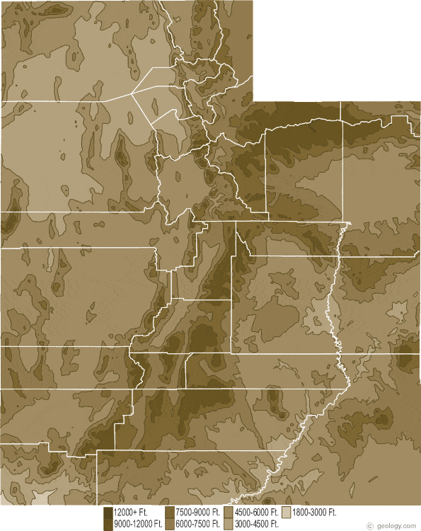
Utah Elevation Map:
This is a generalized topographic map of Utah. It shows elevation trends across the state. Detailed topographic maps and aerial photos of Utah are available in the Geology.com store. See our state high points map to learn about Kings Peak at 13,528 feet - the highest point in Utah. The lowest point is Beaverdam Wash at 2,000 feet.