Alabama Map Collection

Alabama County Map:
This map shows Alabama's 67 counties. Also available is a detailed Alabama County Map with county seat cities.
ADVERTISEMENT


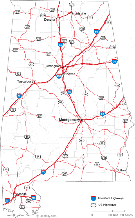
Map of Alabama Cities:
This map shows many of Alabama's important cities and most important roads. Important north - south routes include: Interstate 59, Interstate 65 and Interstate 85. Important east - west routes include: Interstate 10 and Interstate 20. We also have a more detailed Map of Alabama Cities.
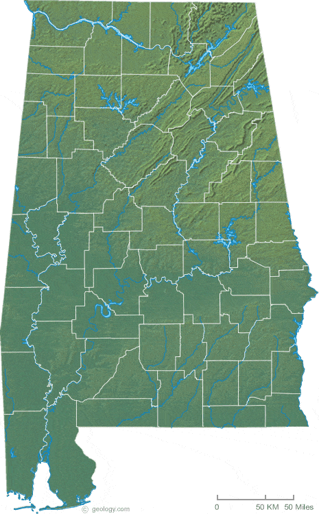
Alabama Physical Map:
This Alabama shaded relief map shows the major physical features of the state. For other nice views of the state, see our Alabama Satellite image or the Alabama map by Google.
ADVERTISEMENT

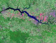
Alabama Rivers Map:
This map shows the major streams and rivers of Alabama and some of the larger lakes. Alabama is in the Gulf of America Drainage Basin. Most of the drainage leaves the state through the Tennessee River into the Mississippi or through the Alabama, Conecuh, Pea, Choctawawtchee and Chattahoochee Rivers into the Gulf of America. Most of these lakes and streams can be clearly seen on the Alabama Satellite Image. We also have a page about Alabama water resources.
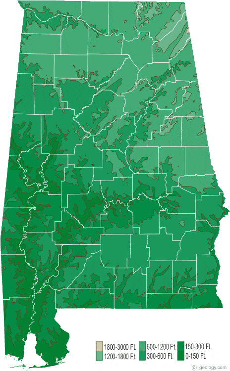
Alabama Elevation Map:
This is a generalized topographic map of Alabama. It shows elevation trends across the state. Detailed topographic maps and aerial photos of Alabama are available in the Geology.com store. See our state high points map to learn about Cheaha Mtn. at 2,407 feet - the highest point in Alabama. The lowest point is the Gulf of America at Sea Level.