Home » US Maps » Alabama » County Map
Alabama County Map with County Seat Cities

ADVERTISEMENT
County Maps for Neighboring States:
Florida Georgia Mississippi Tennessee
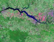


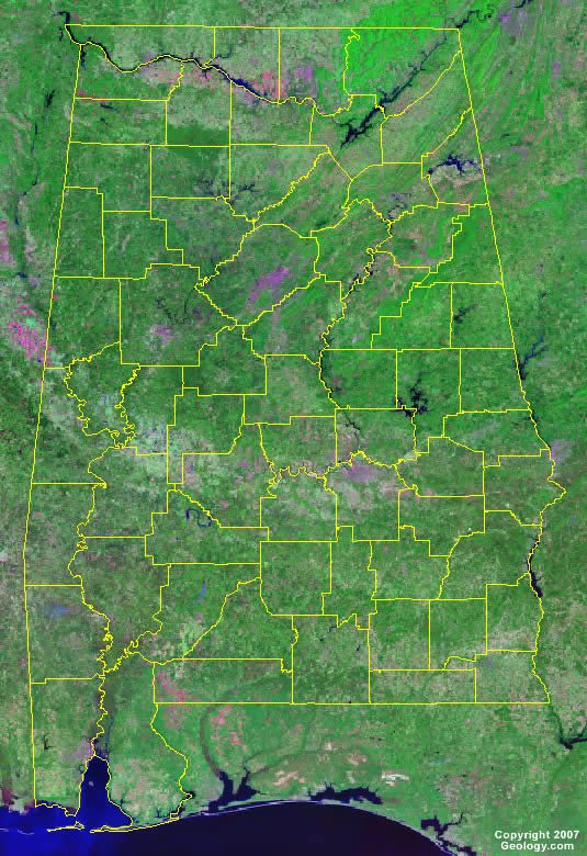
The map above is a Landsat satellite image of Alabama with County boundaries superimposed. We have a more detailed satellite image of Alabama without County boundaries.


ADVERTISEMENT
Alabama Counties and County Seats |
|
|
Autauga County - Prattville Baldwin County - Bay Minette Barbour County - Clayton Bibb County - Centreville Blount County - Oneonta Bullock County - Union Springs Butler County - Greenville Calhoun County - Anniston Chambers County - Lafayette Cherokee County - Centre Chilton County - Clanton Choctaw County - Butler Clarke County - Grove Hill Clay County - Ashland Cleburne County - Heflin Coffee County - Elba Colbert County - Tuscumbia Conecuh County - Evergreen Coosa County - Rockford Covington County - Andalusia Crenshaw County - Luverne Cullman County - Cullman Dale County - Ozark Dallas County - Selma DeKalb County - Fort Payne Elmore County - Wetumpka Escambia County - Brewton Etowah County - Gadsden Fayette County - Fayette Franklin County - Russellville Geneva County - Geneva Greene County - Eutaw Hale County - Greensboro Henry County - Abbeville |
Houston County - Dothan Jackson County - Scottsboro Jefferson County - Birmingham Lamar County - Vernon Lauderdale County - Florence Lawrence County - Moulton Lee County - Opelika Limestone County - Athens Lowndes County - Hayneville Macon County - Tuskegee Madison County - Huntsville Marengo County - Linden Marion County - Hamilton Marshall County - Guntersville Mobile County - Mobile Monroe County - Monroeville Montgomery County - Montgomery Morgan County - Decatur Perry County - Marion Pickens County - Carrollton Pike County - Troy Randolph County - Wedowee Russell County - Phenix City St. Clair County - Ashville and Pell City Shelby County - Columbiana Sumter County - Livingston Talladega County - Talladega Tallapoosa County - Dadeville Tuscaloosa County - Tuscaloosa Walker County - Jasper Washington County - Chatom Wilcox County - Camden Winston County - Double Springs |
