Home » US Maps » Hawaii » County Map
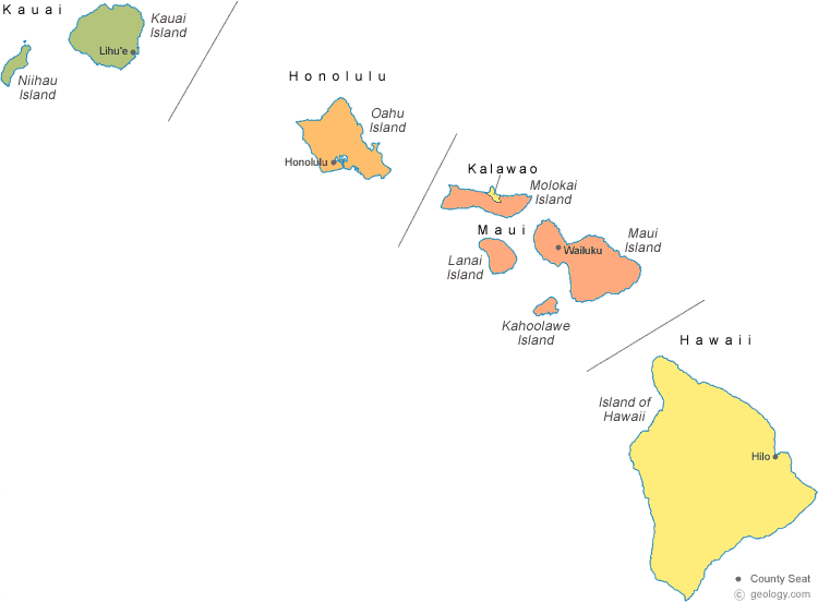
Hawaii Islands Map with County Seat Cities
High-Resolution Topo Maps of Maui |
ADVERTISEMENT


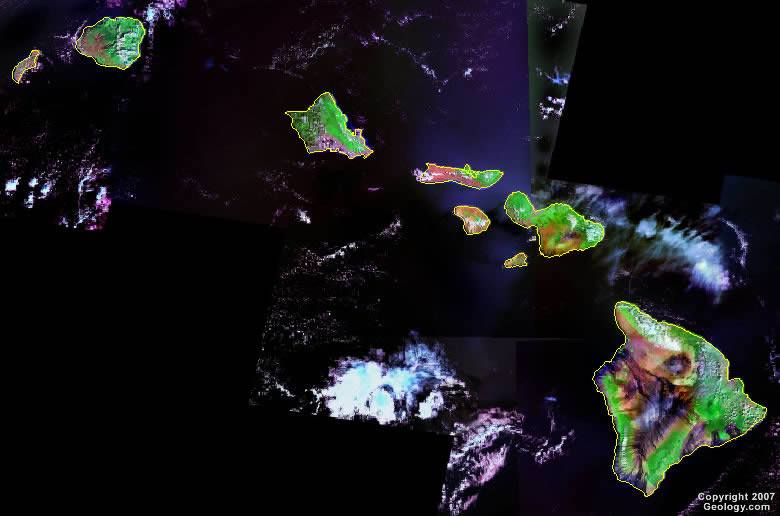
The map above is a Landsat satellite image of Hawaii with county boundaries superimposed. We also have a more detailed satellite image of Hawaii.


ADVERTISEMENT
Hawaii Counties and Administrative Cities |
|
|
Hawaii County - Hilo Honolulu County - Honolulu Kalawao County - None |
Kauai County - Lihue Maui County - Wailuku |
