Home » World Maps » North America » Caribbean Islands » Dominican Republic
Dominican Republic Map and Satellite Image

| Dominican Republic is located on the island of Hispaniola, between the Caribbean Sea and the Atlantic Ocean. Dominican Republic is bordered by Haiti to the west. |
ADVERTISEMENT
Dominican Republic Bordering Countries:
HaitiRegional Maps:
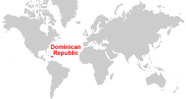
Map of the Caribbean Islands, Map of North America, World MapWhere is Dominican Republic?
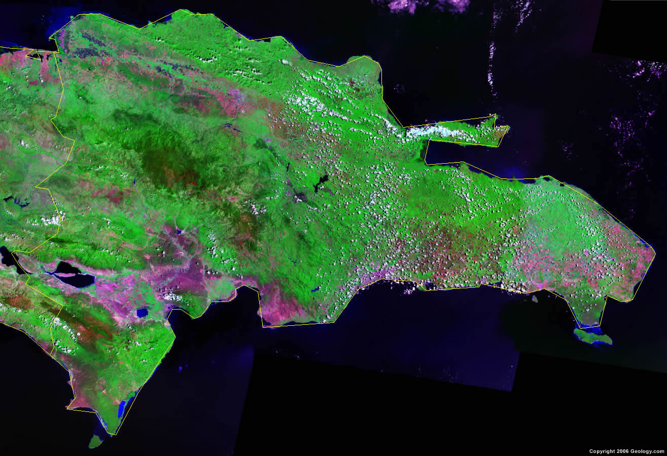
Dominican Republic Satellite Image
ADVERTISEMENT

Explore Dominican Republic Using Google Earth:
Google Earth is a free program from Google that allows you to explore satellite images showing the cities and landscapes of Dominican Republic and all of the Caribbean in fantastic detail. It works on your desktop computer, tablet, or mobile phone. The images in many areas are detailed enough that you can see houses, vehicles and even people on a city street. Google Earth is free and easy-to-use.
Dominican Republic on a World Wall Map:
Dominican Republic is one of nearly 200 countries illustrated on our Blue Ocean Laminated Map of the World. This map shows a combination of political and physical features. It includes country boundaries, major cities, major mountains in shaded relief, ocean depth in blue color gradient, along with many other features. This is a great map for students, schools, offices and anywhere that a nice map of the world is needed for education, display or decor.
Dominican Republic On a Large Wall Map of North America:
If you are interested in Dominican Republic and the geography of North America, our large laminated map of North America might be just what you need. It is a large political map of North America that also shows many of the continent's physical features in color or shaded relief. Major lakes, rivers, cities, roads, country boundaries, coastlines and surrounding islands are all shown on the map.Dominican Republic Cities:
Azua, Bani, Barahona, Boca de Yuma, Bonao, Cabo Caucedo, Cabrera, Cotui, Dajabon, El Macao, El Sejbo, Elias Pirra, Haina, Higuey, Imbert, La Romana, La Vega, Las Calderas, Luperon, Mao, Moca, Monte Cristi, Nagua, Neiba, Nizao, Oviedo, Pedemales, Pimentel, Puerto Plata, Rincon, Sabana de la Mar, Sabaneta, Salcedo, Samana, San Cristobal, San Francisco de Macoris, San Juan, San Pedro de Macoris, Sanchez, Santiago and Santo Domingo.Dominican Republic Locations:
Atlantic Ocean, Bahia de Neiba, Bahia de Ocoa, Bahia de Samana, Bahia Escocesa, Caribbean Sea, Cordillera Central, Lago de Peligre, Lago Enriquillo, Mona Passage, Rio Haina, Rio Ozama, Rio Yoque del Norte and Rio Yoque del Sul.Dominican Republic Natural Resources:
The Dominican Republic has mineral resources which include nickel, bauxite, gold and silver.Dominican Republic Natural Hazards:
The Dominican Republic has natural hazards, which include periodic droughts. However there is also occasional flooding, due to the fact that the country lies in the middle of the hurricane belt and is subject to severe storms from June to October.Dominican Republic Environmental Issues:
The Dominican Republic's environmental issues include: water shortages; soil eroding into the sea which, in turn, damage the coral reefs; deforestation.
ADVERTISEMENT