Home » World Maps » North America » Caribbean Islands » Grenada
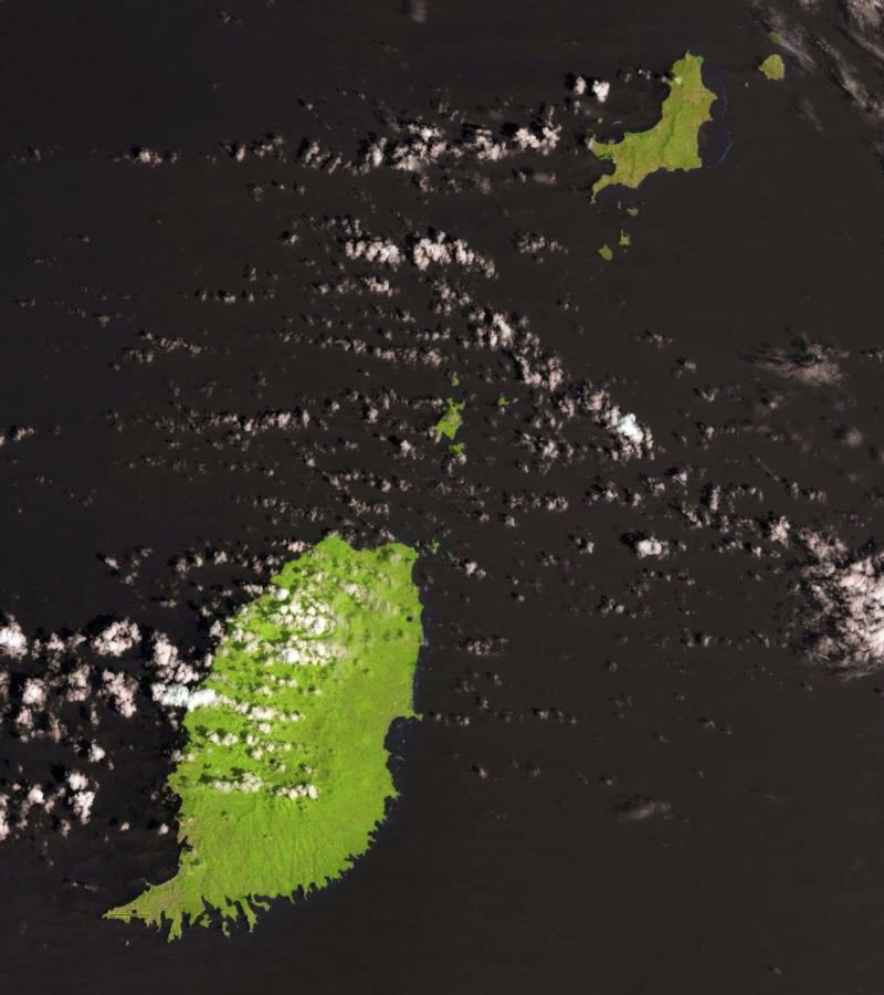
Grenada Map and Satellite Image
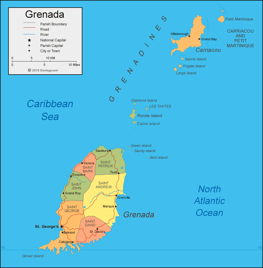
| Grenada is an island in the Caribbean Sea. It is located in the Lesser Antilles, north of Trinidad and Tobago, and south of St. Vincent and the Grenadines. Administration of the Grenadines island group is shared by Grenada and St. Vincent and the Grenadines. |
ADVERTISEMENT
Grenada Bordering Countries:
NoneRegional Maps:
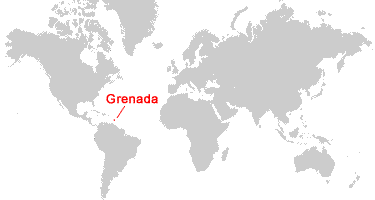
Map of the Caribbean Islands, Map of North America, World MapWhere is Grenada?
Grenada Satellite Image
ADVERTISEMENT

Explore Grenada Using Google Earth:
Google Earth is a free program from Google that allows you to explore satellite images showing the cities and landscapes of Grenada and all of the Caribbean in fantastic detail. It works on your desktop computer, tablet, or mobile phone. The images in many areas are detailed enough that you can see houses, vehicles and even people on a city street. Google Earth is free and easy-to-use.
Grenada on a World Wall Map:
Grenada is one of nearly 200 countries illustrated on our Blue Ocean Laminated Map of the World. This map shows a combination of political and physical features. It includes country boundaries, major cities, major mountains in shaded relief, ocean depth in blue color gradient, along with many other features. This is a great map for students, schools, offices and anywhere that a nice map of the world is needed for education, display or decor.
Grenada On a Large Wall Map of North America:
If you are interested in Grenada and the geography of North America, our large laminated map of North America might be just what you need. It is a large political map of North America that also shows many of the continent's physical features in color or shaded relief. Major lakes, rivers, cities, roads, country boundaries, coastlines and surrounding islands are all shown on the map.Grenada Cities:
St. George's, Belmont, Calivigny, St. David's, Marquis, Grenville, Tivoli, Sauteurs, Victoria, Gouyave, Grand Roy, Grand Bay, Hillsborough.Grenada Parishes:
Saint George, Saint John, Saint Mark, Saint Patrick, Saint Andrew, Saint David, Carriacou and Petit Martinique.Grenada Named Islands:
Petit Martinique, Carriacou, Saline Island, Frigate Island, Large Island, Diamond Island, Les Tantes islands, Ronde Island, Caille Island, Green Island, Sandy Island, Bird Island, Grenada, Glover Island.Grenada Locations:
Caribbean Sea, North Atlantic Ocean.Grenada Natural Resources:
Grenada has natural resources which include spices, tropical fruit, and timber.Grenada Natural Hazards:
Grenada has hurricanes, particularly from June to November. Kick 'em Jenny is an active submarine volcano about five miles north of the island of Grenada, and on the island itself is a volcano named Mount Saint Catherine.Grenada Environmental Issues:
The country of Grenada has deforestation. There is also coastal erosion and pollution.
ADVERTISEMENT