Home » World Maps » North America » Caribbean Islands » Jamaica
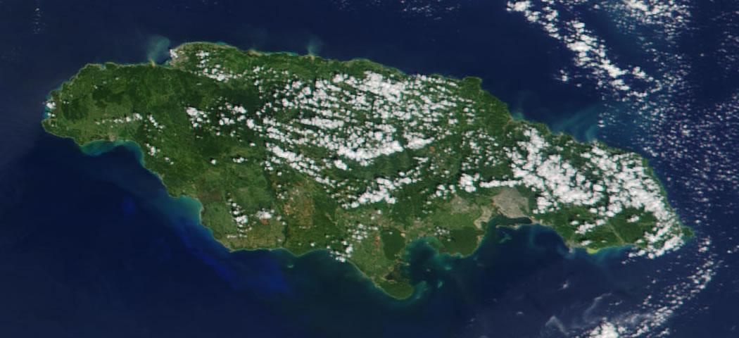
Jamaica Map and Satellite Image
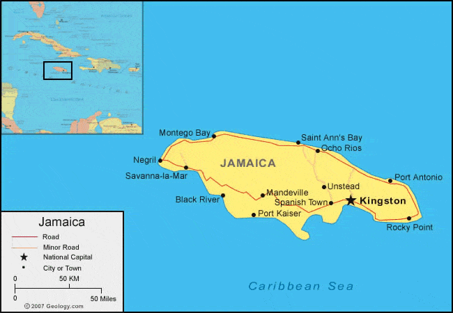
| Jamaica is an island in the Caribbean Sea. It is located south of Cuba. |
ADVERTISEMENT
Jamaica Bordering Countries:
NoneRegional Maps:
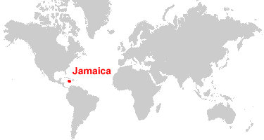
Map of the Caribbean Islands, Map of North America, World MapWhere is Jamaica?
Jamaica Satellite Image
ADVERTISEMENT

Explore Jamaica Using Google Earth:
Google Earth is a free program from Google that allows you to explore satellite images showing the cities and landscapes of Jamaica and all of the Caribbean in fantastic detail. It works on your desktop computer, tablet, or mobile phone. The images in many areas are detailed enough that you can see houses, vehicles and even people on a city street. Google Earth is free and easy-to-use.
Jamaica on a World Wall Map:
Jamaica is one of nearly 200 countries illustrated on our Blue Ocean Laminated Map of the World. This map shows a combination of political and physical features. It includes country boundaries, major cities, major mountains in shaded relief, ocean depth in blue color gradient, along with many other features. This is a great map for students, schools, offices and anywhere that a nice map of the world is needed for education, display or decor.
Jamaica On a Large Wall Map of North America:
If you are interested in Jamaica and the geography of North America, our large laminated map of North America might be just what you need. It is a large political map of North America that also shows many of the continent's physical features in color or shaded relief. Major lakes, rivers, cities, roads, country boundaries, coastlines and surrounding islands are all shown on the map.Jamaica Cities:
Montego Bay, Saint Ann's Bay, Ocho Rios, Negril, Savanna-la-Mar, Port Antonio, Unstead, Mandeville, Black River, Spanish Town, Kingston, Port Kaiser, Rocky Point.Jamaica Locations:
Caribbean Sea.Jamaica Natural Resources:
Jamaica has metal resources which include bauxite. Other resources include gypsum and limestone.Jamaica Natural Hazards:
Jamaica has hurricanes, particularly from July to November.Jamaica Environmental Issues:
The country of Jamaica has heavy deforestation. There is also pollution of the coastal waters due to industrial waste and other substances, as well as damage to the coral reefs.
ADVERTISEMENT