Home » US Maps » New York Maps
New York Map Collection

New York County Map:
This map shows New York's 62 counties. Also available is a detailed New York County Map with county seat cities.
ADVERTISEMENT


Map of New York Cities:
This map shows many of New York's important cities and most important roads. Important north - south routes include: Interstate 81, Interstate 87 and Interstate 495. Important east - west routes include: Interstate 84, Interstate 86, Interstate 88 and Interstate 90. We also have a more detailed Map of New York Cities.

New York Physical Map:
This New York shaded relief map shows the major physical features of the state. For other nice views of the state, see our New York Satellite image or the New York map by Google.
ADVERTISEMENT

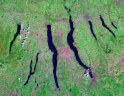
New York Rivers Map:
This map shows the major streams and rivers of New York and some of the larger lakes. Most of New York is in the Atlantic Ocean Watershed. The Hudson, Delaware and Susquehanna Rivers all contribute water to the Atlantic. The northwest margin of the state drains into the St. Lawrence Watershed. A small portion of western New York is in the Mississippi River Drainage Basin. Most of these lakes and streams can be clearly seen on the New York Satellite Image. We also have a page about New York water resources.
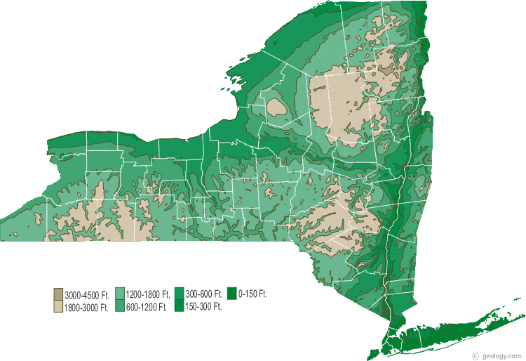
New York Elevation Map:
This is a generalized topographic map of New York. It shows elevation trends across the state. Detailed topographic maps and aerial photos of New York are available in the Geology.com store. See our state high points map to learn about Mt. Marcy at 5,344 feet - the highest point in New York. The lowest point is the Atlantic Ocean at Sea Level.