Home » World Maps » Europe » Bulgaria
Bulgaria Map and Satellite Image

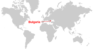
| Bulgaria is located in southeastern Europe. Bulgaria is bordered by the Black Sea to the east, Serbia and the Republic of North Macedonia to the west, Greece and Turkey to the south, and Romania to the north. |
ADVERTISEMENT
Bulgaria Bordering Countries:
Greece, Republic of North Macedonia, Romania, Serbia, TurkeyRegional Maps:
Map of Europe, World MapWhere is Bulgaria?
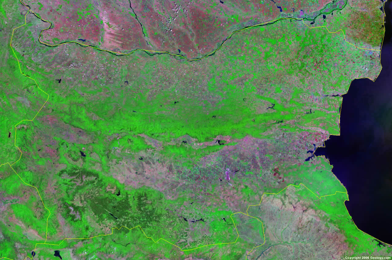
Bulgaria Satellite Image
ADVERTISEMENT

Explore Bulgaria Using Google Earth:
Google Earth is a free program from Google that allows you to explore satellite images showing the cities and landscapes of Bulgaria and all of Europe in fantastic detail. It works on your desktop computer, tablet, or mobile phone. The images in many areas are detailed enough that you can see houses, vehicles and even people on a city street. Google Earth is free and easy-to-use.
Bulgaria on a World Wall Map:
Bulgaria is one of nearly 200 countries illustrated on our Blue Ocean Laminated Map of the World. This map shows a combination of political and physical features. It includes country boundaries, major cities, major mountains in shaded relief, ocean depth in blue color gradient, along with many other features. This is a great map for students, schools, offices and anywhere that a nice map of the world is needed for education, display or decor.
Bulgaria On a Large Wall Map of Europe:
If you are interested in Bulgaria and the geography of Europe our large laminated map of Europe might be just what you need. It is a large political map of Europe that also shows many of the continent's physical features in color or shaded relief. Major lakes, rivers,cities, roads, country boundaries, coastlines and surrounding islands are all shown on the map.Bulgaria Cities:
Berkovista, Bobovdol, Burgas, Dimitrovgrad, Dobrich, Dryanovo, Dupnista, Kurdzhali, Montana, Novi Pazar, Oryakhovo, Pazardzhik, Pernik, Pleven, Plovdiv, Popovo, Razlog, Ruse, Sandanski, Shumen (Kolarovgrad), Shumen, Silistra, Sliven, Smolyan, Sofiya (Sofia), Stara Zagora, Svishtov, Varna, Vidin, Vratsa and Yambol.Bulgaria Locations:
Arda River, Balkan Mountains, Black Sea, Burgaski Zaliv, Burgasko Ezero, Dunarea (Danube River), Kladenets, Ludogorsko Plato, Marica River, Rhodope Mountains, Varnenski Zaliv, Varnensko Ezero, Yazovir A. Stamboliyski, Yazovir Batak, Yazovir Dimitrov, Yazovir Iskur, Yazovir Studen and Yazovir V. Kolarov.Bulgaria Natural Resources:
Bulgaria's mineral resources include bauxite, copper, lead, zinc and coal. Other resources include timber and arable land.Bulgaria Natural Hazards:
Natural hazards in Bulgaria include earthquakes and landslides.Bulgaria Environmental Issues:
There are numerous environmental issues for the country of Bulgaria. The rivers are polluted from raw sewage, heavy metals and detergents, and there is air pollution from industrial emissions. The soil has contamination by heavy metals from the metallurgical plants and industrial wastes. The forests have damage from the resulting acid rain, air pollution, and deforestation.
ADVERTISEMENT