Home » World Maps » Central America » Physical Map
Central America Physical Map
| Click on a country to go to a political map of that country. |
| Google Earth: High Resolution Satellite Images - Worldwide Coverage - Free! |
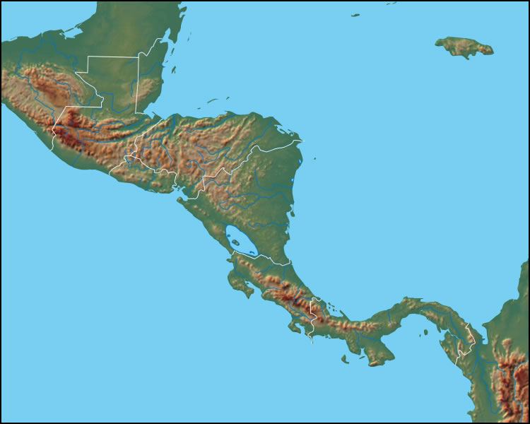
Physical Map of Central America
The map above reveals the physical landscape of Central America. Important mountainous areas are the Sierra Madre in Guatemala and Mexico, the Mapa Mountains in Belize and Guatemala, the Montanas de Comapagua of Honduras, the Cordillera Isabelia of Nicaragua, the Cordillera Talamanca of Costa Rica and Panama and the Cordillera Central in Panama.
Important bodies of water include: Logo de Nicaragua, Gulfo de Fonseca, Golfo de Nicoya and Gulfo de Panama.

| Click on a country to go to a more detailed map of that country. |
Copyright information: The images on this page were composed by Brad Cole and Angela King and are copyright by Geology.com. If you would like to share them with others please link to this page. They are not available for use beyond our websites. The maps were produced using data licensed from and copyright by Map Resources.
| More Geology Topics |
 |
Gold |
 |
Gifts That Rock |
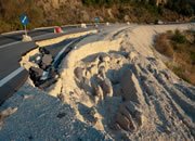 |
Landslides |
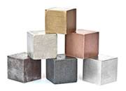 |
Metals |
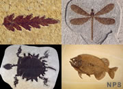 |
Fossils |
 |
General Geology |
 |
Plate Tectonics |
 |
Minerals |

Find Other Topics on Geology.com:

|

| ||

|

| ||
|

| ||

|

|