Home » World Maps » Africa » Djibouti
Djibouti Map and Satellite Image
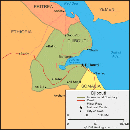
| Djibouti is located in eastern Africa. Djibouti is bordered by the Gulf of Aden to the east, Eritrea to the north, Somalia to the southeast, and Ethiopia to the west and south. |
ADVERTISEMENT
Djibouti Neighboring Countries:
Eritrea, Ethiopia, Somalia, YemenRegional Maps:
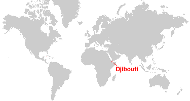
Map of Africa, World MapWhere is Djibouti?
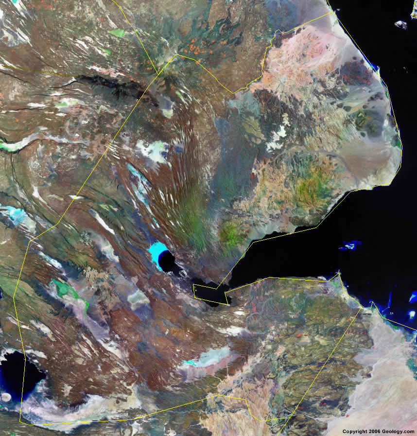
Djibouti Satellite Image
ADVERTISEMENT

Explore Djibouti Using Google Earth:
Google Earth is a free program from Google that allows you to explore satellite images showing the cities and landscapes of Djibouti and all of Africa in fantastic detail. It works on your desktop computer, tablet, or mobile phone. The images in many areas are detailed enough that you can see houses, vehicles and even people on a city street. Google Earth is free and easy-to-use.
Djibouti on a World Wall Map:
Djibouti is one of nearly 200 countries illustrated on our Blue Ocean Laminated Map of the World. This map shows a combination of political and physical features. It includes country boundaries, major cities, major mountains in shaded relief, ocean depth in blue color gradient, along with many other features. This is a great map for students, schools, offices and anywhere that a nice map of the world is needed for education, display or decor.
Djibouti On a Large Wall Map of Africa:
If you are interested in Djibouti and the geography of Africa our large laminated map of Africa might be just what you need. It is a large political map of Africa that also shows many of the continent's physical features in color or shaded relief. Major lakes, rivers, cities, roads, country boundaries, coastlines and surrounding islands are all shown on the map.Djibouti Cities:
Ali Sabih, As Ela, Balho, Dadda'to, Dikhil, Djibouti, Obock and Tadjoura.Djibouti Locations:
Abhe Bid Hay, Bab al Mandab, Gemeri Hay, Gulf de Tadjoura and Gulf of Aden.Djibouti Natural Resources:
The country of Djibouti has various mineral resources, which include marble, granite, limestone, diatomite, pumice, clay and gypsum. Other commercial resources include gold, salt, petroleum and areas of geothermal activity.Djibouti Natural Hazards:
Although one of the natural hazards for Djibouti is droughts, the country does experience the occasional cyclonic disturbances from the Indian Ocean, which will bring heavy rains and flash floods. In addition, earthquakes occur here.Djibouti Environmental Issues:
Djibouti, in eastern Africa, has inadequate supplies of potable water. There is limited arable land and desertification. In addition, the country has endangered species.
ADVERTISEMENT