Home » World Maps » Africa » Eritrea
Eritrea Map and Satellite Image

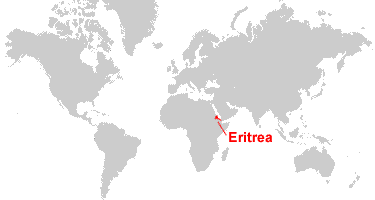
| Eritrea is located in eastern Africa. Eritrea is bordered by the Red Sea to the east, Sudan to the west, Ethiopia to the south, and Djibouti to the southeast. |
ADVERTISEMENT
Eritrea Bordering Countries:
Djibouti, Ethiopia, SudanRegional Maps:
Map of Africa, World MapWhere is Eritrea?
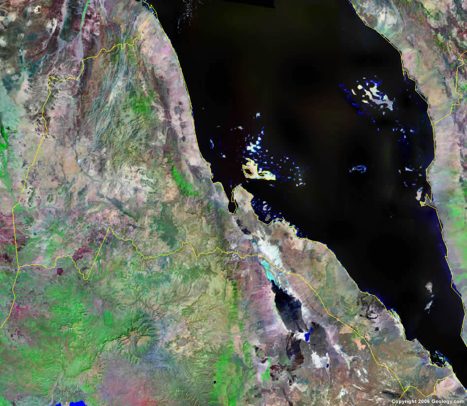
Eritrea Satellite Image
ADVERTISEMENT

Explore Eritrea Using Google Earth:
Google Earth is a free program from Google that allows you to explore satellite images showing the cities and landscapes of Eritrea and all of Africa in fantastic detail. It works on your desktop computer, tablet, or mobile phone. The images in many areas are detailed enough that you can see houses, vehicles and even people on a city street. Google Earth is free and easy-to-use.
Eritrea on a World Wall Map:
Eritrea is one of nearly 200 countries illustrated on our Blue Ocean Laminated Map of the World. This map shows a combination of political and physical features. It includes country boundaries, major cities, major mountains in shaded relief, ocean depth in blue color gradient, along with many other features. This is a great map for students, schools, offices and anywhere that a nice map of the world is needed for education, display or decor.
Eritrea On a Large Wall Map of Africa:
If you are interested in Eritrea and the geography of Africa our large laminated map of Africa might be just what you need. It is a large political map of Africa that also shows many of the continent's physical features in color or shaded relief. Major lakes, rivers, cities, roads, country boundaries, coastlines and surrounding islands are all shown on the map.Eritrea Cities:
Adailo, Adi Kaie, Adi Quala, Adi Ugri, Agordat, Algena, Anaghit, Asmara, Assab, Baden, Barentu, Beilul, Biskia, Decamere, Edd, Kelamet, Keren, Marsa Fatma, Massawa, Meder, Nakfa, Raheita, Saatta, Sala, Tessenei, Tognuf and Zula.Eritrea Locations:
Bab al Mandab, Massawa Channel and the Red Sea.Eritrea Natural Resources:
Eritrea has metal resources, which include gold, zinc and copper. Other natural resources for the country include salt, potash, fish, and a possibility of oil and natural gas.Eritrea Natural Hazards:
The natural hazards in the country of Eritrea include frequent droughts and locust swarms.Eritrea Environmental Issues:
Environmental issues for Eritrea, in eastern Africa, mostly concern the land. These include: deforestation; overgrazing; soil erosion; desertification. The country also has a loss of infrastructure from civil warfare.
ADVERTISEMENT