Home » Satellite Images » US States » Illinois
Satellite Image of Illinois
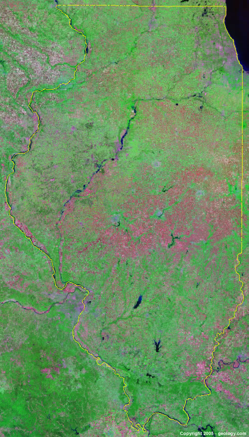
Illinois Satellite Image - View Cities, Rivers, Lakes & Environment
Satellite Images for Neighboring States:
Indiana Iowa Kentucky Missouri WisconsinThis is a Landsat GeoCover 2000 satellite image map of Illinois. Cities, rivers, lakes, mountains and other features shown in this image include:
Illinois Cities:
Alton, IL
Aurora, IL
Belleville, IL
Bloomington-Normal, IL
Chicago, IL
Decatur, IL
Elgin, IL
Evanston, IL
Galesburg, IL
Granite City, IL
Joliet, IL
Kankakee, IL
Moline, IL
Peoria, IL
Rockford, IL
Springfield, IL
St. Charles, IL
Urbana-Champaign, IL
Waukegan, IL
Illinois Rivers, Lakes, Water Features:
Big Muddy River
Carlyle Lake
Cash River
Chautauqua Lake
Clinton Lake
Crane Lake
Embarass River
Fox Lake
Fox River
Goose Lake
Horseshoe Lake
Illinois River
Kankakee River
Kaskaskia River
Kinkaid Lake
Lake Chautauqua
Lake Egypt
Lake Michigan
Lake Shelbyville
Lake Springfield
Mississippi River
Newton Lake
Ohio River
Rend Lake
Rock River
Wabash River
Other Prominent Illinois Features:
Central Illinois Farmlands
Shawnee National Forest
ADVERTISEMENT
More Satellite Images
 State Satellite Images: Color Landsat views of all 50 states. Spectacular images.
 Use Google Earth for FREE: Browse seamless worldwide satellite images. Free.
 Earth from Space at Night: Composite images show worldwide patterns of night light and heat.
 Oil & Gas Fields from Space at Night: Drill pad lighting and flaring make them stand out at night.
 Country Satellite Images: Satellite images for over 170 countries from Landsat GeoCover data.
  Satellite Views of US Cities: Images of 120 cities and their surrounding environment.
 Land Below Sea Level: The top ten locations where land is below the level of the ocean.
  Satellite Views of 64 World Cities: Spectacular images showing the city and surrounding environment.
Copyright information: The images on this page were composed by Angela King and are copyright by Geology.com. These images are not available for use beyond our websites. If you would like to share them with others, please link to this page. The satellite image was produced using Landsat data from NASA.