Home » Satellite Images » US States » Nebraska
Satellite Image of Nebraska
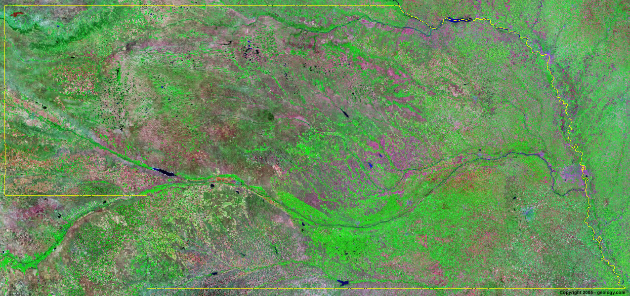
Nebraska Satellite Image - View Cities, Rivers, Lakes & Environment
Satellite Images for Neighboring States:
Colorado Iowa Kansas Missouri South Dakota WyomingThis is a Landsat GeoCover 2000 satellite image map of Nebraska. Cities, rivers, lakes, mountains and other features shown in this image include:
Nebraska Cities:
Beatrice, NE
Bellevue, NE
Columbus, NE
Fremont, NE
Grand Island, NE
Hastings, NE
Lexington, NE
Lincoln, NE
Norfolk, NE
North Platte, NE
Omaha, NE
Scottsbluff, NE
Nebraska Rivers, Lakes, Water Features:
Box Butte Reservoir
Calamus Reservoir
Elkhorn River
Harlan County Lake
Johnson Lake
Lake C. W. McConaughty
Lake Maloney
Lake Minatare
Lewis and Clark Lake
Loup River
Merritt Reservoir
Missouri River
Niobrara River
Platte River
Republican River
Sutherland Reservoir
Swanson Reservoir
Other Prominent Nebraska Features:
Nebraska farm land
Pine Ridge
Sand Hills
Wildcat Ridge
ADVERTISEMENT
More Satellite Images
 State Satellite Images: Color Landsat views of all 50 states. Spectacular images.
 Use Google Earth for FREE: Browse seamless worldwide satellite images. Free.
 Earth from Space at Night: Composite images show worldwide patterns of night light and heat.
 Oil & Gas Fields from Space at Night: Drill pad lighting and flaring make them stand out at night.
 Country Satellite Images: Satellite images for over 170 countries from Landsat GeoCover data.
  Satellite Views of US Cities: Images of 120 cities and their surrounding environment.
 Land Below Sea Level: The top ten locations where land is below the level of the ocean.
  Satellite Views of 64 World Cities: Spectacular images showing the city and surrounding environment.
Copyright information: The images on this page were composed by Angela King and are copyright by Geology.com. These images are not available for use beyond our websites. If you would like to share them with others, please link to this page. The satellite image was produced using Landsat data from NASA.