Home » World Maps » Africa » Equatorial Guinea
Equatorial Guinea Map and Satellite Image
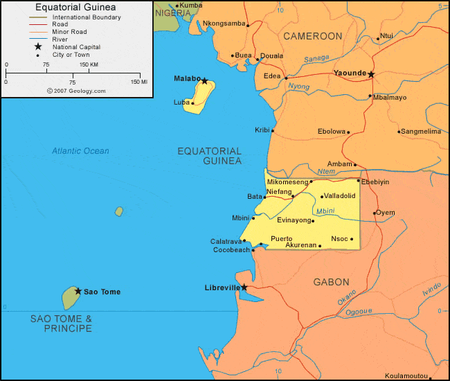
| Equatorial Guinea is located in western Africa. It is bordered by the Atlantic Ocean to the west, Cameroon to the north, and Gabon to the east and south. |
ADVERTISEMENT
Equatorial Guinea Bordering Countries:
Cameroon, GabonRegional Maps:
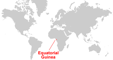
Map of Africa, World MapWhere is Equatorial Guinea?
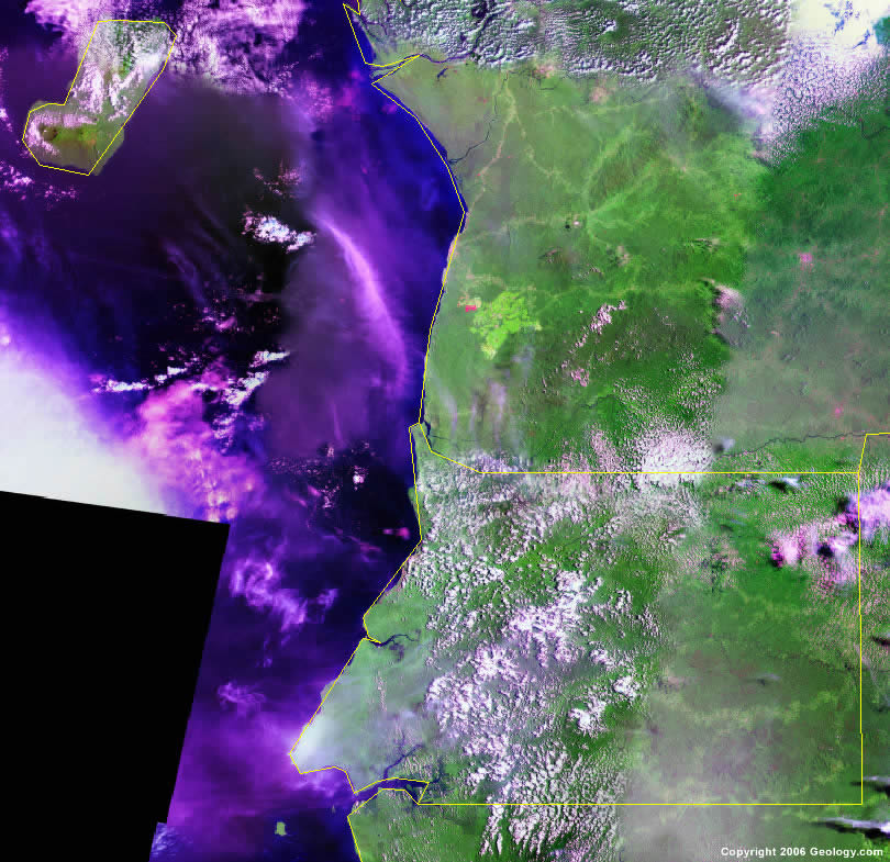
Equatorial Guinea Satellite Image
ADVERTISEMENT

Explore Equatorial Guinea Using Google Earth:
Google Earth is a free program from Google that allows you to explore satellite images showing the cities and landscapes of Equatorial Guinea and all of Africa in fantastic detail. It works on your desktop computer, tablet, or mobile phone. The images in many areas are detailed enough that you can see houses, vehicles and even people on a city street. Google Earth is free and easy-to-use.
Equatorial Guinea on a World Wall Map:
Equatorial Guinea is one of nearly 200 countries illustrated on our Blue Ocean Laminated Map of the World. This map shows a combination of political and physical features. It includes country boundaries, major cities, major mountains in shaded relief, ocean depth in blue color gradient, along with many other features. This is a great map for students, schools, offices and anywhere that a nice map of the world is needed for education, display or decor.
Equatorial Guinea On a Large Wall Map of Africa:
If you are interested in Equatorial Guinea and the geography of Africa our large laminated map of Africa might be just what you need. It is a large political map of Africa that also shows many of the continent's physical features in color or shaded relief. Major lakes, rivers, cities, roads, country boundaries, coastlines and surrounding islands are all shown on the map.Equatorial Guinea Cities:
Akurenan, Bata, Calatrava, Ebebiyin, Evinayong, Luba, Malabo, Mbini, Mikomeseng, Mongomo, Niefang, Nsoc, Puerto, Sevilla de Niefang and Valladolid Mbini.Equatorial Guinea Locations:
Atlantic Ocean, Bight of Bonny, Gulf of Guinea, Mbini River and Ntem River.Equatorial Guinea Natural Resources:
Equatorial Guinea has fuel resources which include petroleum, natural gas and timber. Some of the country's various mineral resources are bauxite, sand, gravel, clay, tantalum, gold and diamonds.Equatorial Guinea Natural Hazards:
Equatorial Guinea is subject to natural hazards which include violent windstorms, and flash floods.Equatorial Guinea Environmental Issues:
The country of Equatorial Guinea in western Africa has environmental issues which include deforestation. In addition, the country's tap water is not potable.
ADVERTISEMENT