Home » World Maps » Africa » Togo
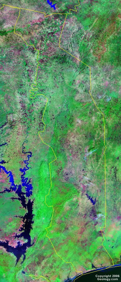
Togo Map and Satellite Image
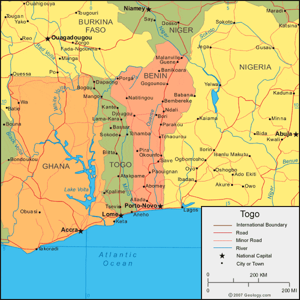
| Togo is located in western Africa. Togo is bordered by the Gulf of Guinea to the south, Ghana to the west, Burkina Faso to the north, and Benin to the east. |
ADVERTISEMENT
Togo Bordering Countries:
Benin, Burkina Faso, GhanaRegional Maps:
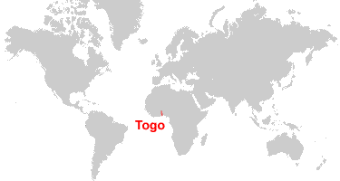
Map of Africa, World MapWhere is Togo?
Togo Satellite Image
ADVERTISEMENT

Explore Togo Using Google Earth:
Google Earth is a free program from Google that allows you to explore satellite images showing the cities and landscapes of Togo and all of Africa in fantastic detail. It works on your desktop computer, tablet, or mobile phone. The images in many areas are detailed enough that you can see houses, vehicles and even people on a city street. Google Earth is free and easy-to-use.
Togo on a World Wall Map:
Togo is one of nearly 200 countries illustrated on our Blue Ocean Laminated Map of the World. This map shows a combination of political and physical features. It includes country boundaries, major cities, major mountains in shaded relief, ocean depth in blue color gradient, along with many other features. This is a great map for students, schools, offices and anywhere that a nice map of the world is needed for education, display or decor.
Togo On a Large Wall Map of Africa:
If you are interested in Togo and the geography of Africa our large laminated map of Africa might be just what you need. It is a large political map of Africa that also shows many of the continent's physical features in color or shaded relief. Major lakes, rivers, cities, roads, country boundaries, coastlines and surrounding islands are all shown on the map.Togo Cities:
Agbodrafo, Aneho, Atakpame, Bassar, Blitta, Bogou, Dapaong, Kante, Kpalime, Lama-Kara, Lokossa, Lome, Mango, Notse, Sokode, Tchamba, Tsevie and Vogan.Togo Locations:
Atlantic Ocean, Gulf of Guinea and Mono River.Togo Natural Resources:
Togo has several natural resources, some of which are limestone, marble, phosphates, and arable land.Togo Natural Hazards:
In the northern portion of Togo, the hot, dry harmattan wind can reduce visibility during winter months. Other natural hazards for this country include periodic droughts.Togo Environmental Issues:
An environmental issue for Togo is water pollution, which presents health hazards and has hindered the fishing industry. In urban areas there is increasing air pollution. The use of wood for fuel and slash-and-burn agriculture has contributed to the country's deforestation.
ADVERTISEMENT