Home » US Maps » Maine » County Map
Maine County Map with County Seat Cities

ADVERTISEMENT
County Maps for Neighboring States:
New Hampshire Vermont
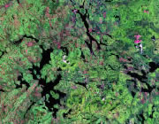


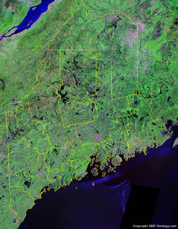
The map above is a Landsat satellite image of Maine with County boundaries superimposed. We have a more detailed satellite image of Maine without County boundaries.


ADVERTISEMENT
Maine Counties and County Seats |
|
|
Androscoggin County - Auburn Aroostook County - Houlton Cumberland County - Portland Franklin County - Farmington Hancock County - Ellsworth Kennebec County - Augusta Knox County - Rockland Lincoln County - Wiscasset |
Oxford County - Paris Penobscot County - Bangor Piscataquis County - Dover-Foxcroft Sagadahoc County - Bath Somerset County - Skowhegan Waldo County - Belfast Washington County - Machias York County - Alfred |
