Home » US Maps » South Carolina » County Map
South Carolina County Map with County Seat Cities

ADVERTISEMENT
County Maps for Neighboring States:
Georgia North Carolina
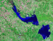


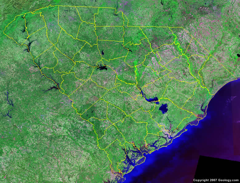
The map above is a Landsat satellite image of South Carolina with County boundaries superimposed. We have a more detailed satellite image of South Carolina without County boundaries.


ADVERTISEMENT
South Carolina Counties and County Seats |
|
|
Abbeville County - Abbeville Aiken County - Aiken Allendale County - Allendale Anderson County - Anderson Bamberg County - Bamberg Barnwell County - Barnwell Beaufort County - Beaufort Berkeley County - Moncks Corner Calhoun County - Saint Matthews Charleston County - Charleston Cherokee County - Gaffney Chester County - Chester Chesterfield County - Chesterfield Clarendon County - Manning Colleton County - Walterboro Darlington County - Darlington Dillon County - Dillon Dorchester County - Saint George Edgefield County - Edgefield Fairfield County - Winnsboro Florence County - Florence Georgetown County - Georgetown Greenville County - Greenville |
Greenwood County - Greenwood Hampton County - Hampton Horry County - Conway Jasper County - Ridgeland Kershaw County - Camden Lancaster County - Lancaster Laurens County - Laurens Lee County - Bishopville Lexington County - Lexington Marion County - Marion Marlboro County - Bennettsville McCormick County - McCormick Newberry County - Newberry Oconee County - Walhalla Orangeburg County - Orangeburg Pickens County - Pickens Richland County - Columbia Saluda County - Saluda Spartanburg County - Spartanburg Sumter County - Sumter Union County - Union Williamsburg County - Kingstree York County - York |
