Home » Satellite Images » US States » Kansas
Satellite Image of Kansas
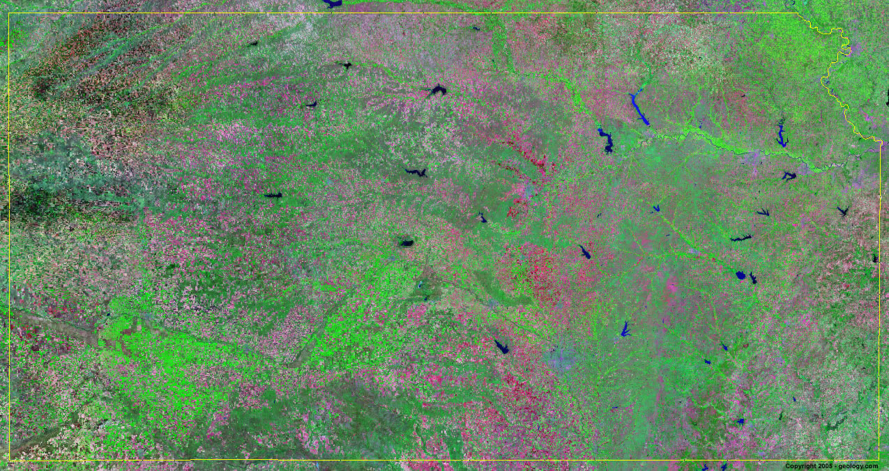
Kansas Satellite Image - View Cities, Rivers, Lakes & Environment
Satellite Images for Neighboring States:
Colorado Missouri Nebraska OklahomaThis is a Landsat GeoCover 2000 satellite image map of Kansas. Cities, rivers, lakes, mountains and other features shown in this image include:
Kansas Cities:
Arkansas City, KS
Atchison, KS
Coffeyville, KS
Colby, KS
Dodge City, KS
Emporia, KS
Garden City, KS
Great Bend, KS
Hays, KS
Hutchinson, KS
Kansas City, KS
Leavenworth, KS
Manhattan, KS
Pittsburg, KS
Salina, KS
Topeka, KS
Wichita, KS
Kansas Rivers, Lakes, Water Features:
Arkansas River
Cedar Bluff Reservoir
Cheney Reservoir
Cheyenne Bottoms
Council Grove Lake
El Dorado Lake
Elk City Lake
Fall River Lake
Hillsdale Lake
John Redmond Reservoir
Kansas River
Kanopolis Lake
Keith Sebelius Lake
Kirwin Reservior
La Cygne Lake
Marion Lake
Melvern Lake
Milford Lake
Missouri River
Neosho River
Perry Lake
Pomona Lake
Republican River
Smoky Hill River
Toronto Lake
Tuttle Creek Lake
Verdigris River
Waconda Lake
Walnut River
Webster Reservoir
Wolf Creek Reservoir
Other Prominent Kansas Features:
Flint Hills
Kansas farm land
ADVERTISEMENT
More Satellite Images
 State Satellite Images: Color Landsat views of all 50 states. Spectacular images.
 Use Google Earth for FREE: Browse seamless worldwide satellite images. Free.
 Earth from Space at Night: Composite images show worldwide patterns of night light and heat.
 Oil & Gas Fields from Space at Night: Drill pad lighting and flaring make them stand out at night.
 Country Satellite Images: Satellite images for over 170 countries from Landsat GeoCover data.
  Satellite Views of US Cities: Images of 120 cities and their surrounding environment.
 Land Below Sea Level: The top ten locations where land is below the level of the ocean.
  Satellite Views of 64 World Cities: Spectacular images showing the city and surrounding environment.
Copyright information: The images on this page were composed by Angela King and are copyright by Geology.com. These images are not available for use beyond our websites. If you would like to share them with others, please link to this page. The satellite image was produced using Landsat data from NASA.