Home » Satellite Images » US States » New Mexico
Satellite Image of New Mexico
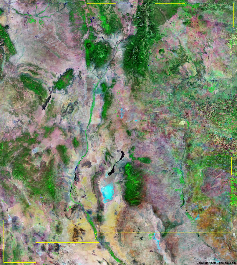
New Mexico Satellite Image - View Cities, Rivers, Lakes & Environment
Satellite Images for Neighboring States:
Arizona Colorado Oklahoma Texas UtahThis is a Landsat GeoCover 2000 satellite image map of New Mexico. Cities, rivers, lakes, mountains and other features shown in this image include:
New Mexico Cities:
Alamogordo, NM
Albuquerque, NM
Carlsbad, NM
Farmington, NM
Gallup, NM
Las Cruces, NM
Roswell, NM
Santa Fe, NM
Taos, NM
New Mexico Rivers, Lakes, Water Features:
Canadian River
Conchas Lake
Elephant Butte Reservoir
Lake McMillan
Navajo Reservoir
Pecos River
Rio Grande
San Juan River
Ute reservoir
Vermejo River
Other Prominent New Mexico Features:
Andres Mountains
Animas Mountains
Black Range
Cimarron Range
Guadalupe Mountains
Manzano Mountains
Mogollon Mountains
Oscura Mountains
Sacramento Mountains
San Juan Basin
San Mateo Mountains
Zuni Mountains
ADVERTISEMENT
More Satellite Images
 State Satellite Images: Color Landsat views of all 50 states. Spectacular images.
 Use Google Earth for FREE: Browse seamless worldwide satellite images. Free.
 Earth from Space at Night: Composite images show worldwide patterns of night light and heat.
 Oil & Gas Fields from Space at Night: Drill pad lighting and flaring make them stand out at night.
 Country Satellite Images: Satellite images for over 170 countries from Landsat GeoCover data.
  Satellite Views of US Cities: Images of 120 cities and their surrounding environment.
 Land Below Sea Level: The top ten locations where land is below the level of the ocean.
  Satellite Views of 64 World Cities: Spectacular images showing the city and surrounding environment.
Copyright information: The images on this page were composed by Angela King and are copyright by Geology.com. These images are not available for use beyond our websites. If you would like to share them with others, please link to this page. The satellite image was produced using Landsat data from NASA.