Home » World Maps » Europe » Belarus
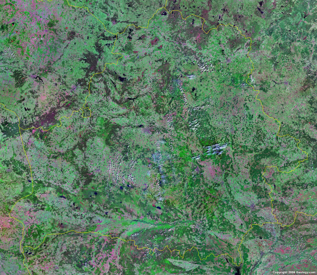
Belarus Map and Satellite Image
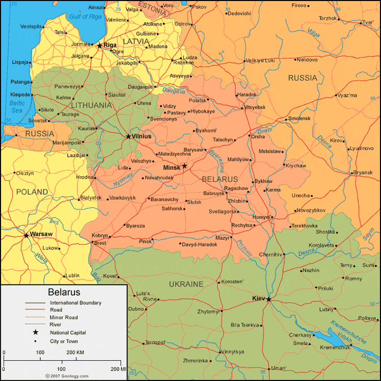
| Belarus is located in eastern Europe. Belarus is bordered by Lithuania and Latvia to the north, Russia to the north and east, Ukraine to the south, and Poland to the west. |
ADVERTISEMENT
Belarus Bordering Countries:
Latvia, Lithuania, Poland, Russia, UkraineRegional Maps:
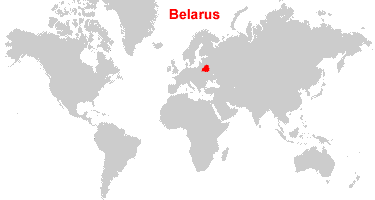
Map of Europe, World MapWhere is Belarus?
Belarus Satellite Image
ADVERTISEMENT

Explore Belarus Using Google Earth:
Google Earth is a free program from Google that allows you to explore satellite images showing the cities and landscapes of Belarus and all of Europe in fantastic detail. It works on your desktop computer, tablet, or mobile phone. The images in many areas are detailed enough that you can see houses, vehicles and even people on a city street. Google Earth is free and easy-to-use.
Belarus on a World Wall Map:
Belarus is one of nearly 200 countries illustrated on our Blue Ocean Laminated Map of the World. This map shows a combination of political and physical features. It includes country boundaries, major cities, major mountains in shaded relief, ocean depth in blue color gradient, along with many other features. This is a great map for students, schools, offices and anywhere that a nice map of the world is needed for education, display or decor.
Belarus On a Large Wall Map of Europe:
If you are interested in Belarus and the geography of Europe our large laminated map of Europe might be just what you need. It is a large political map of Europe that also shows many of the continent's physical features in color or shaded relief. Major lakes, rivers, cities, roads, country boundaries, coastlines and surrounding islands are all shown on the map.Belarus Cities:
Babruysk, Baranavichy, Barysaw, Brest, Byahoml, Byaroza, Bykhaw, Davyd-Haradok, Haradok, Hlybokaye, Homyel, Hrodna, Karma, Kobryn, Krychaw, Lida, Mahilyow, Maladzyechna, Mazyr, Minsk, Mstsislaw, Navabelitsa, Navahrudak, Navapolatsk, Orsha, Pastavy, Pinsk, Polatsk, Ragachow, Rechysta, Salihorsk, Slutsk, Svetlagorsk, Talachyn, Valozhyn, Vawkavysk, Vidzy, Vitsyebsk and Zhlobin.Belarus Locations:
Byarezina River, Daugava River, Dnepr River, Nyoman River, Pinsk Marshes, Prypyats River and Ptsich River.Belarus Natural Resources:
Belarus has small fossil fuel deposits of natural gas and oils. Other mineral resources include granite, dolomitic limestone, marl, chalk, sand, gravel and clay.Belarus Natural Hazards:
Belarus has large areas of marshy land.Belarus Environmental Issues:
The southern part of Belarus is contaminated with fallout from the 1986 nuclear reactor accident at Chornobyl, in northern Ukraine. In addition, the country has soil pollution from pesticide use.
ADVERTISEMENT