Home » World Maps » South America » French Guiana
French Guiana Map and Satellite Image
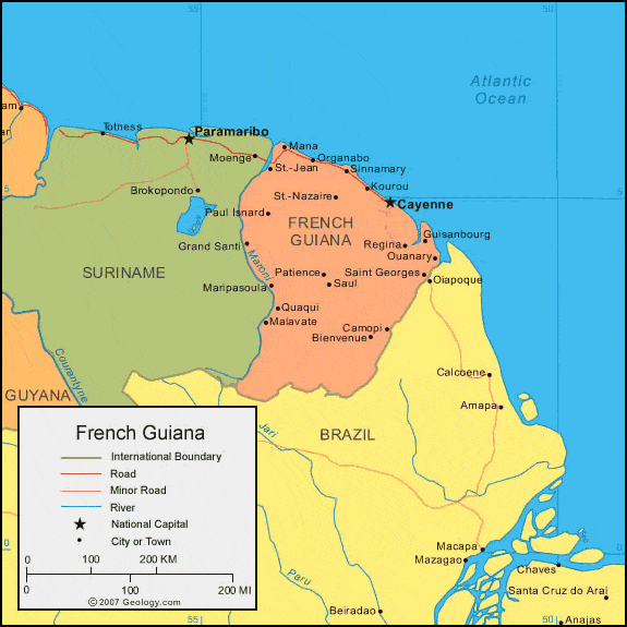
| French Guiana is located in northern South America. It is an overseas region of France. French Guiana is bordered by the Atlantic Ocean to the northeast, Suriname to the west, and Brazil to the southeast. |
ADVERTISEMENT
French Guiana Bordering Countries:
Brazil, SurinameRegional Maps:
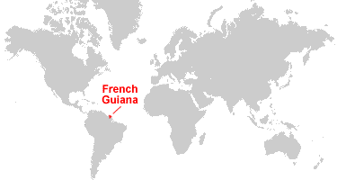
Map of South America, World MapWhere is French Guiana?
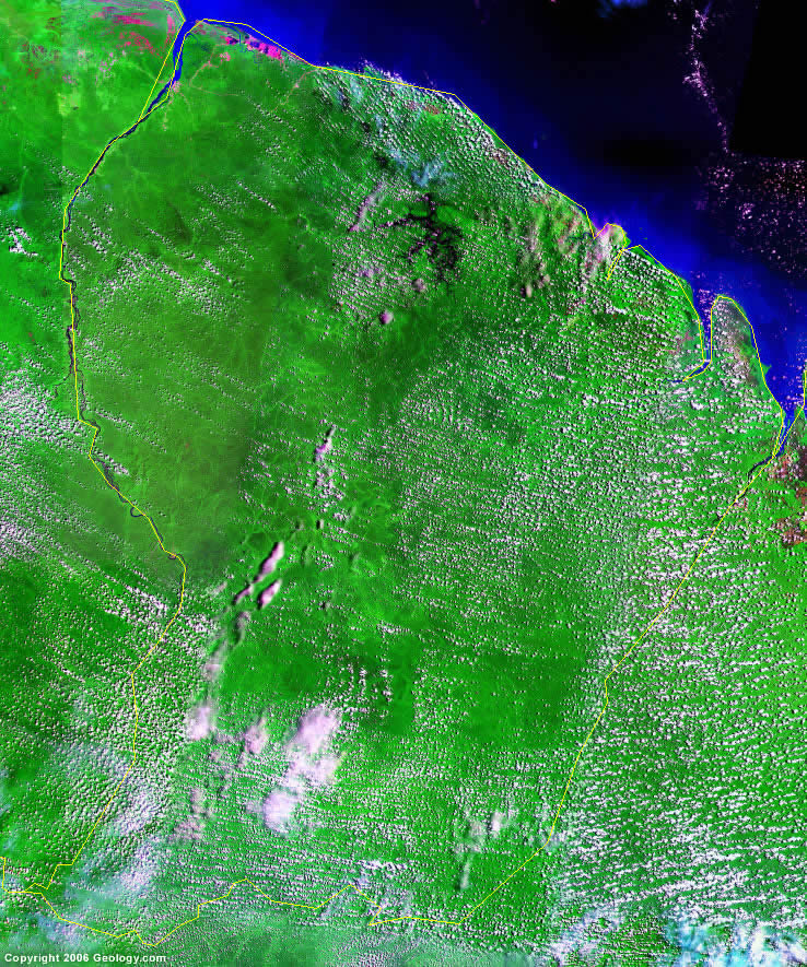
French Guiana Satellite Image
ADVERTISEMENT

Explore French Guiana Using Google Earth:
Google Earth is a free program from Google that allows you to explore satellite images showing the cities and landscapes of French Guiana and all of South America in fantastic detail. It works on your desktop computer, tablet, or mobile phone. The images in many areas are detailed enough that you can see houses, vehicles and even people on a city street. Google Earth is free and easy-to-use.
French Guiana on a World Wall Map:
French Guiana and nearly 200 countries are illustrated on our Blue Ocean Laminated Map of the World. This map shows a combination of political and physical features. It includes country boundaries, major cities, major mountains in shaded relief, ocean depth in blue color gradient, along with many other features. This is a great map for students, schools, offices and anywhere that a nice map of the world is needed for education, display or decor.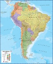
French Guiana On a Large Wall Map of South America:
If you are interested in French Guiana and the geography of South America, our large laminated map of South America might be just what you need. It is a large political map of South America that also shows many of the continent's physical features in color or shaded relief. Major lakes, rivers, cities, roads, country boundaries, coastlines and surrounding islands are all shown on the map.French Guiana Cities:
Belizon, Bienvenue, Camopi, Cayenne, Guisanbourg, Iracoubo, Kaw, Kourou, Maaripasoula, Malabate, Mana, Organabo, Ouanary, Patience, Paul Isnard, Quaqui, Regina, Remire, Roura, Saint Georges, Saul, Sinnamary, St. Jean and St. Nazaire.French Guiana Locations:
Atlantic Ocean, Baie de Oyapock, Maroni River, Oyapock, Pointe Behague and Pointe Isere.French Guiana Natural Resources:
French Guiana has mineral deposits such as clay and kaolin. The metal resources include niobium, bauxite, and tantalum. The country has been the focus of ongoing gold and petroleum exploration. Other natural resources include fish and timber.French Guiana Natural Hazards:
A natural hazard for French Guiana is flooding.
ADVERTISEMENT