Home » World Maps » Asia » Georgia
Georgia Map and Satellite Image

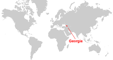
| Georgia is located in southwestern Asia. Georgia is bordered by the Black Sea to the west, Russia to the north, Armenia and Turkey to the south, and Azerbaijan to the southeast. |
ADVERTISEMENT
Georgia Bordering Countries:
Armenia, Azerbaijan, Russia, TurkeyRegional Maps:
Map of Asia, World MapWhere is Georgia?
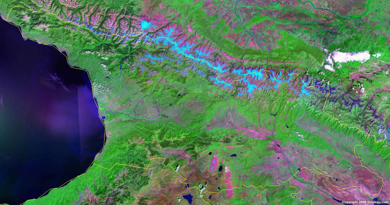
Georgia Satellite Image
ADVERTISEMENT

Explore Georgia Using Google Earth:
Google Earth is a free program from Google that allows you to explore satellite images showing the cities and landscapes of Georgia and all of Asia in fantastic detail. It works on your desktop computer, tablet, or mobile phone. The images in many areas are detailed enough that you can see houses, vehicles and even people on a city street. Google Earth is free and easy-to-use.
Georgia on a World Wall Map:
Georgia is one of nearly 200 countries illustrated on our Blue Ocean Laminated Map of the World. This map shows a combination of political and physical features. It includes country boundaries, major cities, major mountains in shaded relief, ocean depth in blue color gradient, along with many other features. This is a great map for students, schools, offices and anywhere that a nice map of the world is needed for education, display or decor.
Georgia On a Large Wall Map of Asia:
If you are interested in Georgia and the geography of Asia our large laminated map of Asia might be just what you need. It is a large political map of Asia that also shows many of the continent's physical features in color or shaded relief. Major lakes, rivers, cities, roads, country boundaries, coastlines and surrounding islands are all shown on the map.Georgia Cities:
Akhalts'ikhe, Akhmeta, Bat'umi, Belot'i, Bichvint'a, Bogdanovka, Bolnisi, Borjomi, Chiat'aisi, Dushet'i, Gagra, Gali, Gori, Gudaul'a, Khashuri, K'obulet'I, K'ut'aisi, K'vemo Azhara, Lentekhi, Mestia, Och'amch'ire, Oni, Ozurget'i, P'asanaurii, Patara Shiraki, P'ot'I, Rust'avi, Samtredia, Seneki, Sokhum, T'Bilisi (Tiflis), T'elavi, Tqvarch'eli, Tsalka, Zestap'oni and Zugdidi.Georgia Locations:
Alazani River, Black Sea, Caucasus Mountains, Iori River, Khrami River, Kolkhet'is Dablobi, Kur River, Lesser Caucasus Mountains, Rioni River and Tba P'arvant.Georgia Natural Resources:
Georgia's natural resources include forests which are exploitable, and favorable coastal soils and climate which allow for the country's important tea and citrus growth. Various other resources include manganese deposits, iron ore, copper, minor coal and oil deposits, and hydropower.Georgia Natural Hazards:
One of the natural hazards for the country of Georgia is earthquakes.Georgia Environmental Issues:
The country of Georgia has numerous environmental issues. These include air pollution, particularly in Rust'avi (in southeastern Georgia); soil pollution from toxic chemicals; heavy pollution of the Mtkvari River and the Black Sea. Georgia also has inadequate supplies of potable water.
ADVERTISEMENT