Home » World Maps » South America » Guyana
Guyana Map and Satellite Image
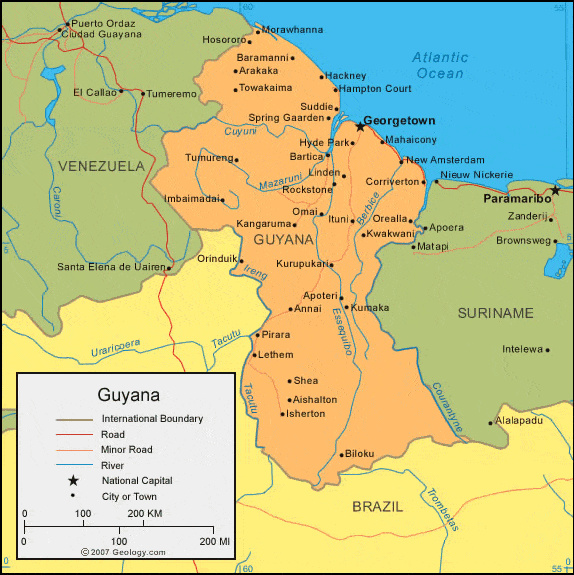
| Guyana is located in northern South America. Guyana is bordered by the Atlantic Ocean to the north, Venezuela to the west, Brazil to the south, and Suriname to the east. |
ADVERTISEMENT
Guyana Bordering Countries:
Brazil, Suriname, VenezuelaRegional Maps:
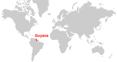
Map of South America, World MapWhere is Guyana?
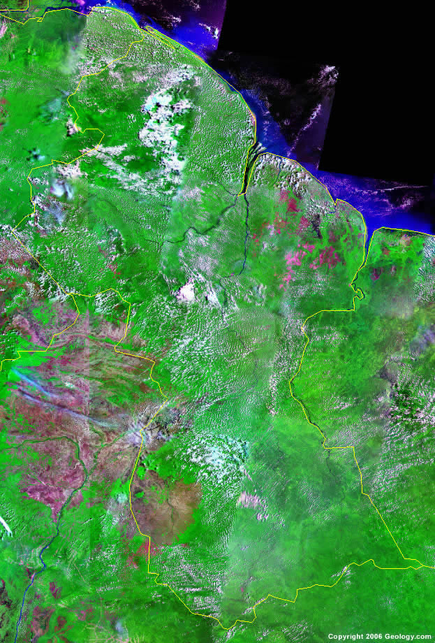
Guyana Satellite Image
ADVERTISEMENT

Explore Guyana Using Google Earth:
Google Earth is a free program from Google that allows you to explore satellite images showing the cities and landscapes of Guyana and all of South America in fantastic detail. It works on your desktop computer, tablet, or mobile phone. The images in many areas are detailed enough that you can see houses, vehicles and even people on a city street. Google Earth is free and easy-to-use.
Guyana on a World Wall Map:
Guyana is one of nearly 200 countries illustrated on our Blue Ocean Laminated Map of the World. This map shows a combination of political and physical features. It includes country boundaries, major cities, major mountains in shaded relief, ocean depth in blue color gradient, along with many other features. This is a great map for students, schools, offices and anywhere that a nice map of the world is needed for education, display or decor.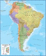
Guyana On a Large Wall Map of South America:
If you are interested in Guyana and the geography of South America our large laminated map of South America might be just what you need. It is a large political map of South America that also shows many of the continent's physical features in color or shaded relief. Major lakes, rivers,cities, roads, country boundaries, coastlines and surrounding islands are all shown on the map.Guyana Cities:
Aishalton, Anna Regina, Annai, Apoteri, Arakaka, Baramanni, Bartica, Biloku, Charity, Corriverton, Georgetown, Hackney, Hampton Court, Hosororo, Hyde Park, Imbaimadai, Isherton, Ituni, Kangaruma, Kumaka, Kurupukari, Kwakwani, Lethem, Linden, Mahaicony, Morawhanna, New Amsterdam, Omai, Orealla, Orinduik, Parika, Pirara, Rockstone, Shea, Spring Garden, Suddie, Towakaima and Tumureng.Guyana Locations:
Amuku Mountains, Atlantic Ocean, Berbice River, Courantyne River, Cuyuni River, Essequibo River, Mazaruni River, Pakaraima Mountains and Tacutu River.Guyana Natural Resources:
Mineral resources for the country of Guyana include bauxite, gold and diamonds. Other natural resources include hardwood timber, shrimp, and fish.Guyana Natural Hazards:
A natural hazard for Guyana is the flash floods, which are a constant threat during rainy seasons.Guyana Environmental Issues:
An environmental issue for Guyana, in northern South America, is deforestation. In addition, the country has water pollution from agricultural and industrial chemicals, and from sewage.
ADVERTISEMENT