Home » World Maps » Europe » Lithuania
Lithuania Map and Satellite Image
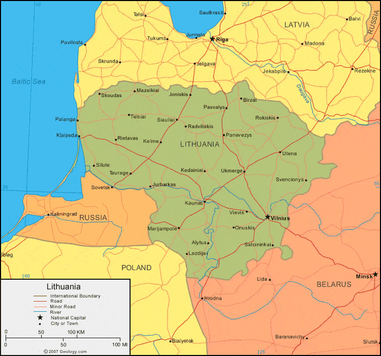
| Lithuania is located in eastern Europe. Lithuania is bordered by the Baltic Sea to the west, Latvia to the north, Belarus to the southeast, and Poland and Russia to the south. |
ADVERTISEMENT
Lithuania Bordering Countries:
Belarus, Latvia, Poland, RussiaRegional Maps:
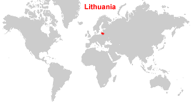
Map of Europe, World MapWhere is Lithuania?
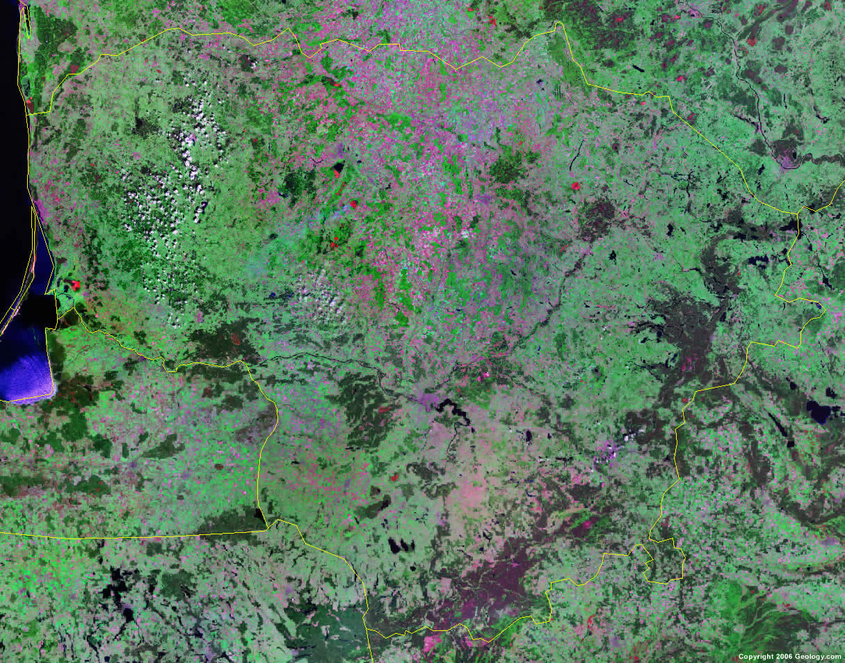
Lithuania Satellite Image
ADVERTISEMENT

Explore Lithuania Using Google Earth:
Google Earth is a free program from Google that allows you to explore satellite images showing the cities and landscapes of Lithuania and all of Europe in fantastic detail. It works on your desktop computer, tablet, or mobile phone. The images in many areas are detailed enough that you can see houses, vehicles and even people on a city street. Google Earth is free and easy-to-use.
Lithuania on a World Wall Map:
Lithuania is one of nearly 200 countries illustrated on our Blue Ocean Laminated Map of the World. This map shows a combination of political and physical features. It includes country boundaries, major cities, major mountains in shaded relief, ocean depth in blue color gradient, along with many other features. This is a great map for students, schools, offices and anywhere that a nice map of the world is needed for education, display or decor.
Lithuania On a Large Wall Map of Europe:
If you are interested in Lithuania and the geography of Europe our large laminated map of Europe might be just what you need. It is a large political map of Europe that also shows many of the continent's physical features in color or shaded relief. Major lakes, rivers,cities, roads, country boundaries, coastlines and surrounding islands are all shown on the map.Lithuania Cities:
Alanta, Alytus, Birzai, Giruliai, Joniskis, Jurbarkas, Kaunas, Kedainiai, Kelme, Klaipeda, Kretinga, Lazdijai, Likenai, Linkuva, Marijampole, Mazeikiai, Onuskis, Palanga, Panevezys, Pasvalys, Plunge, Radviliskis, Rietavas, Rokiskis, Salcininkai, Seduva, Siauliai, Silute, Skuodas, Svencionys, Taurage, Telsiai, Ukmerge, Utena, Vievis, Vilnius and Zagare.Lithuania Locations:
Baltic Sea, Druksiu Ezeras, Neris River and Sventoji River.Lithuania Natural Resources:
Lithuania has natural resources which include peat and arable land.Lithuania Natural Hazards:
There are no natural hazards listed in CIA - The World Factbook for Lithuania.Lithuania Environmental Issues:
The environmental issues for the country of Lithuania include soil and groundwater contamination from petroleum products and chemicals at military bases.
ADVERTISEMENT