Home » World Maps » Asia » Sri Lanka
Sri Lanka Map and Satellite Image

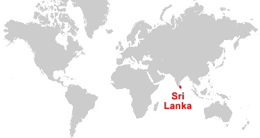
| Sri Lanka is located in southern Asia, off the southeast coast of India. Sri Lanka is an island that is bordered by the Gulf of Mannar to the west, the Bay of Bengal to the east, the Indian Ocean to the south, and Palk Bay to the northwest. |
ADVERTISEMENT
Sri Lanka Neighboring Countries:
IndiaRegional Maps:
Map of Asia, World MapWhere is Sri Lanka?
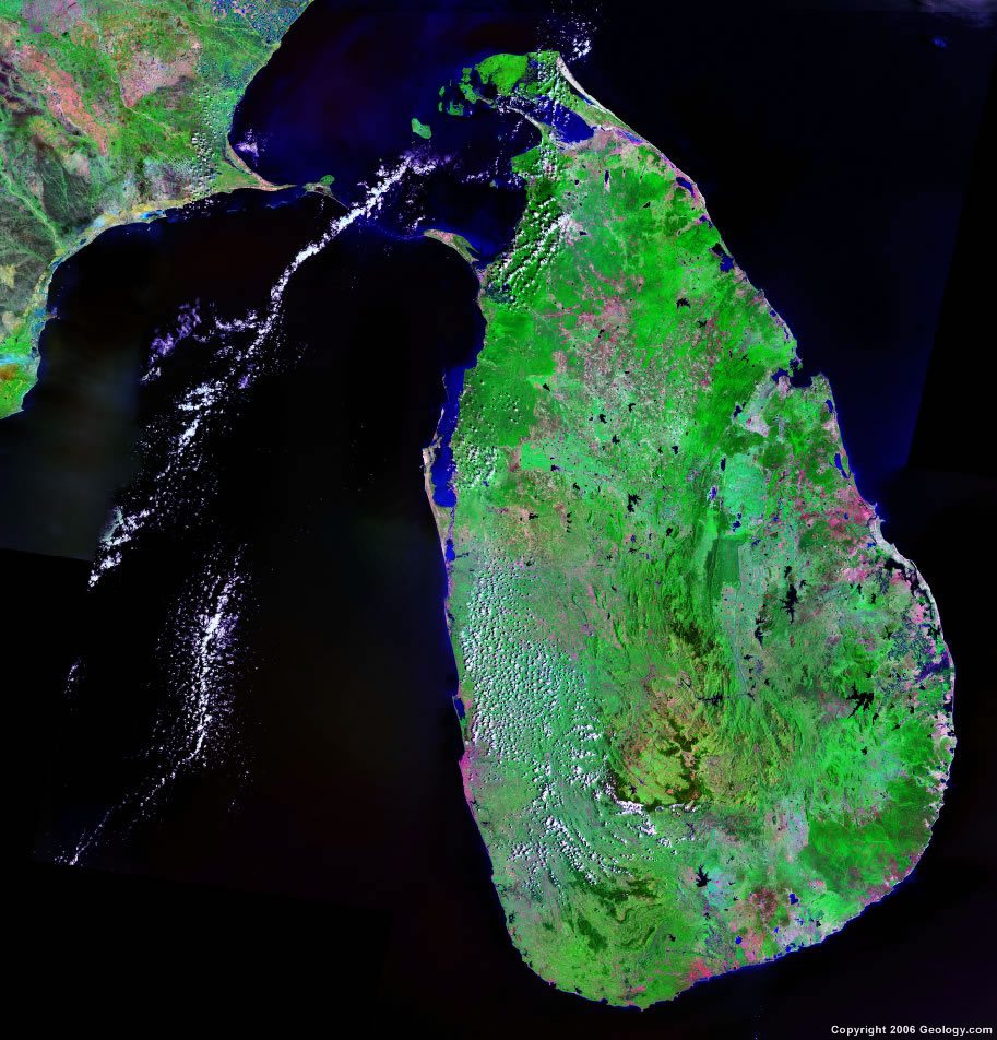
Sri Lanka Satellite Image
ADVERTISEMENT

Explore Sri Lanka Using Google Earth:
Google Earth is a free program from Google that allows you to explore satellite images showing the cities and landscapes of Sri Lanka and all of Asia in fantastic detail. It works on your desktop computer, tablet, or mobile phone. The images in many areas are detailed enough that you can see houses, vehicles and even people on a city street. Google Earth is free and easy-to-use.
Sri Lanka on a World Wall Map:
Sri Lanka is one of nearly 200 countries illustrated on our Blue Ocean Laminated Map of the World. This map shows a combination of political and physical features. It includes country boundaries, major cities, major mountains in shaded relief, ocean depth in blue color gradient, along with many other features. This is a great map for students, schools, offices and anywhere that a nice map of the world is needed for education, display or decor.
Sri Lanka On a Large Wall Map of Asia:
If you are interested in Sri Lanka and the geography of Asia our large laminated map of Asia might be just what you need. It is a large political map of Asia that also shows many of the continent's physical features in color or shaded relief. Major lakes, rivers, cities, roads, country boundaries, coastlines and surrounding islands are all shown on the map.Sri Lanka Cities:
Ambalangoda, Ambalantota, Amparai, Anuradhapura, Badulla, Batticaloa, Bentota, Beruwala, Chilaw, Colombo, Galle, Hambantota, Hendala, Hikkaduwa, Jaffna, Kalpitiya, Kalutara, Kandy, Kankesanturai, Kattankudi, Kegalla, Killinochchi, Kurunegala, Maho, Mankulam, Mannar, Matale, Matara, Moneragala, Moratuwa, Mullaittibu, Negombo, Nuwara Eliya, Opanake, Panadura, Point Pedro, Polgahawela, Polonnaruwa, Pottuvil, Pulmoddai, Puttalam, Ratnapura, Trincomalee, Vavuniya and Weligama.Sri Lanka Locations:
Bay of Bengal, Gal Oya, Gulf of Mannar, Indian Ocean, Kala Oya, Kalu Ganga, Koddiyar Bay, Mundal Lake, Palk Bay, Palk Strait and Yari Oya.Sri Lanka Natural Resources:
Sri Lanka has mineral resources which include graphite, gems, limestone, mineral sands, and clay. Other natural resources for the country include phosphates and hydropower.Sri Lanka Natural Hazards:
Sri Lanka has some natural hazards, which include the occasional tornado or cyclone.Sri Lanka Environmental Issues:
The country of Sri Lanka has a number of environmental issues. The freshwater resources are being polluted by waste disposal, sewage runoff, and the industrial wastes. There is coastal degradation from the increased pollution and mining activities. Issues regarding the land include deforestation and soil erosion. The country's wildlife populations are threatened by poaching and urbanization. The city of Colombo has air pollution.
ADVERTISEMENT