Home » World Maps » Asia » Syria
Syria Map and Satellite Image
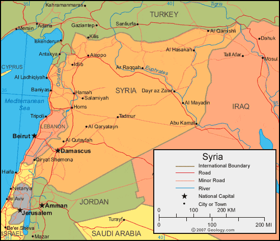
| Syria is located in the Middle East. Syria is bordered by Lebanon, Israel, and the Mediterranean Sea to the west, Turkey to the north, Iraq to the east, and Jordan to the south. |
ADVERTISEMENT
Syria Neighboring Countries:
Iraq, Israel, Jordan, Lebanon, TurkeyRegional Maps:
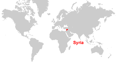
Asia, Middle East, WorldWhere is Syria?
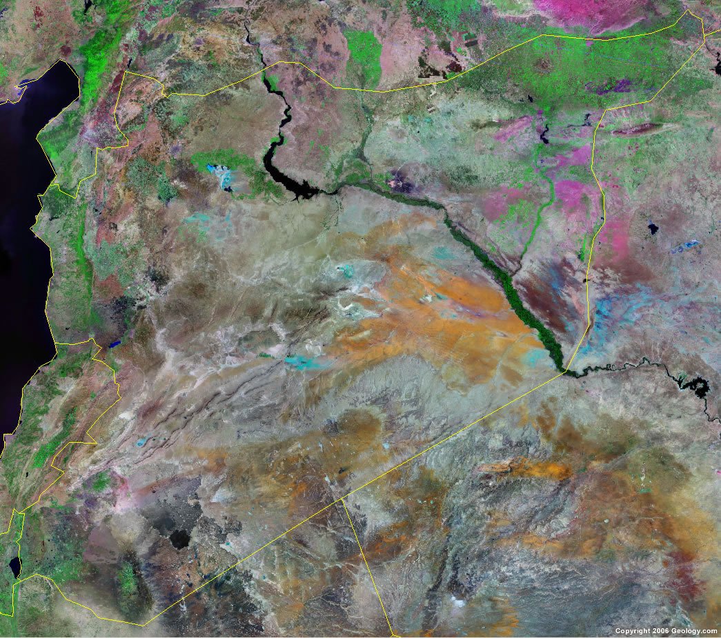
Syria Satellite Image
ADVERTISEMENT

Explore Syria Using Google Earth:
Google Earth is a free program from Google that allows you to explore satellite images showing the cities and landscapes of Syria and all of Asia in fantastic detail. It works on your desktop computer, tablet, or mobile phone. The images in many areas are detailed enough that you can see houses, vehicles and even people on a city street. Google Earth is free and easy-to-use.
Syria on a World Wall Map:
Syria is one of nearly 200 countries illustrated on our Blue Ocean Laminated Map of the World. This map shows a combination of political and physical features. It includes country boundaries, major cities, major mountains in shaded relief, ocean depth in blue color gradient, along with many other features. This is a great map for students, schools, offices and anywhere that a nice map of the world is needed for education, display or decor.
Syria On a Large Wall Map of Asia:
If you are interested in Syria and the geography of Asia our large laminated map of Asia might be just what you need. It is a large political map of Asia that also shows many of the continent's physical features in color or shaded relief. Major lakes, rivers, cities, roads, country boundaries, coastlines and surrounding islands are all shown on the map.Syria Cities:
Abu Kamal, Al Bab, Al Hasakah, Al Ladhiqiyah (Latakia), Al Mayadin, Al Qamishi, Al Qaryatayn, Al Qusayr, Al Qutayfah, Aleppo, An Nabk, Ar Raqqah, Ar Rastan, Az Zabadani, Dar'a, As Suwayda, Dayr az Zawr, Dimashq (Damascus), Duma, Halab (Aleppo), Hamah (Hamath), Hims (Homs), Idib, Jablah, Manbij, Reyhanli, Salamiyah and Tadmur.Syria Locations:
Al Furat (Euphrates River), Balikh River, Buhayrat al Asad, Khabur River, Mediterranean Sea and Sabkhat al Burghuth.Syria Natural Resources:
Syria's mineral resources include gypsum and chrome, iron, and manganese ores. A variety of other natural resources include petroleum, phosphates, asphalt, rock salt, marble, and hydropower.Syria Natural Hazards:
Syria has some natural hazards such as sandstorms and dust storms.Syria Environmental Issues:
Environmental issues for Syria relate mostly to the land and water. Some issues regarding the land include deforestation, overgrazing, soil erosion, and desertification. Concerning the water is pollution from raw sewage and petroleum refining wastes. In a addition to this is an inadequate supply of potable water.
ADVERTISEMENT